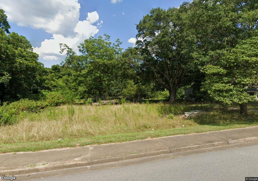
12 Cornog Rd Lavonia, GA 30553
Estimated Value: $31,602 - $150,000
2
Beds
1
Bath
1,501
Sq Ft
$49/Sq Ft
Est. Value
About This Home
This home is located at 12 Cornog Rd, Lavonia, GA 30553 and is currently estimated at $73,651, approximately $49 per square foot. 12 Cornog Rd is a home located in Franklin County with nearby schools including Franklin County High School.
Ownership History
Date
Name
Owned For
Owner Type
Purchase Details
Closed on
Mar 26, 2021
Sold by
Gdp Holdings Llc
Bought by
Gdph Builders Llc
Current Estimated Value
Purchase Details
Closed on
Feb 5, 2021
Sold by
Johnson Tasha Marie
Bought by
Gdp Holdings Llc
Purchase Details
Closed on
Jan 8, 2020
Sold by
Johnson Herman
Bought by
Johnson Tasha Marie
Purchase Details
Closed on
May 18, 1985
Sold by
Bill Phillips Sales Agency Inc
Bought by
Johnson Herman
Create a Home Valuation Report for This Property
The Home Valuation Report is an in-depth analysis detailing your home's value as well as a comparison with similar homes in the area
Home Values in the Area
Average Home Value in this Area
Purchase History
| Date | Buyer | Sale Price | Title Company |
|---|---|---|---|
| Gdph Builders Llc | -- | -- | |
| Gdp Holdings Llc | $22,000 | -- | |
| Johnson Tasha Marie | -- | -- | |
| Johnson Herman | $18,000 | -- |
Source: Public Records
Tax History Compared to Growth
Tax History
| Year | Tax Paid | Tax Assessment Tax Assessment Total Assessment is a certain percentage of the fair market value that is determined by local assessors to be the total taxable value of land and additions on the property. | Land | Improvement |
|---|---|---|---|---|
| 2024 | $40 | $1,200 | $1,200 | $0 |
| 2023 | $43 | $1,200 | $1,200 | $0 |
| 2022 | $292 | $8,132 | $1,200 | $6,932 |
| 2021 | $266 | $7,105 | $900 | $6,205 |
| 2020 | $539 | $14,196 | $900 | $13,296 |
| 2019 | $526 | $14,196 | $900 | $13,296 |
| 2018 | $446 | $11,988 | $900 | $11,088 |
| 2017 | $459 | $11,988 | $900 | $11,088 |
| 2016 | $424 | $10,522 | $900 | $9,622 |
| 2015 | -- | $10,522 | $900 | $9,622 |
| 2014 | -- | $10,522 | $900 | $9,622 |
| 2013 | -- | $10,522 | $900 | $9,622 |
Source: Public Records
Map
Nearby Homes
- 5474 Vickery St
- 5494 Vickery St
- 90 Old City Park Rd
- 45 Wright St Unit 64
- 57 Wright St Unit 68
- 55 Wright St Unit 67
- 51 Wright St Unit 66
- 49 Wright St Unit 65
- 5710 Vickery St
- 0 Highway 59 Unit 10615036
- 353 Bow Dr
- 59 Wright St Unit 69
- 89 Huntington Dr
- 103 Ross Place
- 138 Victoria Ln
- 86 Luckie St
- 266 Randall St
- 104 Powers Rd
- 0 Hwy 59 and Ross Place Unit 10499138
- 0 Deer Run Trail Unit 10622166
- 0 Cornog Rd Unit TRACT 3010284
- 0 Cornog Rd
- 0 Cornog Rd Unit 20025580
- 0 Cornog Rd Unit 7171851
- 0 Cornog Rd Unit 3214518
- 0 Cornog Rd Unit 8958478
- 0 Cornog Rd Unit 8108899
- 0 Cornog Rd Unit 8862044
- 0 Cornog Rd Unit 8566820
- 64 Cornog Rd
- 0 Silo Ln Unit TRACT 7 3271212
- 0 Silo Ln Unit TRACT 6
- 0 Silo Ln Unit TRACT 6 3271182
- 0 Silo Ln Unit 8809702
- 0 Silo Ln Unit 8730964
- 90 Vandiver Ave
- 13325 Jones St
- 49 Oak St
- 271 Carolina Ln
- 37 Vandiver Ave
