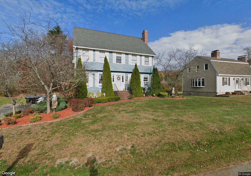
12 Cote St Amesbury, MA 01913
Estimated Value: $757,000 - $844,000
3
Beds
3
Baths
2,321
Sq Ft
$351/Sq Ft
Est. Value
About This Home
This home is located at 12 Cote St, Amesbury, MA 01913 and is currently estimated at $814,847, approximately $351 per square foot. 12 Cote St is a home located in Essex County with nearby schools including Amesbury High School and Amesbury Seventh-Day Adventist School.
Ownership History
Date
Name
Owned For
Owner Type
Purchase Details
Closed on
Jun 14, 1999
Sold by
P & C Rt
Bought by
Marcotte Donald M and Marcotte Helen M
Current Estimated Value
Create a Home Valuation Report for This Property
The Home Valuation Report is an in-depth analysis detailing your home's value as well as a comparison with similar homes in the area
Home Values in the Area
Average Home Value in this Area
Purchase History
| Date | Buyer | Sale Price | Title Company |
|---|---|---|---|
| Marcotte Donald M | $259,900 | -- |
Source: Public Records
Mortgage History
| Date | Status | Borrower | Loan Amount |
|---|---|---|---|
| Open | Marcotte Donald M | $196,000 | |
| Closed | Marcotte Donald M | $210,000 | |
| Closed | Marcotte Donald M | $50,000 | |
| Closed | Marcotte Donald M | $143,546 |
Source: Public Records
Tax History Compared to Growth
Tax History
| Year | Tax Paid | Tax Assessment Tax Assessment Total Assessment is a certain percentage of the fair market value that is determined by local assessors to be the total taxable value of land and additions on the property. | Land | Improvement |
|---|---|---|---|---|
| 2025 | $10,514 | $687,200 | $227,300 | $459,900 |
| 2024 | $10,266 | $656,400 | $214,400 | $442,000 |
| 2023 | $9,392 | $574,800 | $186,400 | $388,400 |
| 2022 | $8,994 | $508,400 | $162,100 | $346,300 |
| 2021 | $8,570 | $469,600 | $129,000 | $340,600 |
| 2020 | $7,637 | $444,500 | $124,000 | $320,500 |
| 2019 | $7,912 | $430,700 | $124,000 | $306,700 |
| 2018 | $7,590 | $399,700 | $118,100 | $281,600 |
| 2017 | $7,773 | $389,600 | $118,100 | $271,500 |
| 2016 | $7,721 | $380,700 | $118,100 | $262,600 |
| 2015 | $7,553 | $367,700 | $118,100 | $249,600 |
| 2014 | $7,329 | $349,500 | $118,100 | $231,400 |
Source: Public Records
Map
Nearby Homes
- 204 Elm St
- 179 Elm St
- 15 Atlantic Ave
- 161 Elm St Unit A
- 47 Macy St
- 45 Macy St Unit 302C
- 22 Huntington Ave
- 434 Main St
- 435 Main St
- 394 Main St
- 2 Birchwood Ct Unit 101
- 43 Aubin St Unit 1
- 24 Aubin St Unit 2
- 25 Clarks Rd Unit 307
- 5 Richs Ct Unit 3
- 97 Elm St
- 356 Main St
- 7 Melrose St
- 6 Wells Ave Unit C
- 4 Greenwood St