Estimated Value: $827,000 - $1,008,000
4
Beds
2
Baths
2,032
Sq Ft
$447/Sq Ft
Est. Value
About This Home
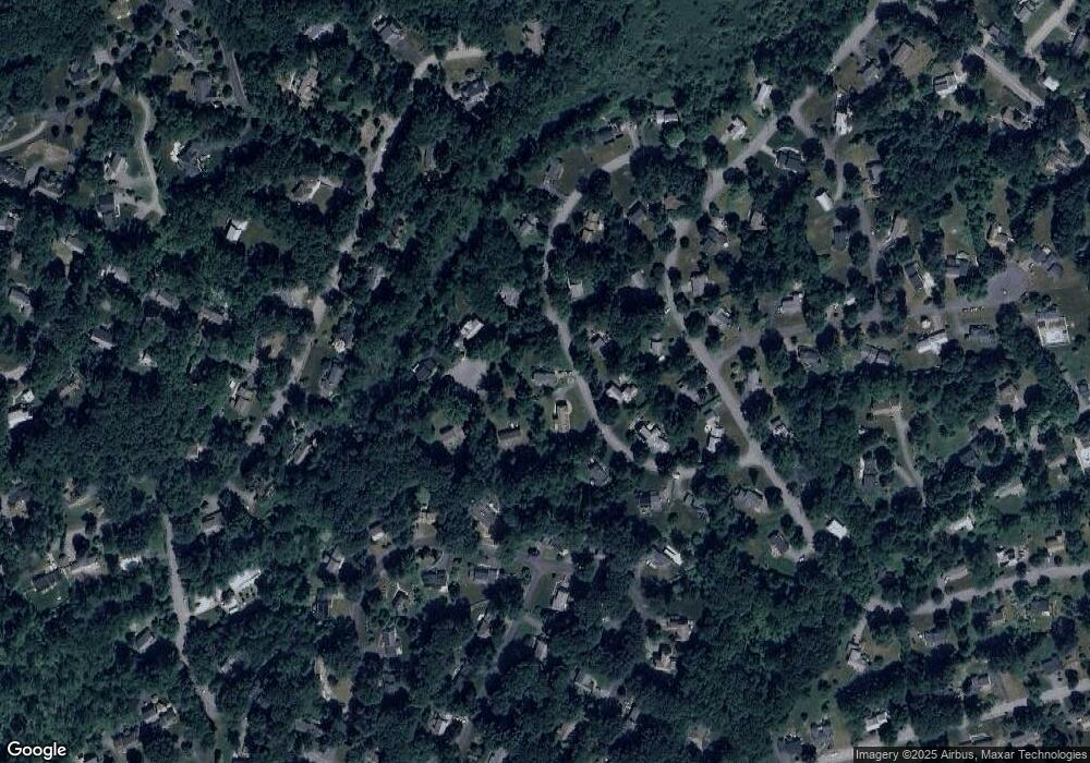
This home is located at 12 Cowdrey Ln, Acton, MA 01720 and is currently estimated at $907,987, approximately $446 per square foot. 12 Cowdrey Ln is a home located in Middlesex County with nearby schools including Acton-Boxborough Regional High School and Oak Meadow Montessori School.
Ownership History
Date
Name
Owned For
Owner Type
Purchase Details
Closed on
Sep 15, 2023
Sold by
Bartow William C and Bartow Susan M
Bought by
Bartow T T and Bartow B
Current Estimated Value
Purchase Details
Closed on
Aug 17, 1998
Sold by
Lancia Louis E and Lancia Maureen D
Bought by
Bartow William and Bartow Susan M
Home Financials for this Owner
Home Financials are based on the most recent Mortgage that was taken out on this home.
Original Mortgage
$227,150
Interest Rate
6.94%
Mortgage Type
Purchase Money Mortgage
Create a Home Valuation Report for This Property
The Home Valuation Report is an in-depth analysis detailing your home's value as well as a comparison with similar homes in the area
Home Values in the Area
Average Home Value in this Area
Purchase History
| Date | Buyer | Sale Price | Title Company |
|---|---|---|---|
| Bartow T T | -- | None Available | |
| Bartow William | $292,000 | -- | |
| Bartow William | $292,000 | -- |
Source: Public Records
Mortgage History
| Date | Status | Borrower | Loan Amount |
|---|---|---|---|
| Previous Owner | Bartow William | $227,150 | |
| Previous Owner | Bartow William | $181,500 |
Source: Public Records
Tax History Compared to Growth
Tax History
| Year | Tax Paid | Tax Assessment Tax Assessment Total Assessment is a certain percentage of the fair market value that is determined by local assessors to be the total taxable value of land and additions on the property. | Land | Improvement |
|---|---|---|---|---|
| 2025 | $12,667 | $738,600 | $342,500 | $396,100 |
| 2024 | $11,896 | $713,600 | $342,500 | $371,100 |
| 2023 | $11,758 | $669,600 | $311,500 | $358,100 |
| 2022 | $11,149 | $573,200 | $270,500 | $302,700 |
| 2021 | $10,868 | $537,200 | $250,400 | $286,800 |
| 2020 | $10,259 | $533,200 | $250,400 | $282,800 |
| 2019 | $9,757 | $503,700 | $250,400 | $253,300 |
| 2018 | $9,740 | $502,600 | $250,400 | $252,200 |
| 2017 | $9,503 | $498,600 | $250,400 | $248,200 |
| 2016 | $9,355 | $486,500 | $250,400 | $236,100 |
| 2015 | $9,173 | $481,500 | $250,400 | $231,100 |
| 2014 | $8,933 | $459,300 | $250,400 | $208,900 |
Source: Public Records
Map
Nearby Homes
- 23 John Swift Rd
- 491 Main St
- 524 Main St
- 709 Main St
- 5 Oakwood Rd
- 4 Huron Rd
- 209 Great Rd Unit C1
- 8 Laurel Ct
- 31 Mohawk Dr
- 9 Elm St Unit 1
- 11 Horseshoe Dr
- 169 Main St
- 5 Elm St Unit 1
- 285 Central St Unit 285
- 159 Skyline Dr Unit 159
- 86 School St
- 71 School St
- 70 River St
- 129 Main St Unit 129
- 129 Main St
- 10 Cowdrey Ln
- 4 Eliot Cir
- 7 Cowdrey Ln
- 14 Cowdrey Ln
- 5 Cowdrey Ln
- 3 Eliot Cir
- 11 Cowdrey Ln
- 8 Cowdrey Ln
- 6 Eliot Cir
- 22 Simon Willard Rd
- 3 Cowdrey Ln
- 5 Eliot Cir
- 14 Revolutionary Rd
- 24 Simon Willard Rd
- 16 Cowdrey Ln
- 16 Revolutionary Rd
- 20 Simon Willard Rd
- 6 Cowdrey Ln
- 12 Revolutionary Rd
- 12 Revolutionary Rd Unit 12
