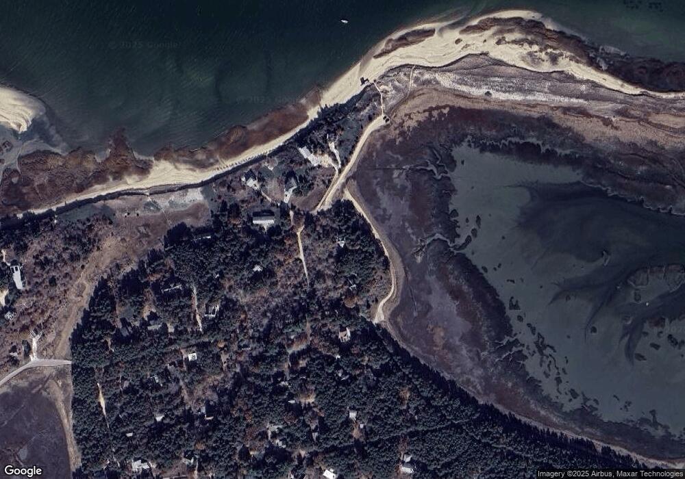
12 D St Wellfleet, MA 2667
Estimated Value: $938,000 - $1,217,000
2
Beds
1
Bath
1,324
Sq Ft
$780/Sq Ft
Est. Value
About This Home
This home is located at 12 D St, Wellfleet, MA 2667 and is currently estimated at $1,033,331, approximately $780 per square foot. 12 D St is a home located in Barnstable County with nearby schools including Wellfleet Elementary School, Nauset Regional Middle School, and Nauset Regional High School.
Create a Home Valuation Report for This Property
The Home Valuation Report is an in-depth analysis detailing your home's value as well as a comparison with similar homes in the area
Home Values in the Area
Average Home Value in this Area
Tax History Compared to Growth
Tax History
| Year | Tax Paid | Tax Assessment Tax Assessment Total Assessment is a certain percentage of the fair market value that is determined by local assessors to be the total taxable value of land and additions on the property. | Land | Improvement |
|---|---|---|---|---|
| 2025 | $7,680 | $1,080,200 | $681,900 | $398,300 |
| 2024 | $7,109 | $1,040,900 | $649,400 | $391,500 |
| 2023 | $6,245 | $897,200 | $550,400 | $346,800 |
| 2022 | $5,711 | $734,100 | $482,800 | $251,300 |
| 2021 | $3,258 | $644,400 | $431,000 | $213,400 |
| 2020 | $5,060 | $652,900 | $443,200 | $209,700 |
| 2019 | $4,971 | $643,100 | $443,200 | $199,900 |
| 2018 | $4,607 | $641,700 | $443,200 | $198,500 |
| 2017 | $4,325 | $637,900 | $443,200 | $194,700 |
| 2016 | $4,388 | $642,400 | $438,800 | $203,600 |
| 2015 | $4,860 | $716,800 | $517,200 | $199,600 |
Source: Public Records
Map
Nearby Homes
- 80 4th St
- 95 Barker St
- 90 Blue Heron Rd
- 45 Indian Neck Rd
- 1937 State Highway Route 6 Unit E
- 1937 State Highway Route 6 Unit E
- 2032 State Hwy Rte 6 Unit F/ (6)
- 95 Old County Rd
- 46 Spring Brook Rd
- 49 Village Ln
- 175 Delphi Path
- 340 Salt Works Rd
- 140 Harvest Rd
- 1460 Massasoit Rd
- 135 Marven Way
- 105 Howard Ct
- 100 Gigi Ln
- 30 Harbor View Cir
- 164 Kendrick Ave Unit C
- 5470 State Hwy
