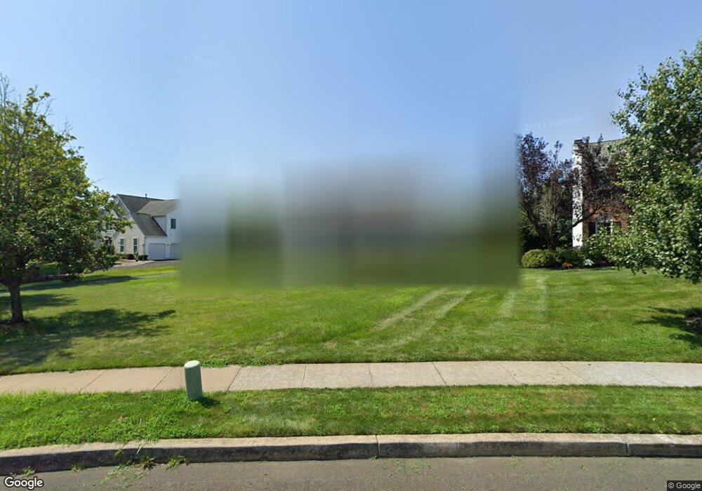
12 Dartmouth Dr Doylestown, PA 18901
Estimated Value: $874,405 - $928,000
4
Beds
3
Baths
2,864
Sq Ft
$313/Sq Ft
Est. Value
About This Home
This home is located at 12 Dartmouth Dr, Doylestown, PA 18901 and is currently estimated at $897,351, approximately $313 per square foot. 12 Dartmouth Dr is a home located in Bucks County with nearby schools including Mill Creek Elementary School, Unami Middle School, and Central Bucks High School - South.
Ownership History
Date
Name
Owned For
Owner Type
Purchase Details
Closed on
Aug 18, 1998
Sold by
Bidinger G Michael and Bidinger Stephanie
Bought by
Nickerson Thomas P and Nickerson Cynthia W
Current Estimated Value
Home Financials for this Owner
Home Financials are based on the most recent Mortgage that was taken out on this home.
Original Mortgage
$208,800
Outstanding Balance
$43,560
Interest Rate
6.92%
Estimated Equity
$853,791
Purchase Details
Closed on
Oct 18, 1995
Sold by
Doylestown Knoll Associates Lp
Bought by
Bidinger G Michael and Bidinger Stephanie
Home Financials for this Owner
Home Financials are based on the most recent Mortgage that was taken out on this home.
Original Mortgage
$180,900
Interest Rate
7.6%
Create a Home Valuation Report for This Property
The Home Valuation Report is an in-depth analysis detailing your home's value as well as a comparison with similar homes in the area
Home Values in the Area
Average Home Value in this Area
Purchase History
| Date | Buyer | Sale Price | Title Company |
|---|---|---|---|
| Nickerson Thomas P | $261,050 | -- | |
| Bidinger G Michael | $226,138 | -- |
Source: Public Records
Mortgage History
| Date | Status | Borrower | Loan Amount |
|---|---|---|---|
| Open | Nickerson Thomas P | $208,800 | |
| Previous Owner | Bidinger G Michael | $180,900 |
Source: Public Records
Tax History Compared to Growth
Tax History
| Year | Tax Paid | Tax Assessment Tax Assessment Total Assessment is a certain percentage of the fair market value that is determined by local assessors to be the total taxable value of land and additions on the property. | Land | Improvement |
|---|---|---|---|---|
| 2025 | $7,794 | $44,040 | $6,680 | $37,360 |
| 2024 | $7,794 | $44,040 | $6,680 | $37,360 |
| 2023 | $7,431 | $44,040 | $6,680 | $37,360 |
| 2022 | $7,349 | $44,040 | $6,680 | $37,360 |
| 2021 | $7,197 | $44,040 | $6,680 | $37,360 |
| 2020 | $7,164 | $44,040 | $6,680 | $37,360 |
| 2019 | $7,087 | $44,040 | $6,680 | $37,360 |
| 2018 | $7,065 | $44,040 | $6,680 | $37,360 |
| 2017 | $7,010 | $44,040 | $6,680 | $37,360 |
| 2016 | $6,966 | $44,040 | $6,680 | $37,360 |
| 2015 | -- | $44,040 | $6,680 | $37,360 |
| 2014 | -- | $44,040 | $6,680 | $37,360 |
Source: Public Records
Map
Nearby Homes
- 20 Woodstone Dr
- 1101 Deerfield Ln
- 47 Mill Creek Dr Unit 32
- 47 Mill Creek Dr
- 52 Tradesville Dr Unit 83
- Vetri Plan at Doylestown Walk
- 52 Tradesville Dr
- 2 Mill Creek Dr
- 2 Mill Creek Dr Unit 137
- 6 Mill Creek Dr
- 73 Tradesville Dr
- 73 Tradesville Dr Unit 80
- 1 Mill Creek Dr
- 21 Mill Creek Dr Unit 11
- 21 Mill Creek Dr
- 23 Mill Creek Dr
- 25 Mill Creek Dr
- 25 Mill Creek Dr Unit 13
- 137 Wells Rd
- 612 Bethel Ln Unit THE ROOSEVELT PLAN