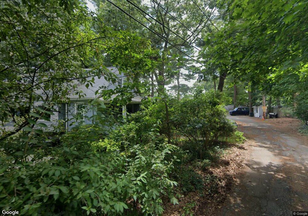
12 Dartmouth St Natick, MA 01760
Estimated Value: $688,000 - $975,000
3
Beds
1
Bath
1,072
Sq Ft
$743/Sq Ft
Est. Value
About This Home
This home is located at 12 Dartmouth St, Natick, MA 01760 and is currently estimated at $797,009, approximately $743 per square foot. 12 Dartmouth St is a home located in Middlesex County with nearby schools including Natick High School, Bennett-Hemenway (Ben-Hem) Elementary School, and Wilson Middle School.
Ownership History
Date
Name
Owned For
Owner Type
Purchase Details
Closed on
May 5, 2016
Sold by
Hunter John F Est
Bought by
Hunter Barbara E
Current Estimated Value
Purchase Details
Closed on
Jul 22, 2009
Sold by
Hunter Steven F
Bought by
Makofsky Jason P and Mcqueeney Kelly J
Home Financials for this Owner
Home Financials are based on the most recent Mortgage that was taken out on this home.
Original Mortgage
$320,000
Interest Rate
5.58%
Mortgage Type
Purchase Money Mortgage
Purchase Details
Closed on
Jan 21, 2004
Sold by
Hunter Lawrence J
Bought by
Hunter Steven F
Home Financials for this Owner
Home Financials are based on the most recent Mortgage that was taken out on this home.
Original Mortgage
$128,000
Interest Rate
5.89%
Mortgage Type
Purchase Money Mortgage
Create a Home Valuation Report for This Property
The Home Valuation Report is an in-depth analysis detailing your home's value as well as a comparison with similar homes in the area
Home Values in the Area
Average Home Value in this Area
Purchase History
| Date | Buyer | Sale Price | Title Company |
|---|---|---|---|
| Hunter Barbara E | -- | -- | |
| Makofsky Jason P | $410,000 | -- | |
| Hunter Steven F | $100,000 | -- |
Source: Public Records
Mortgage History
| Date | Status | Borrower | Loan Amount |
|---|---|---|---|
| Previous Owner | Makofsky Jason P | $320,000 | |
| Previous Owner | Hunter Steven F | $128,000 |
Source: Public Records
Tax History Compared to Growth
Tax History
| Year | Tax Paid | Tax Assessment Tax Assessment Total Assessment is a certain percentage of the fair market value that is determined by local assessors to be the total taxable value of land and additions on the property. | Land | Improvement |
|---|---|---|---|---|
| 2025 | $7,194 | $601,500 | $441,300 | $160,200 |
| 2024 | $6,940 | $566,100 | $415,300 | $150,800 |
| 2023 | $6,915 | $547,100 | $398,300 | $148,800 |
| 2022 | $6,673 | $500,200 | $360,700 | $139,500 |
| 2021 | $6,409 | $470,900 | $340,100 | $130,800 |
| 2020 | $6,199 | $455,500 | $324,700 | $130,800 |
| 2019 | $5,789 | $455,500 | $324,700 | $130,800 |
| 2018 | $5,075 | $388,900 | $309,200 | $79,700 |
| 2017 | $4,650 | $344,700 | $266,500 | $78,200 |
| 2016 | $4,383 | $323,000 | $245,500 | $77,500 |
| 2015 | $4,377 | $316,700 | $245,500 | $71,200 |
Source: Public Records
Map
Nearby Homes
- 39 Evergreen Rd
- 278 N Main St
- 18 Magnolia Rd
- 22 Magnolia Rd
- 8 Stanley St
- 8 Flynn St
- 38 Westlake Rd
- 13 Sheffield Rd
- 7 Sheffield Rd
- 293 Bacon St Unit A
- 287 Bacon St
- 12 Linden St
- 3 Ferndale Rd
- 14 Ferndale Rd
- 136 Commonwealth Rd
- 4 Richard Rd
- 7 Jackson Ct Unit B
- 8 Hartford St
- 8 Liberty St
- 10 Nouvelle Way Unit 803