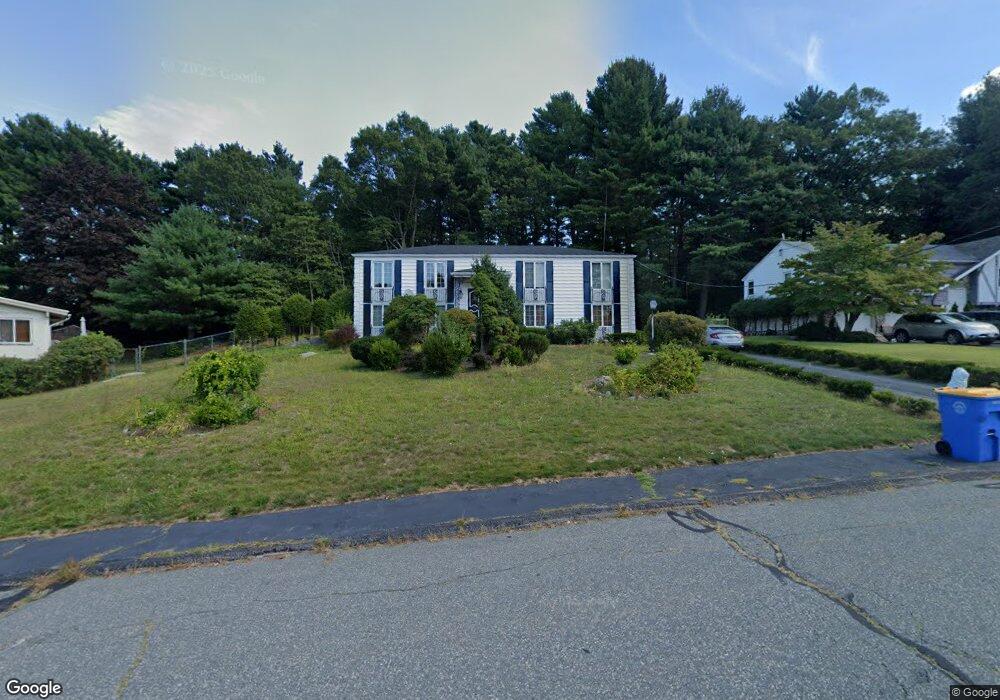
12 David Rd Randolph, MA 02368
North Randolph NeighborhoodEstimated Value: $611,000 - $695,420
3
Beds
3
Baths
1,616
Sq Ft
$409/Sq Ft
Est. Value
About This Home
This home is located at 12 David Rd, Randolph, MA 02368 and is currently estimated at $660,605, approximately $408 per square foot. 12 David Rd is a home located in Norfolk County with nearby schools including Randolph High School.
Create a Home Valuation Report for This Property
The Home Valuation Report is an in-depth analysis detailing your home's value as well as a comparison with similar homes in the area
Home Values in the Area
Average Home Value in this Area
Tax History
| Year | Tax Paid | Tax Assessment Tax Assessment Total Assessment is a certain percentage of the fair market value that is determined by local assessors to be the total taxable value of land and additions on the property. | Land | Improvement |
|---|---|---|---|---|
| 2025 | $7,277 | $626,800 | $275,100 | $351,700 |
| 2024 | $7,133 | $623,000 | $269,700 | $353,300 |
| 2023 | $6,759 | $559,500 | $245,200 | $314,300 |
| 2022 | $6,505 | $478,300 | $204,400 | $273,900 |
| 2021 | $6,280 | $424,900 | $170,400 | $254,500 |
| 2020 | $6,109 | $409,700 | $170,400 | $239,300 |
| 2019 | $6,014 | $401,500 | $162,200 | $239,300 |
| 2018 | $5,963 | $375,500 | $147,600 | $227,900 |
| 2017 | $5,825 | $360,000 | $134,600 | $225,400 |
| 2016 | $5,674 | $326,300 | $122,400 | $203,900 |
| 2015 | $5,738 | $317,000 | $116,700 | $200,300 |
Source: Public Records
Map
Nearby Homes
- 902 Irving Rd Unit 902
- 232 Canton St Unit 308
- 232 Canton St Unit 104
- 33 Michael Rd
- 10 Michael Rd
- 79 Gold St
- 195 High St
- 4 Franklin Square Unit 4F
- 140 York St
- 51 Himoor Cir
- 72 Canton St
- 26 Pauline St
- 43 Emily Jeffers Rd
- 23 Old St
- 9 Royal Crest Dr Unit 12
- 875 N Main St
- 20 Simmonds Blvd Unit 20
- 18 Simmonds Blvd Unit 18
- 8 Simmonds Blvd Unit 8
- 22 Simmonds Blvd Unit 22
Your Personal Tour Guide
Ask me questions while you tour the home.