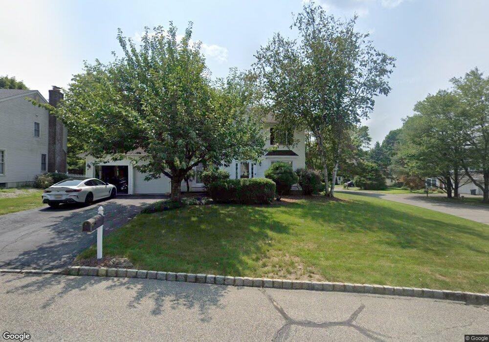
12 Deer Path Bloomsbury, NJ 08804
Estimated Value: $431,000 - $522,000
Studio
--
Bath
2,068
Sq Ft
$229/Sq Ft
Est. Value
About This Home
This home is located at 12 Deer Path, Bloomsbury, NJ 08804 and is currently estimated at $472,967, approximately $228 per square foot. 12 Deer Path is a home located in Hunterdon County with nearby schools including Bloomsbury Elementary School.
Ownership History
Date
Name
Owned For
Owner Type
Purchase Details
Closed on
Aug 29, 2005
Sold by
Santoro Alan G and Santoro Kristin B
Bought by
Santoro Alan G and Beford Santoro Kristin L
Current Estimated Value
Home Financials for this Owner
Home Financials are based on the most recent Mortgage that was taken out on this home.
Original Mortgage
$225,000
Interest Rate
5.69%
Mortgage Type
New Conventional
Purchase Details
Closed on
Mar 27, 1997
Sold by
Kuvalakis Pascal
Bought by
Santoro Alan G and Santoro Kristen B
Home Financials for this Owner
Home Financials are based on the most recent Mortgage that was taken out on this home.
Original Mortgage
$154,000
Interest Rate
7.55%
Purchase Details
Closed on
Feb 28, 1992
Sold by
Reddington 5
Bought by
Kuvalakis Pascal and Kuvalakis Alexandria J
Create a Home Valuation Report for This Property
The Home Valuation Report is an in-depth analysis detailing your home's value as well as a comparison with similar homes in the area
Home Values in the Area
Average Home Value in this Area
Purchase History
| Date | Buyer | Sale Price | Title Company |
|---|---|---|---|
| Santoro Alan G | -- | Professional Title Agency Ll | |
| Santoro Alan G | $192,000 | -- | |
| Kuvalakis Pascal | $174,900 | -- |
Source: Public Records
Mortgage History
| Date | Status | Borrower | Loan Amount |
|---|---|---|---|
| Closed | Santoro Alan G | $225,000 | |
| Closed | Santoro Alan G | $154,000 |
Source: Public Records
Tax History
| Year | Tax Paid | Tax Assessment Tax Assessment Total Assessment is a certain percentage of the fair market value that is determined by local assessors to be the total taxable value of land and additions on the property. | Land | Improvement |
|---|---|---|---|---|
| 2025 | $10,092 | $285,000 | $44,200 | $240,800 |
| 2024 | $9,664 | $285,000 | $44,200 | $240,800 |
Source: Public Records
Map
Nearby Homes
- 1 Woodland Terrace
- 36 Willow Ave
- 53 Brunswick Ave
- 63 Main St
- 51 Staats Rd
- 908 Maple Dr
- 0 New Jersey 173
- 202 Bradford Ln
- 101 Parker Rd
- 285 County Road 579
- 313 Greens Ridge Rd
- 716 Sweet Hollow Rd
- 3 Alexandria Overlook
- 0 Sweet Hollow Rd
- 4 Alpaugh Dr
- 13 Old Schoolhouse Rd
- 00 Rr 579
- 18 Bridle Path Dr
- 80-84 County Road 519
- 324 Tunnel Rd
- 4 Woodland Terrace
- 10 Deer Path
- 9 Deer Path
- 3 Woodland Terrace
- 8 Deer Path
- 8 Woodland Terrace
- 6 Woodland Terrace
- 11 Deer Path
- 5 Woodland Terrace
- 7 Deer Path
- 7 Woodland Terrace
- 10 Woodland Terrace
- 16 Fawn Run Bloomsbury Nj
- 16 Fawn Run
- 14 Fawn Run
- 6 Deer Path
- 9 Woodland Terrace
- 12 Woodland Terrace
- 18 Fawn Run
- 5 Deer Path
Your Personal Tour Guide
Ask me questions while you tour the home.