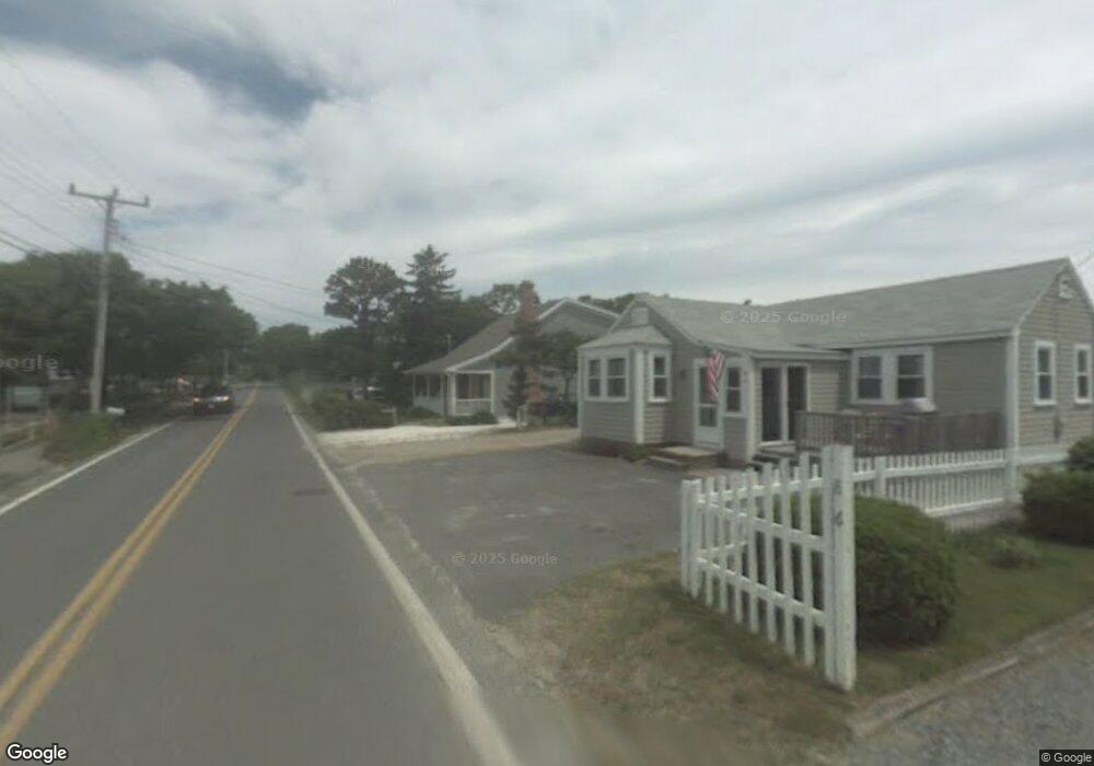
12 Depot St Dennis Port, MA 02639
Dennis Port NeighborhoodEstimated Value: $672,000 - $833,000
3
Beds
2
Baths
1,510
Sq Ft
$515/Sq Ft
Est. Value
About This Home
This home is located at 12 Depot St, Dennis Port, MA 02639 and is currently estimated at $777,275, approximately $514 per square foot. 12 Depot St is a home located in Barnstable County with nearby schools including Dennis-Yarmouth Regional High School and St. Pius X. School.
Ownership History
Date
Name
Owned For
Owner Type
Purchase Details
Closed on
Nov 21, 2006
Sold by
Bomely Charles A
Bought by
Bomely Charles A and Bomely Deborah L
Current Estimated Value
Home Financials for this Owner
Home Financials are based on the most recent Mortgage that was taken out on this home.
Original Mortgage
$260,000
Outstanding Balance
$154,030
Interest Rate
6.33%
Estimated Equity
$623,245
Create a Home Valuation Report for This Property
The Home Valuation Report is an in-depth analysis detailing your home's value as well as a comparison with similar homes in the area
Home Values in the Area
Average Home Value in this Area
Purchase History
| Date | Buyer | Sale Price | Title Company |
|---|---|---|---|
| Bomely Charles A | -- | -- | |
| Bomely Charles A | -- | -- | |
| Bomely Charles A | -- | -- |
Source: Public Records
Mortgage History
| Date | Status | Borrower | Loan Amount |
|---|---|---|---|
| Open | Bomely Charles A | $260,000 | |
| Closed | Bomely Charles A | $260,000 | |
| Previous Owner | Bomely Charles A | $80,000 |
Source: Public Records
Tax History Compared to Growth
Tax History
| Year | Tax Paid | Tax Assessment Tax Assessment Total Assessment is a certain percentage of the fair market value that is determined by local assessors to be the total taxable value of land and additions on the property. | Land | Improvement |
|---|---|---|---|---|
| 2025 | $3,044 | $703,100 | $299,900 | $403,200 |
| 2024 | $2,961 | $674,600 | $288,400 | $386,200 |
| 2023 | $2,865 | $613,400 | $262,200 | $351,200 |
| 2022 | $2,863 | $511,200 | $247,100 | $264,100 |
| 2021 | $2,835 | $470,100 | $242,300 | $227,800 |
| 2020 | $2,952 | $483,900 | $269,200 | $214,700 |
| 2019 | $4,211 | $456,600 | $263,900 | $192,700 |
| 2018 | $2,519 | $397,300 | $211,100 | $186,200 |
| 2017 | $3,902 | $397,300 | $211,100 | $186,200 |
| 2016 | $2,381 | $364,600 | $206,000 | $158,600 |
| 2015 | $2,333 | $364,600 | $206,000 | $158,600 |
| 2014 | $2,250 | $354,400 | $201,000 | $153,400 |
Source: Public Records
Map
Nearby Homes
- 11 Ocean Park W
- 9 Chase Ave Unit 6
- 405 Old Wharf Rd Unit B204
- 405 Old Wharf Rd Unit B204
- 402 Old Wharf Rd
- 402 Old Wharf Rd
- 102 Sea St
- 1 E Belmont Unit 630
- 26 Manning Rd
- 22 Ferncliff Rd
- 1 Belmont Rd Unit 630
- 1 Belmont Rd Unit 513
- 12 Cross St
- 37-A Beach Hills Rd
- 37 Beach Hills Rd
- 159 Center St Unit 22
- 262 Old Wharf Rd Unit 67
- 262 Old Wharf Rd Unit 5
- 262 Old Wharf Rd Unit 5
- 262 Old Wharf Rd Unit 20
- 10 Depot St Unit A&B
- 10 Depot St Unit 10
- 10 Depot St
- 14 Depot St
- 8 Depot St
- 6 Depot St
- 16 Depot St
- 67 Sunset Ln
- 63 Sunset Ln
- 9 Depot St
- 20 Depot St
- 4 Sunset Ln
- 10 Chase Ave
- 22 Depot St
- 6 Sunset Ln
- 11 Depot St
- 12 Ocean Park W Unit 5
- 420 Old Wharf Rd
- 0 Ocean Park W Unit 21 2005454
- 0 Ocean Park W Unit 30 2004681