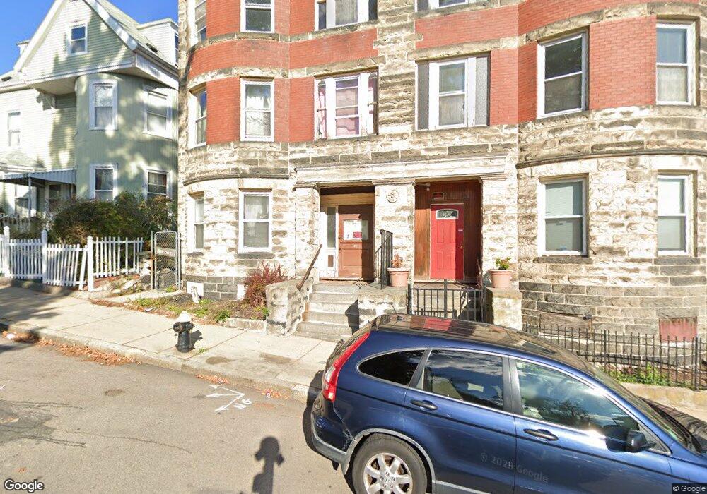
12 Devon St Dorchester, MA 02121
Sav-Mor NeighborhoodEstimated Value: $905,000 - $1,157,000
9
Beds
3
Baths
4,301
Sq Ft
$243/Sq Ft
Est. Value
About This Home
This home is located at 12 Devon St, Dorchester, MA 02121 and is currently estimated at $1,046,667, approximately $243 per square foot. 12 Devon St is a home located in Suffolk County with nearby schools including Bridge Boston Charter School, Mother Caroline Academy & Education Center, and Uncommon Schools Roxbury Prep Dorchester Campus.
Ownership History
Date
Name
Owned For
Owner Type
Purchase Details
Closed on
Oct 17, 2014
Sold by
Boston City Of
Bought by
Robinsons Investment I
Current Estimated Value
Home Financials for this Owner
Home Financials are based on the most recent Mortgage that was taken out on this home.
Original Mortgage
$385,000
Outstanding Balance
$295,050
Interest Rate
4.09%
Mortgage Type
Commercial
Estimated Equity
$751,617
Create a Home Valuation Report for This Property
The Home Valuation Report is an in-depth analysis detailing your home's value as well as a comparison with similar homes in the area
Home Values in the Area
Average Home Value in this Area
Purchase History
| Date | Buyer | Sale Price | Title Company |
|---|---|---|---|
| Robinsons Investment I | $249,900 | -- |
Source: Public Records
Mortgage History
| Date | Status | Borrower | Loan Amount |
|---|---|---|---|
| Open | Robinsons Investment I | $385,000 |
Source: Public Records
Tax History Compared to Growth
Tax History
| Year | Tax Paid | Tax Assessment Tax Assessment Total Assessment is a certain percentage of the fair market value that is determined by local assessors to be the total taxable value of land and additions on the property. | Land | Improvement |
|---|---|---|---|---|
| 2025 | $10,044 | $867,400 | $225,000 | $642,400 |
| 2024 | $8,853 | $812,200 | $225,800 | $586,400 |
| 2023 | $7,787 | $725,000 | $201,600 | $523,400 |
| 2022 | $7,370 | $677,400 | $188,300 | $489,100 |
| 2021 | $6,950 | $651,400 | $181,100 | $470,300 |
| 2020 | $6,307 | $597,300 | $178,700 | $418,600 |
| 2019 | $5,644 | $535,500 | $132,100 | $403,400 |
| 2018 | $5,343 | $509,800 | $132,100 | $377,700 |
| 2017 | $5,399 | $509,800 | $132,100 | $377,700 |
| 2016 | $4,880 | $443,600 | $132,100 | $311,500 |
| 2015 | $4,335 | $358,000 | $84,600 | $273,400 |
| 2014 | $4,022 | $319,700 | $84,600 | $235,100 |
Source: Public Records
Map
Nearby Homes
- 40 Devon St Unit 3
- 63 Normandy St
- 52 Intervale St
- 32 Hartwell St
- 36-38 Elm Hill Park
- 165 Stanwood St
- 47 Oldfields Rd Unit 2
- 103 Devon St
- 7 Waumbeck St Unit 3
- 8 Gannett St
- 164 Ruthven St Unit 1
- 495 Warren St
- 476 Warren St
- 4 Wyoming St Unit 2
- 16 Wabon St
- 472 Warren St
- 31 Nazing St Unit 2
- 136-138 Homestead St
- 51 Pasadena Rd
- 25 Hutchings St
- 14 Devon St
- 14 Devon St Unit 3
- 14 Devon St Unit 2
- 10 Devon St
- 55 Brunswick St
- 51 Brunswick St
- 51 Brunswick St Unit 2
- 9 Devon St Unit 11
- 5 Devon St
- 17 Devon St
- 411 Blue Hill Ave Unit 411
- 43 Brunswick St
- 578 Warren St
- 576 Warren St
- 576 Warren St Unit 2
- 580 Warren St
- 574 Warren St
- 27 Devon St
- 620 Warren St
- 2 Sunderland St