12 Doe Dr Columbia, NJ 07832
Estimated Value: $603,000 - $694,000
--
Bed
--
Bath
3,864
Sq Ft
$173/Sq Ft
Est. Value
About This Home
This home is located at 12 Doe Dr, Columbia, NJ 07832 and is currently estimated at $668,437, approximately $172 per square foot. 12 Doe Dr is a home located in Warren County with nearby schools including Blairstown Elementary School and North Warren Regional School.
Ownership History
Date
Name
Owned For
Owner Type
Purchase Details
Closed on
Oct 21, 2022
Sold by
Patricia L Tanis Irrevocable Asset Prote
Bought by
Tanis Patricia L
Current Estimated Value
Purchase Details
Closed on
Aug 24, 2017
Sold by
Tanis Patricia L and Tanis Patricia
Bought by
Tanis Kimberly L and Patricia L Tanis Irrevocable T
Purchase Details
Closed on
Jul 19, 2016
Sold by
Tanis Keith and Tanis Julie M
Bought by
Tanis Patricia
Purchase Details
Closed on
Sep 8, 2006
Sold by
Doe Drive Llc
Bought by
Tanis Patricia
Purchase Details
Closed on
May 2, 2006
Sold by
Tanis Patricia
Bought by
Doe Drive Llc
Purchase Details
Closed on
Feb 19, 2002
Sold by
Tanis Wayne C and Tanis Patricia
Bought by
Tanis Patricia
Create a Home Valuation Report for This Property
The Home Valuation Report is an in-depth analysis detailing your home's value as well as a comparison with similar homes in the area
Home Values in the Area
Average Home Value in this Area
Purchase History
| Date | Buyer | Sale Price | Title Company |
|---|---|---|---|
| Tanis Patricia L | -- | -- | |
| Tanis Kimberly L | -- | None Available | |
| Tanis Patricia | $295,000 | None Available | |
| Tanis Patricia | -- | None Available | |
| Doe Drive Llc | -- | None Available | |
| Tanis Patricia | -- | -- |
Source: Public Records
Tax History Compared to Growth
Tax History
| Year | Tax Paid | Tax Assessment Tax Assessment Total Assessment is a certain percentage of the fair market value that is determined by local assessors to be the total taxable value of land and additions on the property. | Land | Improvement |
|---|---|---|---|---|
| 2025 | $15,645 | $504,500 | $126,300 | $378,200 |
| 2024 | $14,540 | $504,500 | $126,300 | $378,200 |
| 2023 | $14,242 | $504,500 | $126,300 | $378,200 |
| 2022 | $14,242 | $504,500 | $126,300 | $378,200 |
| 2021 | $12,920 | $504,500 | $126,300 | $378,200 |
| 2020 | $12,471 | $504,500 | $126,300 | $378,200 |
| 2019 | $11,604 | $504,500 | $126,300 | $378,200 |
| 2018 | $11,604 | $504,500 | $126,300 | $378,200 |
| 2017 | $11,644 | $504,500 | $126,300 | $378,200 |
| 2016 | $11,684 | $504,500 | $126,300 | $378,200 |
| 2015 | $11,482 | $504,500 | $126,300 | $378,200 |
| 2014 | $11,260 | $504,500 | $126,300 | $378,200 |
Source: Public Records
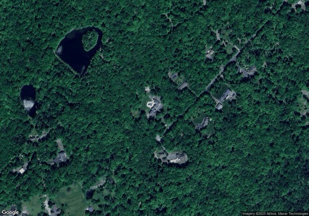
Map
Nearby Homes
- 65 Walnut Valley Rd
- 0 Mount Vernon Rd
- 94 Mount Vernon Rd
- 00 Walnut Valley Rd
- 6 Mountain Terrace
- 194 New Jersey 94
- 24 Stony Brook Rd
- 34 Stony Brook Rd
- 20 Polkville Rd
- 18 W Crisman Rd
- 0 Cedar Lake Rd Unit 3936605
- 20 Cobblewood Rd
- 7 Kishpaugh Rd
- 471 State Route 94
- 17 Bear Cave Rd
- 470 State Route 94 Unit 2
- 49 Mount Pleasant Rd
- 115 Route94
- 69 Mount Pleasant Rd
- 1 Four Corners Rd