12 Dunbar Rd Conway, AR 72032
Estimated payment $381/month
Highlights
- Lake Front
- River Nearby
- 1-Story Property
- Conway Junior High School Rated A-
- Community Lake
- Central Heating
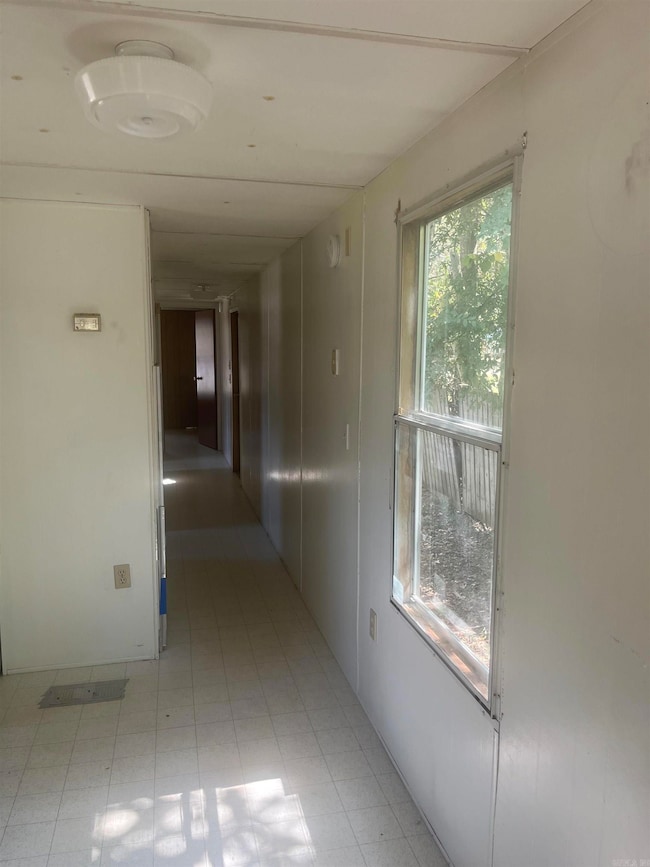
About This Home
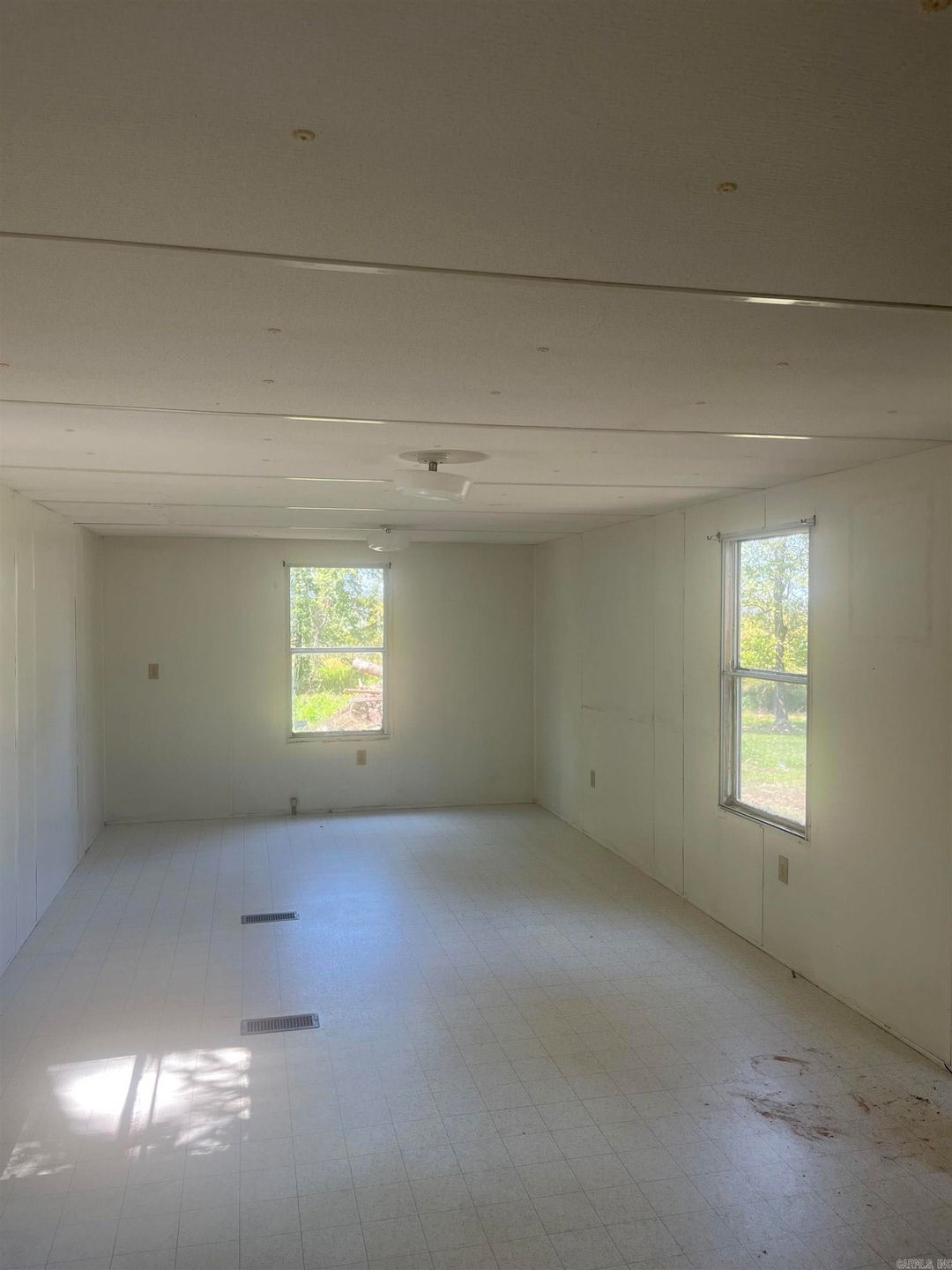
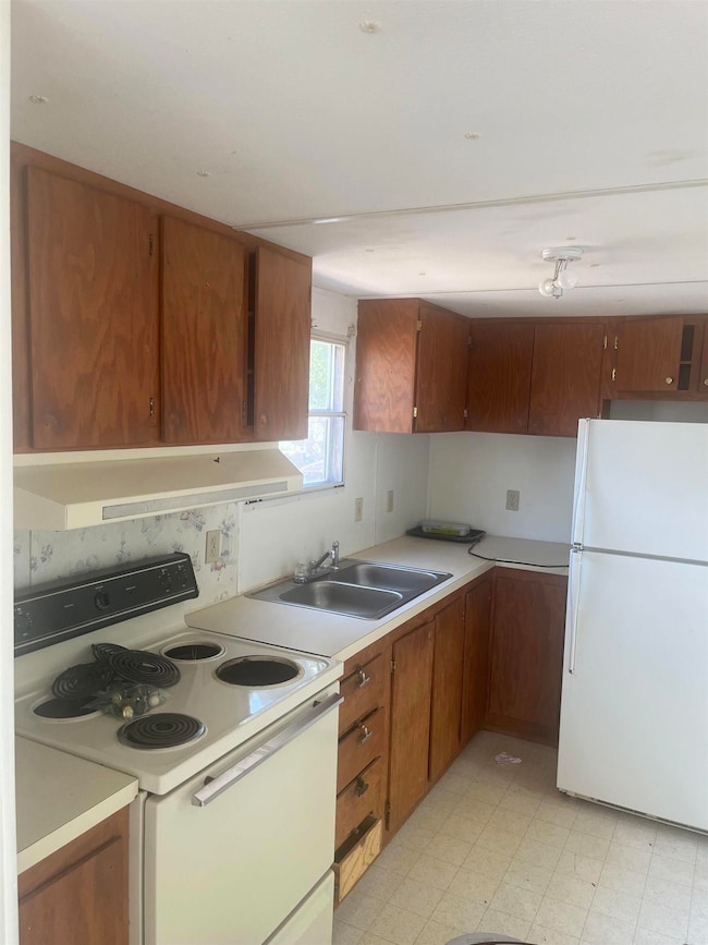
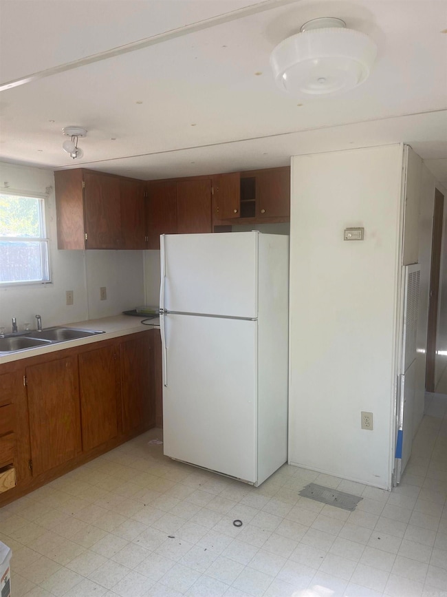
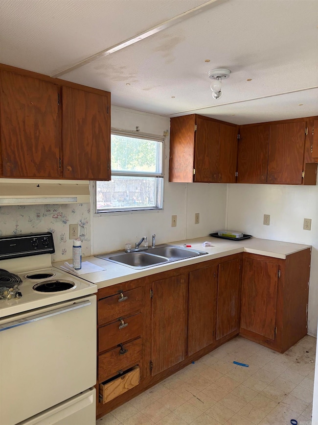
Don't miss this unique opportunity to own a lake lot with a two bedroom, one bath single wide mobile home !!! Located in a peaceful setting, this property is perfect for weekend getaways, full time living or as an investment. With the lake currently drained, now is the ideal time to build your dock or boathouse and customize your shoreline access before the water returns!! Seller is motivated and negotiable- bring your best offer!! Whether you're looking for a quiet escape or a place to launch your lake lifestyle, this property has incredible potential at a great price. New septic, new plumbing and a new power pole!!
Property Details
Home Type
- Manufactured Home
Est. Annual Taxes
- $200
Year Built
- Built in 1993
Lot Details
- 63 Sq Ft Lot
- Lake Front
- Level Lot
Parking
- 2 Car Garage
Home Design
- Not Permanent Foundation
- Metal Roof
- Metal Siding
Interior Spaces
- 720 Sq Ft Home
- 1-Story Property
- Combination Dining and Living Room
- Vinyl Flooring
- Lake Views
- Stove
- Washer and Electric Dryer Hookup
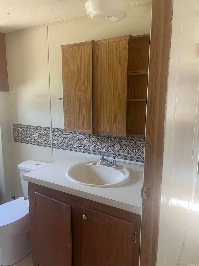
Bedrooms and Bathrooms
- 2 Bedrooms
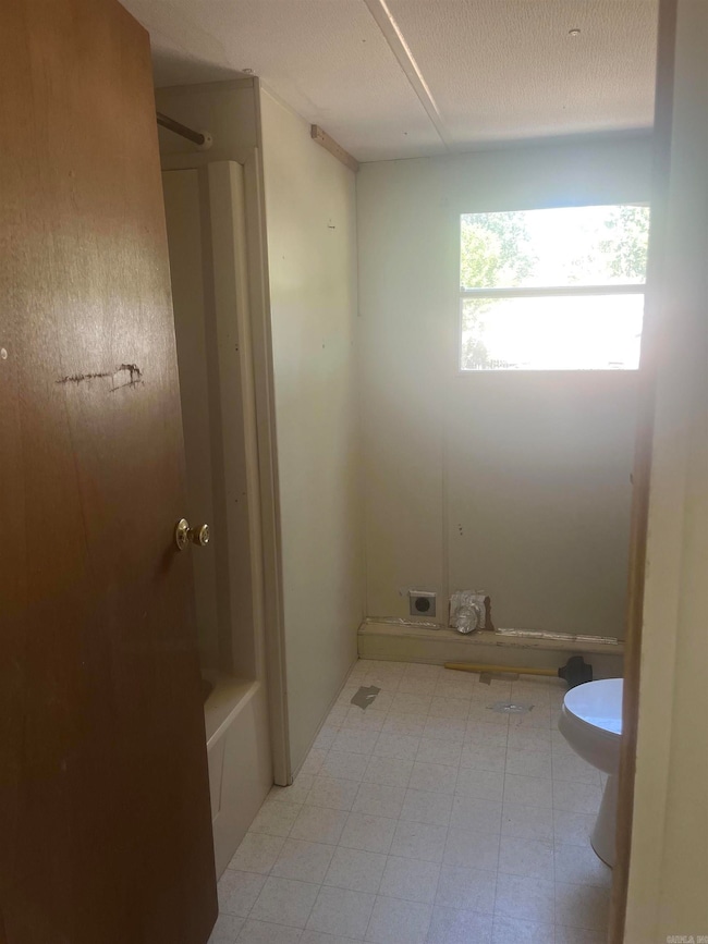
- 1 Full Bathroom
Utilities
- Central Heating
- Electric Water Heater
- Septic System
Additional Features
- River Nearby
- Manufactured Home
Community Details
- Community Lake
Listing and Financial Details
- Assessor Parcel Number 450-00004-000
Map
Home Values in the Area
Average Home Value in this Area
Tax History
| Year | Tax Paid | Tax Assessment Tax Assessment Total Assessment is a certain percentage of the fair market value that is determined by local assessors to be the total taxable value of land and additions on the property. | Land | Improvement |
|---|---|---|---|---|
| 2025 | $167 | $4,000 | $4,000 | -- |
| 2024 | $153 | $4,000 | $4,000 | $0 |
| 2023 | $139 | $3,000 | $3,000 | $0 |
| 2022 | $139 | $3,000 | $3,000 | $0 |
| 2021 | $139 | $3,000 | $3,000 | $0 |
| 2020 | $139 | $3,000 | $3,000 | $0 |
| 2019 | $139 | $3,000 | $3,000 | $0 |
| 2018 | $139 | $3,000 | $3,000 | $0 |
| 2017 | $139 | $3,000 | $3,000 | $0 |
| 2016 | $483 | $9,660 | $3,000 | $6,660 |
| 2015 | $434 | $9,360 | $2,400 | $6,960 |
| 2014 | $119 | $9,360 | $2,400 | $6,960 |
Property History
| Date | Event | Price | List to Sale | Price per Sq Ft |
|---|---|---|---|---|
| 11/22/2025 11/22/25 | Price Changed | $68,900 | -11.0% | $96 / Sq Ft |
| 11/07/2025 11/07/25 | Price Changed | $77,400 | -8.8% | $108 / Sq Ft |
| 10/27/2025 10/27/25 | For Sale | $84,900 | -- | $118 / Sq Ft |
Purchase History
| Date | Type | Sale Price | Title Company |
|---|---|---|---|
| Warranty Deed | $3,500 | American Abstract & Title Co | |
| Commissioners Deed | $30,400 | None Available | |
| Quit Claim Deed | -- | -- | |
| Quit Claim Deed | -- | None Available | |
| Quit Claim Deed | -- | -- | |
| Deed | $13,000 | -- | |
| Deed | -- | -- |
Source: Cooperative Arkansas REALTORS® MLS
MLS Number: 25042941
APN: 450-00004-000
Disclaimer: Certain information contained herein is derived from information provided by parties other than Homes.com. All information provided is deemed reliable, but is not guaranteed to be accurate and should be independently verified.
![]() IDX information is provided exclusively for personal, non-commercial use, and may not be used for any purpose other than to identify prospective properties consumers may be interested in purchasing.
IDX information is provided exclusively for personal, non-commercial use, and may not be used for any purpose other than to identify prospective properties consumers may be interested in purchasing.
- 256 Caney Creek Rd
- 24 Sierra Dr
- 000 Bream Nest Rd
- lot 7 Shady Point Dr
- 43 Lawrence Landing Rd
- 25 Fred Ln
- 98 Waterfront Cove
- 00 Kaps Landing Rd
- 38 Windwood Loop
- 23 Northlake Dr Unit N0RTH
- 171 Waterfront Cove
- 114 Lawrence Landing Rd
- 44 Sinai Rd
- 000 Fuller Rd
- 260 Sturgis Rd
- 380 Sturgis Rd
- 2 Pine St
- 6 Round Mountain Rd
- 5 Round Mountain Rd
- 1 Jessilea Rd
- 1320 Lewis Rd
- 1200 Covington Way
- 1420 Pyramid Dr
- 955 S German Ln
- 100 Bill Hegemen Blvd
- 300 Bruce St
- 1025 S Donaghey Ave
- 320-330 Griffith St
- 199-B S Center St
- 525 3rd Ave
- 835 S Donaghey Ave
- 2215 Dave Ward Dr
- 401 2nd St
- 1295 E German Ln
- 375 Monroe St
- 105 Mitchell St
- 300 S Donaghey Ave
- 1425 Ola St
- 1705 S Salem Rd
- 831 Nutters Chapel Rd
