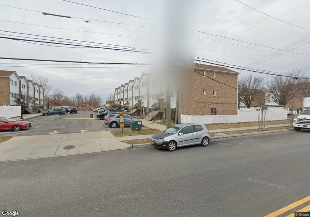
12 Dune Ct Bronx, NY 10473
Clason Point NeighborhoodEstimated Value: $759,703 - $993,000
Studio
--
Bath
2,380
Sq Ft
$360/Sq Ft
Est. Value
About This Home
This home is located at 12 Dune Ct, Bronx, NY 10473 and is currently estimated at $856,926, approximately $360 per square foot. 12 Dune Ct is a home located in Bronx County with nearby schools including P.S. 069 Journey Prep School - X069 and Holy Cross Elementary School.
Ownership History
Date
Name
Owned For
Owner Type
Purchase Details
Closed on
Feb 22, 2013
Sold by
Garcia Martha and Mancuso Salvatore
Bought by
Garcia Martha and Mancuso Martha
Current Estimated Value
Purchase Details
Closed on
Feb 2, 2004
Sold by
Beechwood Rb Shorehaven Llc
Bought by
Garcia Martha and Mancuso Salvatore
Home Financials for this Owner
Home Financials are based on the most recent Mortgage that was taken out on this home.
Original Mortgage
$151,800
Interest Rate
5.75%
Mortgage Type
Purchase Money Mortgage
Create a Home Valuation Report for This Property
The Home Valuation Report is an in-depth analysis detailing your home's value as well as a comparison with similar homes in the area
Home Values in the Area
Average Home Value in this Area
Purchase History
| Date | Buyer | Sale Price | Title Company |
|---|---|---|---|
| Garcia Martha | $210,500 | -- | |
| Garcia Martha | $369,000 | -- |
Source: Public Records
Mortgage History
| Date | Status | Borrower | Loan Amount |
|---|---|---|---|
| Previous Owner | Garcia Martha | $151,800 |
Source: Public Records
Tax History
| Year | Tax Paid | Tax Assessment Tax Assessment Total Assessment is a certain percentage of the fair market value that is determined by local assessors to be the total taxable value of land and additions on the property. | Land | Improvement |
|---|---|---|---|---|
| 2025 | $7,523 | $37,740 | $5,946 | $31,794 |
| 2024 | $7,523 | $37,454 | $5,601 | $31,853 |
| 2023 | $7,176 | $35,335 | $6,108 | $29,227 |
| 2022 | $6,655 | $46,680 | $8,640 | $38,040 |
| 2021 | $6,619 | $42,060 | $8,640 | $33,420 |
| 2020 | $6,657 | $40,500 | $8,640 | $31,860 |
| 2019 | $6,529 | $36,180 | $8,640 | $27,540 |
| 2018 | $6,003 | $29,446 | $7,911 | $21,535 |
| 2017 | $5,663 | $27,780 | $7,859 | $19,921 |
| 2016 | $5,239 | $26,208 | $8,349 | $17,859 |
| 2015 | $3,161 | $26,208 | $9,596 | $16,612 |
| 2014 | $3,161 | $26,011 | $9,373 | $16,638 |
Source: Public Records
Map
Nearby Homes
- 203 White Plains Rd
- 126 Mermaid Ln Unit 174
- 246 Soundview Ave
- 106 Bolton Ave
- 252 Soundview Ave
- 1329 Harding Park
- 1540 Harding Park
- 227 Stephens Ave
- 160 Stephens Ave
- 122 Stephens Ave
- 256 Leland Ave
- 230 Fleet Ct Unit 16230
- 233 Sunset Blvd Unit 9233F
- 109 Fleet Ct
- 321 Newman Ave
- 100 Neptune Ln Unit 15100
- 127 Husson Ave
- 132 Sunset Blvd Unit 11132
- 325 Underhill Ave
- 332 Underhill Ave
- 13 Dune Ct
- 11 Dune Ct
- 10 Dune Ct
- 14 Dune Ct
- 9 Dune Ct Unit 2
- 9 Dune Ct
- 8 Dune Ct
- 8 Dune Ct Unit 2
- 7 Dune Ct
- 6 Dune Ct
- 137 White Plains Rd
- 201 Soundview Ave
- 135 White Plains Rd
- 135 White Plains Rd Unit 2
- 1909 Gildersleeve Ave
- 1 Dune Ct
- 2 Dune Ct
- 1907 Gildersleeve Ave
- 205 White Plains Rd
- 133 White Plains Rd
Your Personal Tour Guide
Ask me questions while you tour the home.