Estimated Value: $743,240 - $797,000
3
Beds
2
Baths
1,658
Sq Ft
$468/Sq Ft
Est. Value
About This Home
This home is located at 12 Durkee Rd, Acton, MA 01720 and is currently estimated at $775,810, approximately $467 per square foot. 12 Durkee Rd is a home located in Middlesex County with nearby schools including Acton-Boxborough Regional High School, Maynard Knowledge Beginnings, and The Imago School.
Ownership History
Date
Name
Owned For
Owner Type
Purchase Details
Closed on
Oct 24, 2016
Sold by
Carroll Robert W and Carroll Leslie M
Bought by
Carroll Leslie M
Current Estimated Value
Home Financials for this Owner
Home Financials are based on the most recent Mortgage that was taken out on this home.
Original Mortgage
$355,000
Outstanding Balance
$284,418
Interest Rate
3.44%
Mortgage Type
New Conventional
Estimated Equity
$491,392
Purchase Details
Closed on
Aug 23, 2005
Sold by
Mirra Catherine C and Mirra Robert E
Bought by
Carroll Leslie M and Carroll Robert W
Home Financials for this Owner
Home Financials are based on the most recent Mortgage that was taken out on this home.
Original Mortgage
$390,000
Interest Rate
5.66%
Mortgage Type
Purchase Money Mortgage
Purchase Details
Closed on
Aug 27, 1991
Sold by
Halter Mark A and Halter Susan K
Bought by
Mirra Robert E and Mirra Catherine C
Create a Home Valuation Report for This Property
The Home Valuation Report is an in-depth analysis detailing your home's value as well as a comparison with similar homes in the area
Home Values in the Area
Average Home Value in this Area
Purchase History
| Date | Buyer | Sale Price | Title Company |
|---|---|---|---|
| Carroll Leslie M | -- | -- | |
| Carroll Leslie M | $500,000 | -- | |
| Mirra Robert E | $197,500 | -- |
Source: Public Records
Mortgage History
| Date | Status | Borrower | Loan Amount |
|---|---|---|---|
| Open | Carroll Leslie M | $355,000 | |
| Previous Owner | Carroll Leslie M | $390,000 | |
| Previous Owner | Mirra Robert E | $50,000 | |
| Previous Owner | Mirra Robert E | $50,000 | |
| Previous Owner | Mirra Robert E | $151,300 | |
| Previous Owner | Mirra Robert E | $157,000 |
Source: Public Records
Tax History Compared to Growth
Tax History
| Year | Tax Paid | Tax Assessment Tax Assessment Total Assessment is a certain percentage of the fair market value that is determined by local assessors to be the total taxable value of land and additions on the property. | Land | Improvement |
|---|---|---|---|---|
| 2025 | $11,082 | $646,200 | $300,600 | $345,600 |
| 2024 | $10,404 | $624,100 | $300,600 | $323,500 |
| 2023 | $9,556 | $544,200 | $273,300 | $270,900 |
| 2022 | $9,064 | $466,000 | $237,600 | $228,400 |
| 2021 | $8,822 | $436,100 | $219,800 | $216,300 |
| 2020 | $8,333 | $433,100 | $219,800 | $213,300 |
| 2019 | $7,982 | $412,100 | $219,800 | $192,300 |
| 2018 | $7,634 | $393,900 | $219,800 | $174,100 |
| 2017 | $7,454 | $391,100 | $219,800 | $171,300 |
| 2016 | $7,355 | $382,500 | $219,800 | $162,700 |
| 2015 | $7,247 | $380,400 | $219,800 | $160,600 |
| 2014 | $7,093 | $364,700 | $219,800 | $144,900 |
Source: Public Records
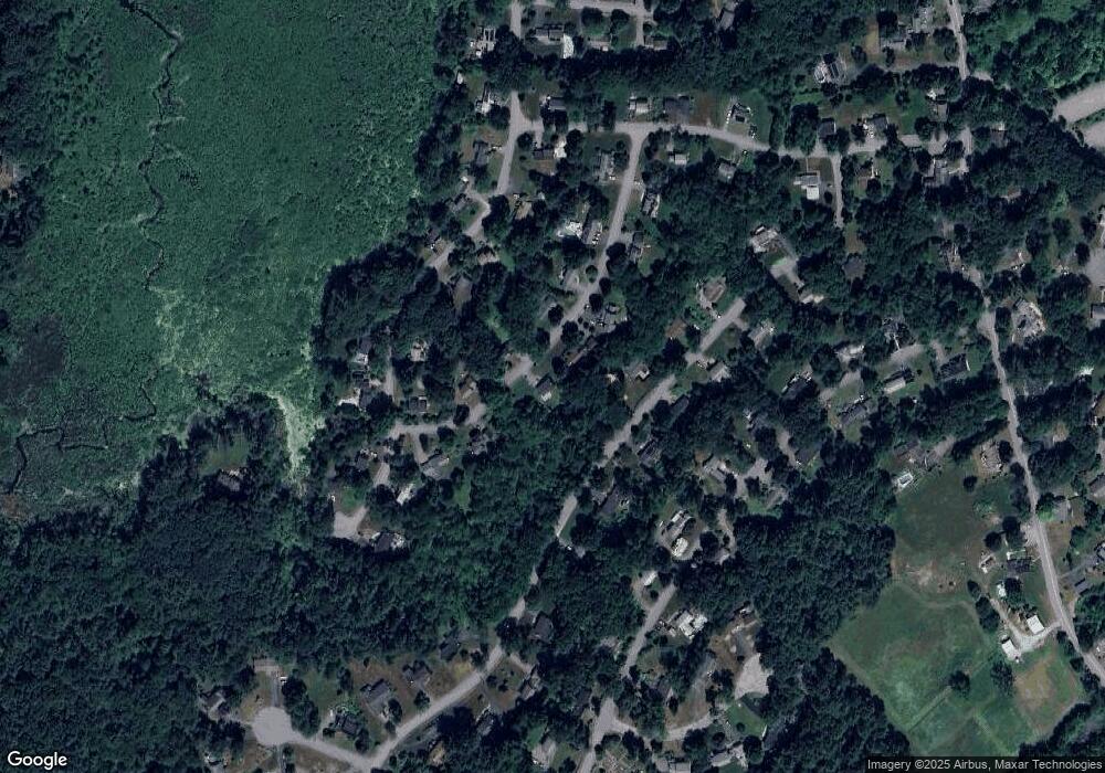
Map
Nearby Homes
- 246 Main St Unit 2
- 4,7,8 Crestwood Ln
- 7 Kelley Rd
- 116 Windsor Ave
- 285 Central St Unit 285
- 19 Railroad St Unit D2
- 19 Railroad St Unit C2
- 131 Main St
- 129 Main St Unit 129
- 90 Willow St Unit 1
- 92 Willow St Unit 3
- 92 Willow St Unit 2
- 5 Elm St Unit 1
- 40 High St
- 70 River St
- 71 Liberty St
- 46 Taylor Rd
- 11 Braebrook
- 4 Huron Rd
- 128 Parker St Unit 3B