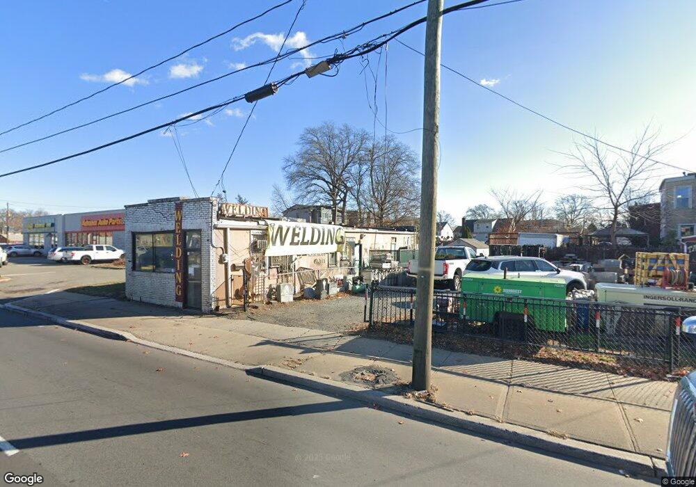
12 E Edgar Rd Linden, NJ 07036
Estimated Value: $553,000
Studio
--
Bath
11,773
Sq Ft
$47/Sq Ft
Est. Value
About This Home
This home is located at 12 E Edgar Rd, Linden, NJ 07036 and is currently estimated at $553,000, approximately $46 per square foot. 12 E Edgar Rd is a home located in Union County with nearby schools including School No. 2, Myles J. McManus Middle School, and Linden High School.
Ownership History
Date
Name
Owned For
Owner Type
Purchase Details
Closed on
Sep 20, 2012
Sold by
Kimstrauss 184 Inc
Bought by
Lenden Retail Owners Llc
Current Estimated Value
Home Financials for this Owner
Home Financials are based on the most recent Mortgage that was taken out on this home.
Original Mortgage
$3,225,000
Outstanding Balance
$2,231,567
Interest Rate
3.57%
Mortgage Type
Future Advance Clause Open End Mortgage
Estimated Equity
-$1,678,567
Purchase Details
Closed on
Dec 23, 2002
Sold by
Murphy Arlene
Bought by
Kimstrauss 184 Inc
Create a Home Valuation Report for This Property
The Home Valuation Report is an in-depth analysis detailing your home's value as well as a comparison with similar homes in the area
Home Values in the Area
Average Home Value in this Area
Purchase History
| Date | Buyer | Sale Price | Title Company |
|---|---|---|---|
| Lenden Retail Owners Llc | $4,300,000 | Madison Title Agency Llc | |
| Kimstrauss 184 Inc | $1,200,000 | -- |
Source: Public Records
Mortgage History
| Date | Status | Borrower | Loan Amount |
|---|---|---|---|
| Open | Lenden Retail Owners Llc | $3,225,000 |
Source: Public Records
Tax History
| Year | Tax Paid | Tax Assessment Tax Assessment Total Assessment is a certain percentage of the fair market value that is determined by local assessors to be the total taxable value of land and additions on the property. | Land | Improvement |
|---|---|---|---|---|
| 2025 | $5,063 | $72,000 | $72,000 | -- |
| 2024 | $4,952 | $72,000 | $72,000 | $0 |
| 2023 | $4,952 | $72,000 | $72,000 | $0 |
| 2022 | $4,978 | $72,000 | $72,000 | $0 |
| 2021 | $5,003 | $72,000 | $72,000 | $0 |
| 2020 | $4,977 | $72,000 | $72,000 | $0 |
| 2019 | $4,960 | $72,000 | $72,000 | $0 |
| 2018 | $4,959 | $72,000 | $72,000 | $0 |
| 2017 | $4,851 | $72,000 | $72,000 | $0 |
| 2016 | $4,699 | $72,000 | $72,000 | $0 |
| 2015 | $4,519 | $72,000 | $72,000 | $0 |
| 2014 | $4,432 | $72,000 | $72,000 | $0 |
Source: Public Records
Map
Nearby Homes
- 111 E 10th St
- 135 Liberty St
- 11 W 12th St
- 46 W 12th St
- 112 E 12th St
- 119 E 13th St
- 317 Mitchell Ave
- 300 Kennedy Dr
- 12 Belmont Place
- 116 W 17th St Unit 2
- 1713 S Wood Ave Unit 2
- 212 W Morris Ave
- 108 W 18th St
- 226 Pennsylvania Railroad Ave
- 1930 S Wood Ave
- 10 N Wood Ave Unit 406
- 10 N Wood Ave Unit 717
- 120 S Stiles St
- 111 Todd Place
- 208 E Price St
- 24 E Edgar Rd
- 915 S Wood Ave
- 11 E 10th St
- 905 S Wood Ave
- 15 E 10th St
- 19 E 10th St
- 21 E 10th St
- 927 S Wood Ave
- 912 Clinton St
- 48 E Edgar Rd
- 25 E 10th St
- 25 E 10th St Unit C
- 25 E 10th St Unit D
- 25 E 10th St Unit A
- 25 E 10th St Unit B
- 913 S Wood Ave Unit 2
- 913 S Wood Ave
- 914 Clinton St
- 31 E 10th St
- 918 Clinton St
Your Personal Tour Guide
Ask me questions while you tour the home.