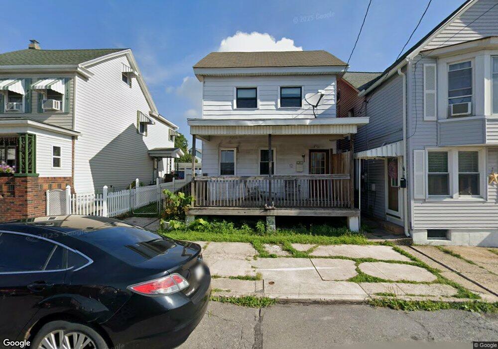
12 E Hazard St Summit Hill, PA 18250
Estimated Value: $80,000 - $135,000
3
Beds
1
Bath
1,440
Sq Ft
$73/Sq Ft
Est. Value
About This Home
This home is located at 12 E Hazard St, Summit Hill, PA 18250 and is currently estimated at $104,730, approximately $72 per square foot. 12 E Hazard St is a home located in Carbon County with nearby schools including Panther Valley Intermediate School, Panther Valley Elementary School, and Panther Valley Junior/Senior High School.
Ownership History
Date
Name
Owned For
Owner Type
Purchase Details
Closed on
Jan 19, 2024
Sold by
Neast Matthew
Bought by
Gimbor Amanda
Current Estimated Value
Home Financials for this Owner
Home Financials are based on the most recent Mortgage that was taken out on this home.
Original Mortgage
$20,000
Outstanding Balance
$14,095
Interest Rate
7.03%
Mortgage Type
Seller Take Back
Estimated Equity
$90,635
Purchase Details
Closed on
Mar 6, 2009
Sold by
Deutsche Bank National Trust Company
Bought by
Neast Matthew
Purchase Details
Closed on
Jul 21, 2008
Sold by
Judd Stanley S
Bought by
Deutsche Bank National Trust Co
Create a Home Valuation Report for This Property
The Home Valuation Report is an in-depth analysis detailing your home's value as well as a comparison with similar homes in the area
Home Values in the Area
Average Home Value in this Area
Purchase History
| Date | Buyer | Sale Price | Title Company |
|---|---|---|---|
| Gimbor Amanda | $35,000 | Paramount Abstract | |
| Neast Matthew | $15,000 | None Available | |
| Deutsche Bank National Trust Co | $30,924 | None Available |
Source: Public Records
Mortgage History
| Date | Status | Borrower | Loan Amount |
|---|---|---|---|
| Open | Gimbor Amanda | $20,000 |
Source: Public Records
Tax History
| Year | Tax Paid | Tax Assessment Tax Assessment Total Assessment is a certain percentage of the fair market value that is determined by local assessors to be the total taxable value of land and additions on the property. | Land | Improvement |
|---|---|---|---|---|
| 2025 | $2,136 | $22,500 | $5,650 | $16,850 |
| 2024 | $2,178 | $22,500 | $5,650 | $16,850 |
| 2023 | $2,144 | $22,500 | $5,650 | $16,850 |
| 2022 | $2,164 | $22,500 | $5,650 | $16,850 |
| 2021 | $2,164 | $22,500 | $5,650 | $16,850 |
| 2020 | $2,147 | $22,500 | $5,650 | $16,850 |
| 2019 | $1,992 | $22,500 | $5,650 | $16,850 |
| 2018 | $1,958 | $22,500 | $5,650 | $16,850 |
| 2017 | $1,936 | $22,500 | $5,650 | $16,850 |
| 2016 | -- | $22,500 | $5,650 | $16,850 |
| 2015 | -- | $22,500 | $5,650 | $16,850 |
| 2014 | -- | $22,500 | $5,650 | $16,850 |
Source: Public Records
Map
Nearby Homes
- 24 W Fell St
- 239 E Hazard St
- 103 E Amidon St
- 310 E Ludlow St
- 415 W White St
- 260 E Abbott St
- 253 E Abbott St
- 601 E Bertsch St
- 301 E Bertsch St
- 265-267 E Bertsch St
- 627 E Patterson St
- 421 E Patterson St
- 212 E Kline Ave
- 239 E Patterson St
- 308 E Snyder Ave
- 221 E Patterson St
- 624 E Front St
- 231-233 E Ridge St
- 217 E Ridge St
- 215 E Ridge St
- 16 E Hazard St
- 6 E Hazard St
- 18 E Hazard St
- 20 E Hazard St
- 24 E Hazard St
- 225 N Chestnut St
- 28 E Hazard St
- E Hazard St
- 131 N Chestnut St
- 21 E Hazard St
- 13 E Fell St
- 15 E Fell St
- 30 E Hazard St
- 17 E Fell St
- 129 N Chestnut St
- 19 E Fell St
- 23 E Fell St
- 227 N Chestnut St
- 34 E Hazard St
- 127 N Chestnut St
Your Personal Tour Guide
Ask me questions while you tour the home.