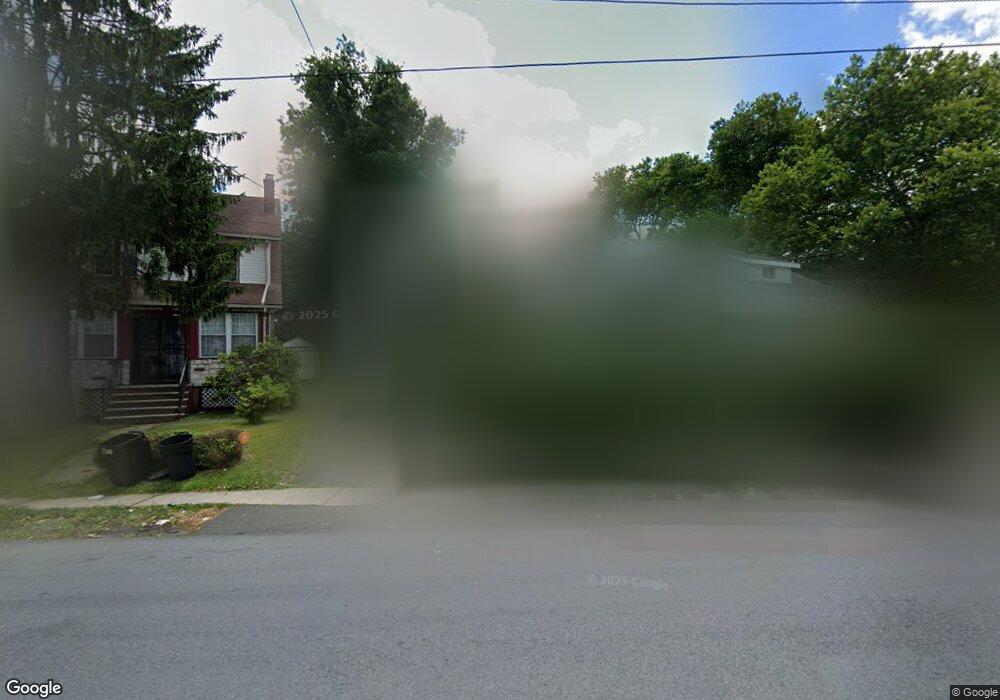
12 E Kingsbridge Rd Mount Vernon, NY 10550
Estimated Value: $503,460 - $683,000
Studio
--
Bath
--
Sq Ft
3,485
Sq Ft Lot
About This Home
This home is located at 12 E Kingsbridge Rd, Mount Vernon, NY 10550 and is currently estimated at $571,865. 12 E Kingsbridge Rd is a home located in Westchester County with nearby schools including Rebecca Turner Elementary School, Benjamin Turner Middle School, and Mount Vernon High School.
Ownership History
Date
Name
Owned For
Owner Type
Purchase Details
Closed on
Aug 26, 2002
Sold by
Hodge Raphael
Bought by
Simmons Christopher and Paul Simmons Angella
Current Estimated Value
Home Financials for this Owner
Home Financials are based on the most recent Mortgage that was taken out on this home.
Original Mortgage
$223,250
Interest Rate
6.18%
Mortgage Type
Purchase Money Mortgage
Create a Home Valuation Report for This Property
The Home Valuation Report is an in-depth analysis detailing your home's value as well as a comparison with similar homes in the area
Home Values in the Area
Average Home Value in this Area
Purchase History
| Date | Buyer | Sale Price | Title Company |
|---|---|---|---|
| Simmons Christopher | $235,000 | The Judicial Title Ins Agenc |
Source: Public Records
Mortgage History
| Date | Status | Borrower | Loan Amount |
|---|---|---|---|
| Previous Owner | Simmons Christopher | $223,250 |
Source: Public Records
Tax History
| Year | Tax Paid | Tax Assessment Tax Assessment Total Assessment is a certain percentage of the fair market value that is determined by local assessors to be the total taxable value of land and additions on the property. | Land | Improvement |
|---|---|---|---|---|
| 2024 | $7,615 | $5,500 | $1,600 | $3,900 |
| 2023 | $5,428 | $5,500 | $1,600 | $3,900 |
| 2022 | $6,924 | $5,500 | $1,600 | $3,900 |
| 2021 | $8,515 | $5,500 | $1,600 | $3,900 |
| 2020 | $5,989 | $5,500 | $1,600 | $3,900 |
| 2019 | $8,010 | $5,500 | $1,600 | $3,900 |
| 2018 | $3,573 | $5,500 | $1,600 | $3,900 |
| 2017 | $0 | $5,500 | $1,600 | $3,900 |
| 2016 | $7,834 | $5,500 | $1,600 | $3,900 |
| 2015 | -- | $5,500 | $1,600 | $3,900 |
| 2014 | -- | $5,500 | $1,600 | $3,900 |
| 2013 | -- | $5,500 | $1,600 | $3,900 |
Source: Public Records
Map
Nearby Homes
- 62 Washington Blvd
- 4048 Harper Ave
- 3946 Secor Ave
- 4040 Pratt Ave
- 15 Washington Blvd
- 15 Saint Pauls Place
- 10 Pratt Ave
- 724 S 4th Ave
- 75 W Kingsbridge Rd
- 639 S 5th Ave
- 3964 Duryea Ave
- 3968 Duryea Ave
- 1461 E 233rd St
- 3919 Pratt Ave
- 3924 Duryea Ave
- 29 Bell Ave
- 3963 Duryea Ave
- 605 S 6th Ave
- 3735 Rombouts Ave
- 2110 Light St
- 8 E Kingsbridge Rd
- 14 E Kingsbridge Rd
- 787 S 5th Ave
- 18 E Kingsbridge Rd
- 789 S 5th Ave
- 4038 Dyre Ave
- 8 Irving Place
- 4041 Rombouts Ave
- 4034 Dyre Ave
- 11 E Kingsbridge Rd
- 12 Irving Place
- 770 S 5th Ave
- 5 W Kingsbridge Rd
- 7 E Kingsbridge Rd
- 5 E Kingsbridge Rd
- 780 S 5th Ave
- 778 S 5th Ave
- 4039 Rombouts Ave
- 774 S 5th Ave
- 3 Irving Place
Your Personal Tour Guide
Ask me questions while you tour the home.