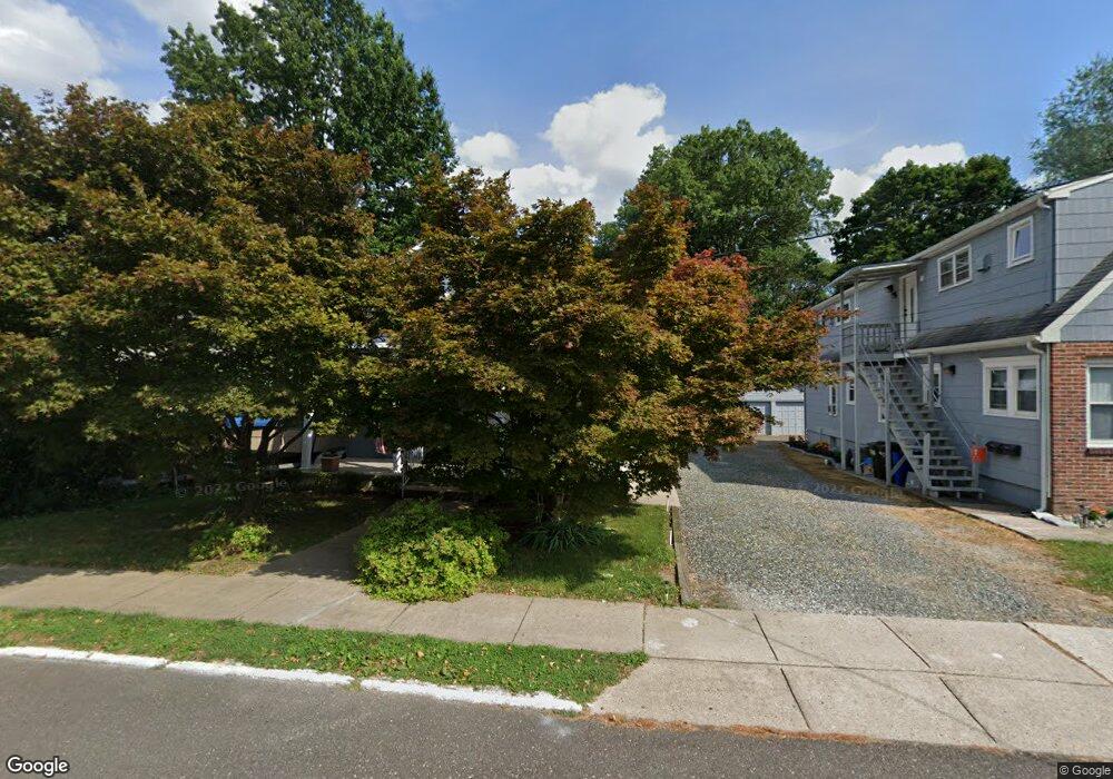
12 E Nicholson Rd Audubon, NJ 08106
Estimated Value: $298,000 - $374,000
Studio
--
Bath
988
Sq Ft
$350/Sq Ft
Est. Value
About This Home
This home is located at 12 E Nicholson Rd, Audubon, NJ 08106 and is currently estimated at $345,810, approximately $350 per square foot. 12 E Nicholson Rd is a home located in Camden County with nearby schools including Haviland Avenue School, Mansion Avenue School, and Audubon Junior/Senior High School.
Ownership History
Date
Name
Owned For
Owner Type
Purchase Details
Closed on
May 29, 2002
Sold by
Connor Michael F
Bought by
Mennig William
Current Estimated Value
Home Financials for this Owner
Home Financials are based on the most recent Mortgage that was taken out on this home.
Original Mortgage
$84,000
Interest Rate
6.79%
Mortgage Type
Purchase Money Mortgage
Create a Home Valuation Report for This Property
The Home Valuation Report is an in-depth analysis detailing your home's value as well as a comparison with similar homes in the area
Home Values in the Area
Average Home Value in this Area
Purchase History
| Date | Buyer | Sale Price | Title Company |
|---|---|---|---|
| Mennig William | $105,000 | -- |
Source: Public Records
Mortgage History
| Date | Status | Borrower | Loan Amount |
|---|---|---|---|
| Previous Owner | Mennig William | $84,000 |
Source: Public Records
Tax History
| Year | Tax Paid | Tax Assessment Tax Assessment Total Assessment is a certain percentage of the fair market value that is determined by local assessors to be the total taxable value of land and additions on the property. | Land | Improvement |
|---|---|---|---|---|
| 2025 | $7,129 | $176,600 | $80,800 | $95,800 |
| 2024 | $6,893 | $176,600 | $80,800 | $95,800 |
| 2023 | $6,893 | $176,600 | $80,800 | $95,800 |
| 2022 | $6,709 | $176,600 | $80,800 | $95,800 |
| 2021 | $5,965 | $176,600 | $80,800 | $95,800 |
| 2020 | $6,368 | $176,600 | $80,800 | $95,800 |
| 2019 | $6,283 | $176,600 | $80,800 | $95,800 |
| 2018 | $6,206 | $176,600 | $80,800 | $95,800 |
| 2017 | $6,077 | $176,600 | $80,800 | $95,800 |
| 2016 | $5,918 | $176,600 | $80,800 | $95,800 |
| 2015 | $5,725 | $176,600 | $80,800 | $95,800 |
| 2014 | $5,671 | $176,600 | $80,800 | $95,800 |
Source: Public Records
Map
Nearby Homes
- 12 S Haviland Ave
- 11 W Cedar Ave
- 102 E Park Ave
- 112 W Merchant St
- 2 Creston Ave
- 120 E Ormond Ave
- 229 S Lecato Ave
- 111 E Oakland Ave
- 16 W Greenwood Ave
- 28 W Greenwood Ave
- 902 Maple Ave
- 231 Virginia Ave
- 609 White Horse Pike
- 63 Central Ave
- 318 Walnut Ave
- 127 Manor Ave
- 167 Kendall Blvd
- 29 Payson Ave
- 133 Lafayette Rd
- 120 Cedarcroft Ave
- 8 E Nicholson Rd
- 18 N Lecato Ave
- 22 N Lecato Ave
- 4 E Nicholson Rd
- 14 N Lecato Ave
- 8 N Lecato Ave
- 27 E Nicholson Rd
- 27 N White Horse Pike
- 27 N White Horse Pike Unit 2
- 27 N White Horse Pike Unit 1
- 30 N Lecato Ave Unit 1ST FL
- 30 N Lecato Ave
- 30 N Lecato Ave Unit 2ND FL
- 31 N White Horse Pike
- 34 N Lecato Ave
- 17 N Lecato Ave
- 19 N Lecato Ave
- 1212 White Horse Pike
- 11 N Lecato Ave
- 1210 White Horse Pike Unit 1
Your Personal Tour Guide
Ask me questions while you tour the home.