12 Echo Ln Kennebunk, ME 04043
Estimated Value: $1,072,178 - $1,130,000
4
Beds
3
Baths
3,164
Sq Ft
$347/Sq Ft
Est. Value
About This Home
This home is located at 12 Echo Ln, Kennebunk, ME 04043 and is currently estimated at $1,096,726, approximately $346 per square foot. 12 Echo Ln is a home with nearby schools including Kennebunk High School.
Ownership History
Date
Name
Owned For
Owner Type
Purchase Details
Closed on
Aug 21, 2024
Sold by
Schwartzman Sheila A
Bought by
Schwartzman Joseph E and Schwartzman Edene T
Current Estimated Value
Purchase Details
Closed on
Mar 6, 2019
Sold by
Cole Benjamin H
Bought by
Cole Kim H
Create a Home Valuation Report for This Property
The Home Valuation Report is an in-depth analysis detailing your home's value as well as a comparison with similar homes in the area
Home Values in the Area
Average Home Value in this Area
Purchase History
| Date | Buyer | Sale Price | Title Company |
|---|---|---|---|
| Schwartzman Joseph E | -- | None Available | |
| Schwartzman Joseph E | -- | None Available | |
| Schwartzman Joseph E | -- | None Available | |
| Schwartzman Joseph E | -- | None Available | |
| Cole Kim H | -- | -- | |
| Cole Benjamin H | -- | -- | |
| Cole Benjamin H | -- | -- | |
| Cole Kim H | -- | -- | |
| Cole Kim H | -- | -- |
Source: Public Records
Tax History
| Year | Tax Paid | Tax Assessment Tax Assessment Total Assessment is a certain percentage of the fair market value that is determined by local assessors to be the total taxable value of land and additions on the property. | Land | Improvement |
|---|---|---|---|---|
| 2024 | $9,490 | $559,900 | $92,000 | $467,900 |
| 2023 | $8,986 | $559,900 | $92,000 | $467,900 |
| 2022 | $8,175 | $559,900 | $92,000 | $467,900 |
| 2021 | $7,979 | $559,900 | $92,000 | $467,900 |
| 2020 | $1,302 | $92,000 | $92,000 | $0 |
| 2019 | $1,394 | $101,400 | $101,400 | $0 |
| 2018 | $1,332 | $76,100 | $76,100 | $0 |
Source: Public Records
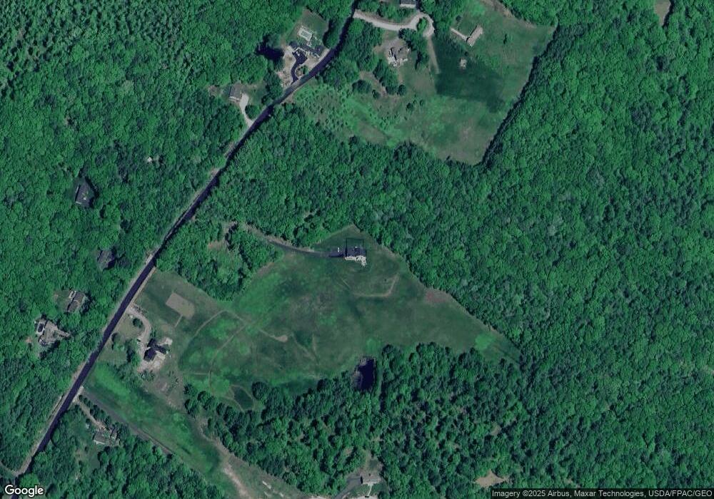
Map
Nearby Homes
- Lot 00B Knight Farm Rd
- Lot 00E Knight Farm Rd
- Lot 00A Knight Farm Rd
- 7 Littlefield Dr
- 23 Old Post Rd
- Lot# 0 Alewive Rd
- 7 Conifer Dr
- 9 Carriedale Ln
- 149 Duke Ln
- 25 Sunset Ln
- 32 Sunset Ln
- 8 Pinecone Dr
- 39 Leisure Dr
- 214 Thompson Rd
- 72 Golden Era Cir
- 3 Gerald Ln
- 18 Cascade Cir Unit 12
- 10 Tranquility Dr Unit 16
- 5 Tranquility Dr Unit 28
- 40 Cascade Cir Unit 33
Your Personal Tour Guide
Ask me questions while you tour the home.