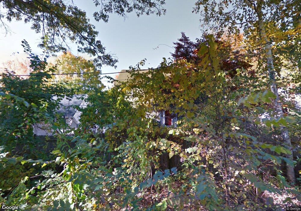
12 Ellis St North Andover, MA 01845
Estimated Value: $720,744 - $849,000
3
Beds
3
Baths
1,862
Sq Ft
$419/Sq Ft
Est. Value
About This Home
This home is located at 12 Ellis St, North Andover, MA 01845 and is currently estimated at $780,436, approximately $419 per square foot. 12 Ellis St is a home located in Essex County with nearby schools including Thomson Elementary School, North Andover Middle School, and North Andover High School.
Ownership History
Date
Name
Owned For
Owner Type
Purchase Details
Closed on
Sep 26, 2008
Sold by
Slattery Kevin M and Slattery Andrea L
Bought by
Wilson Dorin L and Wilson Jerry L
Current Estimated Value
Home Financials for this Owner
Home Financials are based on the most recent Mortgage that was taken out on this home.
Original Mortgage
$316,000
Interest Rate
6.57%
Mortgage Type
Purchase Money Mortgage
Purchase Details
Closed on
Jun 1, 1994
Sold by
Burns Gary P
Bought by
Slattery Kevin M
Create a Home Valuation Report for This Property
The Home Valuation Report is an in-depth analysis detailing your home's value as well as a comparison with similar homes in the area
Home Values in the Area
Average Home Value in this Area
Purchase History
| Date | Buyer | Sale Price | Title Company |
|---|---|---|---|
| Wilson Dorin L | $395,000 | -- | |
| Slattery Kevin M | $159,000 | -- |
Source: Public Records
Mortgage History
| Date | Status | Borrower | Loan Amount |
|---|---|---|---|
| Open | Slattery Kevin M | $317,158 | |
| Closed | Wilson Dorin L | $316,000 | |
| Previous Owner | Slattery Kevin M | $175,000 |
Source: Public Records
Tax History Compared to Growth
Tax History
| Year | Tax Paid | Tax Assessment Tax Assessment Total Assessment is a certain percentage of the fair market value that is determined by local assessors to be the total taxable value of land and additions on the property. | Land | Improvement |
|---|---|---|---|---|
| 2025 | $6,797 | $603,600 | $304,300 | $299,300 |
| 2024 | $6,633 | $598,100 | $286,400 | $311,700 |
| 2023 | $6,558 | $535,800 | $263,100 | $272,700 |
| 2022 | $6,446 | $476,400 | $236,200 | $240,200 |
| 2021 | $6,447 | $455,000 | $214,800 | $240,200 |
| 2020 | $6,120 | $445,400 | $214,800 | $230,600 |
| 2019 | $5,973 | $445,400 | $214,800 | $230,600 |
| 2018 | $6,472 | $445,400 | $214,800 | $230,600 |
| 2017 | $5,419 | $379,500 | $179,100 | $200,400 |
| 2016 | $5,127 | $359,300 | $175,700 | $183,600 |
| 2015 | $5,146 | $357,600 | $169,700 | $187,900 |
Source: Public Records
Map
Nearby Homes
- 62 Brightwood Ave
- 29 Brightwood Ave
- 385 Sutton St
- 148 Main St Unit A508
- 148 Main St Unit C538
- 148 Main St Unit A307
- 68 Belmont St Unit 68
- 64 2nd St
- 826 Osgood St
- 12 Walker Rd Unit 6
- 13 Woodland St
- 68 Union St
- 52 Howard St
- 7 Stevens Ct
- 75 Beverly St Unit 75
- 127 Marblehead St Unit A
- 19-21 Pleasant Terrace
- 317 Middlesex St
- 0 Great Pond Rd
- 33 Herrick Rd
- 3 Ellis St
- 258 Sutton St
- 250 Sutton St
- 12 Mathews Way Unit 12
- 272 Sutton St
- 30 Mathews Way Unit 30
- 30 Mathews Way Unit 1
- 242 Sutton St
- 265 Sutton St
- 28 Mathews Way Unit 28
- 253 Sutton St Unit 255
- 267 Sutton St
- 238 Sutton St
- 249 Sutton St
- 249 Sutton St Unit 251
- 9 Mathews Way Unit 9
- 19 Mathews Way Unit 19
- 6 Thorndike Rd
- 11 Thorndike Rd
- 232 Sutton St Unit 2