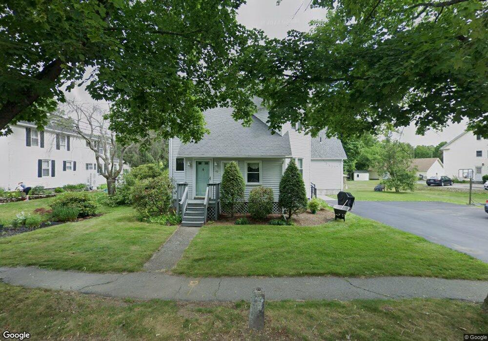
12 Elm St North Grafton, MA 01536
Estimated Value: $607,000 - $749,000
4
Beds
4
Baths
2,871
Sq Ft
$240/Sq Ft
Est. Value
About This Home
This home is located at 12 Elm St, North Grafton, MA 01536 and is currently estimated at $690,210, approximately $240 per square foot. 12 Elm St is a home located in Worcester County with nearby schools including Grafton High School and Al-Hamra Academy.
Ownership History
Date
Name
Owned For
Owner Type
Purchase Details
Closed on
Sep 1, 1998
Sold by
Iandoli Albert V and Iandoli Doris L
Bought by
Frey Joseph H and Frey Judith
Current Estimated Value
Home Financials for this Owner
Home Financials are based on the most recent Mortgage that was taken out on this home.
Original Mortgage
$80,000
Interest Rate
6.9%
Mortgage Type
Purchase Money Mortgage
Create a Home Valuation Report for This Property
The Home Valuation Report is an in-depth analysis detailing your home's value as well as a comparison with similar homes in the area
Home Values in the Area
Average Home Value in this Area
Purchase History
| Date | Buyer | Sale Price | Title Company |
|---|---|---|---|
| Frey Joseph H | $193,500 | -- | |
| Frey Joseph H | $193,500 | -- |
Source: Public Records
Mortgage History
| Date | Status | Borrower | Loan Amount |
|---|---|---|---|
| Open | Frey Joseph H | $73,400 | |
| Open | Frey Joseph H | $140,000 | |
| Closed | Frey Joseph H | $80,000 |
Source: Public Records
Tax History Compared to Growth
Tax History
| Year | Tax Paid | Tax Assessment Tax Assessment Total Assessment is a certain percentage of the fair market value that is determined by local assessors to be the total taxable value of land and additions on the property. | Land | Improvement |
|---|---|---|---|---|
| 2025 | $9,368 | $672,000 | $177,700 | $494,300 |
| 2024 | $9,015 | $630,000 | $169,200 | $460,800 |
| 2023 | $8,801 | $560,200 | $169,200 | $391,000 |
| 2022 | $8,084 | $478,900 | $145,400 | $333,500 |
| 2021 | $2 | $314,800 | $117,800 | $197,000 |
| 2020 | $5,194 | $314,800 | $117,800 | $197,000 |
| 2019 | $3,730 | $293,500 | $114,400 | $179,100 |
| 2018 | $4,652 | $280,400 | $113,600 | $166,800 |
| 2017 | $4,626 | $282,100 | $107,000 | $175,100 |
| 2016 | $4,025 | $240,300 | $85,900 | $154,400 |
| 2015 | $4,138 | $250,800 | $84,900 | $165,900 |
| 2014 | $3,929 | $257,500 | $100,300 | $157,200 |
Source: Public Records
Map
Nearby Homes
- 4 Westboro Rd
- 15 Windle Ave
- 51 Cortland Grove Dr Unit 51
- 34 Clews St
- 1 Purinton St
- 22 Beverly Rd
- 11 Hovey Pond Dr Unit 11
- 7 Hovey Pond Dr Unit 7
- 194 Worcester St
- 127 Stoney Hill Rd
- 17 Hingham Rd
- 14 Northgate Ct Unit 14
- 0 East St
- 4 Winslow Ln Unit 1410
- Ivywood Plan at Winslow Point - The Building 1 Series
- Hayden Plan at Winslow Point - The Building 1 Series
- 2 Winslow Ln Unit 2302
- 2 Winslow Ln Unit 406
- 151 Hartford Turnpike Unit 13
- 30 Falmouth Dr