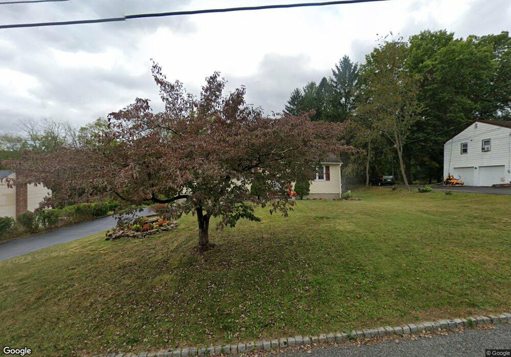
12 Elmwood Dr Hackettstown, NJ 07840
Estimated Value: $422,000
--
Bed
--
Bath
1,284
Sq Ft
$329/Sq Ft
Est. Value
About This Home
This home is located at 12 Elmwood Dr, Hackettstown, NJ 07840 and is currently estimated at $422,000, approximately $328 per square foot. 12 Elmwood Dr is a home located in Warren County with nearby schools including Mansfield Twp Elementary School, Warren Hills Regional Middle School, and Warren Hills Reg High School.
Ownership History
Date
Name
Owned For
Owner Type
Purchase Details
Closed on
Mar 28, 2008
Sold by
Stoner Thomas and Stoner Megan
Current Estimated Value
Home Financials for this Owner
Home Financials are based on the most recent Mortgage that was taken out on this home.
Original Mortgage
$265,000
Interest Rate
5.94%
Mortgage Type
Purchase Money Mortgage
Purchase Details
Closed on
Aug 13, 1999
Sold by
Clark Ruth L
Bought by
Stoner Thomas and Stoner Megan
Home Financials for this Owner
Home Financials are based on the most recent Mortgage that was taken out on this home.
Original Mortgage
$90,000
Interest Rate
6.87%
Mortgage Type
Stand Alone First
Purchase Details
Closed on
Oct 19, 1998
Sold by
Clark Alexander
Bought by
Clark Ruth L
Create a Home Valuation Report for This Property
The Home Valuation Report is an in-depth analysis detailing your home's value as well as a comparison with similar homes in the area
Home Values in the Area
Average Home Value in this Area
Purchase History
| Date | Buyer | Sale Price | Title Company |
|---|---|---|---|
| -- | $285,000 | None Available | |
| Stoner Thomas | $125,000 | -- | |
| Clark Ruth L | -- | -- |
Source: Public Records
Mortgage History
| Date | Status | Borrower | Loan Amount |
|---|---|---|---|
| Previous Owner | -- | $265,000 | |
| Previous Owner | Stoner Thomas | $90,000 |
Source: Public Records
Tax History Compared to Growth
Tax History
| Year | Tax Paid | Tax Assessment Tax Assessment Total Assessment is a certain percentage of the fair market value that is determined by local assessors to be the total taxable value of land and additions on the property. | Land | Improvement |
|---|---|---|---|---|
| 2025 | $6,158 | $174,100 | $78,400 | $95,700 |
| 2024 | $6,184 | $174,100 | $78,400 | $95,700 |
| 2023 | $6,074 | $174,100 | $78,400 | $95,700 |
| 2022 | $6,074 | $174,100 | $78,400 | $95,700 |
| 2021 | $6,116 | $174,100 | $78,400 | $95,700 |
| 2020 | $6,055 | $174,100 | $78,400 | $95,700 |
| 2019 | $5,858 | $174,100 | $78,400 | $95,700 |
| 2018 | $5,729 | $174,100 | $78,400 | $95,700 |
| 2017 | $5,735 | $174,100 | $78,400 | $95,700 |
| 2016 | $5,604 | $174,100 | $78,400 | $95,700 |
| 2015 | $5,486 | $174,100 | $78,400 | $95,700 |
| 2014 | $5,312 | $174,100 | $78,400 | $95,700 |
Source: Public Records
Map
Nearby Homes
- 1 Heather Ct
- 13 Highland Ave
- 42 Slope Dr
- 3 Parkview Dr
- 21 Highland Ave
- 17 Meadow Ln
- 9 Brantwood Terrace
- 48 Brantwood Terrace
- 50 Thomas Rd
- 389 Blau Rd
- 1404 New Jersey 57
- 130 Kings Hwy
- 53 Winchester Ave
- 102 Sunnyview Ave E
- 414 Rockport Rd
- 40 Heiser Rd
- 135 Cynthia Dr
- 225 Riva Dr
- 209 Riva Dr Unit 3A24H
- 250 Riva Dr