12 Emily Rd Far Hills, NJ 07931
Estimated Value: $2,209,172 - $2,401,000
--
Bed
--
Bath
5,807
Sq Ft
$401/Sq Ft
Est. Value
About This Home
This home is located at 12 Emily Rd, Far Hills, NJ 07931 and is currently estimated at $2,330,057, approximately $401 per square foot. 12 Emily Rd is a home located in Somerset County with nearby schools including Oak Street Elementary School, William Annin Middle School, and Ridge High School.
Ownership History
Date
Name
Owned For
Owner Type
Purchase Details
Closed on
Jan 14, 2014
Sold by
Pickett Cecil B and Pickett Shirley N
Bought by
Pickett Family Revocable Trust
Current Estimated Value
Purchase Details
Closed on
Oct 3, 1994
Sold by
Russo Anthony Della
Bought by
Pickett Cecil and Pickett Shirley
Home Financials for this Owner
Home Financials are based on the most recent Mortgage that was taken out on this home.
Original Mortgage
$600,000
Interest Rate
8.55%
Purchase Details
Closed on
Feb 4, 1994
Sold by
Rosenthal Larry
Bought by
Russo Anthony Dello
Home Financials for this Owner
Home Financials are based on the most recent Mortgage that was taken out on this home.
Original Mortgage
$250,000
Interest Rate
6.93%
Create a Home Valuation Report for This Property
The Home Valuation Report is an in-depth analysis detailing your home's value as well as a comparison with similar homes in the area
Home Values in the Area
Average Home Value in this Area
Purchase History
| Date | Buyer | Sale Price | Title Company |
|---|---|---|---|
| Pickett Family Revocable Trust | -- | None Available | |
| Pickett Cecil | $879,000 | -- | |
| Russo Anthony Dello | $250,000 | -- |
Source: Public Records
Mortgage History
| Date | Status | Borrower | Loan Amount |
|---|---|---|---|
| Closed | Pickett Cecil | $600,000 | |
| Previous Owner | Russo Anthony Dello | $250,000 |
Source: Public Records
Tax History Compared to Growth
Tax History
| Year | Tax Paid | Tax Assessment Tax Assessment Total Assessment is a certain percentage of the fair market value that is determined by local assessors to be the total taxable value of land and additions on the property. | Land | Improvement |
|---|---|---|---|---|
| 2025 | $31,455 | $1,909,400 | $519,900 | $1,389,500 |
| 2024 | $31,455 | $1,768,100 | $459,900 | $1,308,200 |
| 2023 | $31,106 | $1,649,300 | $459,900 | $1,189,400 |
| 2022 | $31,253 | $1,554,100 | $459,900 | $1,094,200 |
| 2021 | $31,608 | $1,498,000 | $459,900 | $1,038,100 |
| 2020 | $29,668 | $1,416,800 | $449,900 | $966,900 |
| 2019 | $30,872 | $1,517,800 | $479,900 | $1,037,900 |
| 2018 | $32,172 | $1,604,600 | $489,900 | $1,114,700 |
| 2017 | $34,422 | $1,730,600 | $489,900 | $1,240,700 |
| 2016 | $33,977 | $1,741,500 | $493,000 | $1,248,500 |
| 2015 | $33,199 | $1,627,600 | $493,000 | $1,134,600 |
| 2014 | $30,646 | $1,584,600 | $463,000 | $1,121,600 |
Source: Public Records
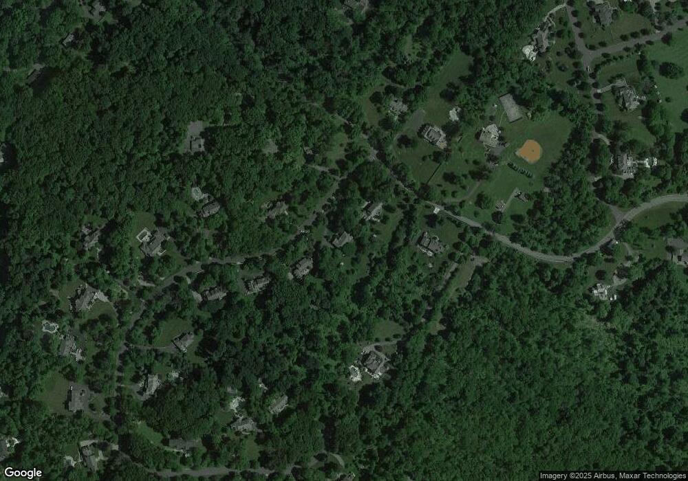
Map
Nearby Homes
- 19 Emily Rd
- 365 Mine Brook Rd
- 570 Mine Brook Rd
- 23 Charlotte Hill Dr
- 496 Mine Brook Rd
- 20 Whitaker Ln
- 92 Whitenack Rd
- 453 Mine Brook Rd
- 12 Wayne Terrace
- 63 Charles Rd
- 174 Liberty Corner Rd
- 71 Mount Harmony Rd
- 211 Private Rd
- 49 Liberty Corner Rd
- 0 Private Rd Unit 3966400
- 101 Rippling Brook Way
- 6 Polo Club Rd
- 234 Liberty Corner Rd
- 48 Sunny Branch Rd
- 12 Hurlingham Club Rd