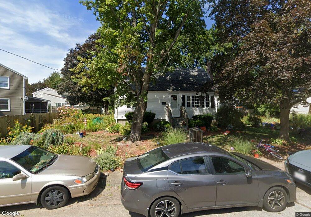
12 Ernest Rd North Weymouth, MA 02191
Estimated Value: $603,000 - $630,984
4
Beds
1
Bath
1,344
Sq Ft
$455/Sq Ft
Est. Value
About This Home
This home is located at 12 Ernest Rd, North Weymouth, MA 02191 and is currently estimated at $611,996, approximately $455 per square foot. 12 Ernest Rd is a home located in Norfolk County with nearby schools including Wessagusset Elementary School, Abigail Adams Middle School, and Weymouth Middle School Chapman.
Ownership History
Date
Name
Owned For
Owner Type
Purchase Details
Closed on
Nov 17, 1995
Sold by
Gallivan Richard F and Gallivan Teresa E
Bought by
Macauley Michael J and Macauley Diane E
Current Estimated Value
Home Financials for this Owner
Home Financials are based on the most recent Mortgage that was taken out on this home.
Original Mortgage
$104,000
Interest Rate
7.53%
Mortgage Type
Purchase Money Mortgage
Create a Home Valuation Report for This Property
The Home Valuation Report is an in-depth analysis detailing your home's value as well as a comparison with similar homes in the area
Home Values in the Area
Average Home Value in this Area
Purchase History
| Date | Buyer | Sale Price | Title Company |
|---|---|---|---|
| Macauley Michael J | $120,000 | -- |
Source: Public Records
Mortgage History
| Date | Status | Borrower | Loan Amount |
|---|---|---|---|
| Open | Macauley Michael J | $104,000 |
Source: Public Records
Tax History Compared to Growth
Tax History
| Year | Tax Paid | Tax Assessment Tax Assessment Total Assessment is a certain percentage of the fair market value that is determined by local assessors to be the total taxable value of land and additions on the property. | Land | Improvement |
|---|---|---|---|---|
| 2025 | $4,858 | $481,000 | $224,900 | $256,100 |
| 2024 | $4,707 | $458,300 | $214,300 | $244,000 |
| 2023 | $4,529 | $433,400 | $198,400 | $235,000 |
| 2022 | $4,429 | $386,500 | $183,700 | $202,800 |
| 2021 | $4,186 | $356,600 | $183,700 | $172,900 |
| 2020 | $4,047 | $339,500 | $183,700 | $155,800 |
| 2019 | $3,949 | $325,800 | $176,600 | $149,200 |
| 2018 | $3,889 | $311,100 | $168,200 | $142,900 |
| 2017 | $3,703 | $289,100 | $153,000 | $136,100 |
| 2016 | $3,558 | $278,000 | $147,100 | $130,900 |
| 2015 | $3,394 | $263,100 | $140,100 | $123,000 |
| 2014 | $3,188 | $239,700 | $130,300 | $109,400 |
Source: Public Records
Map
Nearby Homes
- 59 Katherine St
- 341 Green St
- 54 Katherine St
- 727 Commercial St
- 11 Shaw St
- 7 Mount Vernon Rd E
- 51 Beals St Unit 53
- 693 Commercial St
- 669 Commercial St
- 3705 Tuckers Ln
- 222 Neck St
- 6 Beal's Cove Rd Unit G
- 16 Beals Cove Rd Unit B
- 5 Beals Cove Rd Unit E
- 10 Backriver Rd
- 19-21 Bursley Rd
- 20-22 Bursley Rd
- 4 Sutton St
- 114 Gilbert Rd
- 20 Great Hill Dr