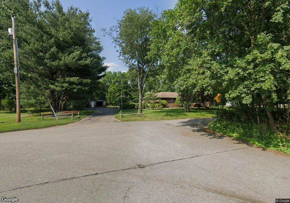
12 Father Hayes Dr Haskell, NJ 07420
Estimated Value: $553,000 - $758,000
--
Bed
--
Bath
2,608
Sq Ft
$259/Sq Ft
Est. Value
About This Home
This home is located at 12 Father Hayes Dr, Haskell, NJ 07420 and is currently estimated at $675,492, approximately $259 per square foot. 12 Father Hayes Dr is a home located in Passaic County with nearby schools including Lakeland Reg High School and St Marys School.
Ownership History
Date
Name
Owned For
Owner Type
Purchase Details
Closed on
Aug 12, 1994
Sold by
Roberto Robert
Bought by
Roberto Theodore and Roberto Barbara
Current Estimated Value
Home Financials for this Owner
Home Financials are based on the most recent Mortgage that was taken out on this home.
Original Mortgage
$100,000
Interest Rate
8.38%
Create a Home Valuation Report for This Property
The Home Valuation Report is an in-depth analysis detailing your home's value as well as a comparison with similar homes in the area
Home Values in the Area
Average Home Value in this Area
Purchase History
| Date | Buyer | Sale Price | Title Company |
|---|---|---|---|
| Roberto Theodore | $220,250 | -- |
Source: Public Records
Mortgage History
| Date | Status | Borrower | Loan Amount |
|---|---|---|---|
| Closed | Roberto Theodore | $100,000 |
Source: Public Records
Tax History Compared to Growth
Tax History
| Year | Tax Paid | Tax Assessment Tax Assessment Total Assessment is a certain percentage of the fair market value that is determined by local assessors to be the total taxable value of land and additions on the property. | Land | Improvement |
|---|---|---|---|---|
| 2025 | $15,773 | $365,700 | $113,400 | $252,300 |
| 2024 | $15,458 | $365,700 | $113,400 | $252,300 |
| 2022 | $15,133 | $365,700 | $113,400 | $252,300 |
| 2021 | $14,804 | $365,700 | $113,400 | $252,300 |
| 2020 | $14,639 | $365,700 | $113,400 | $252,300 |
| 2019 | $14,288 | $365,700 | $113,400 | $252,300 |
| 2018 | $14,006 | $365,700 | $113,400 | $252,300 |
| 2017 | $13,677 | $365,700 | $113,400 | $252,300 |
| 2016 | $13,341 | $365,700 | $113,400 | $252,300 |
| 2015 | $13,151 | $365,700 | $113,400 | $252,300 |
| 2014 | $12,891 | $365,700 | $113,400 | $252,300 |
Source: Public Records
Map
Nearby Homes
- 90 Burnside Place
- 25 Bergen Ave
- 35 Smith Ave
- 17 Locust St
- 9116 Warrens Way Unit 116
- 9116 Warrens Way
- 5 Storms Place
- 10316 Warrens Way
- 9312 Warrens Way
- 8317 Warrens Way
- 8406 Warrens Way
- 40 Burnside Place
- 8415 Warrens Way
- 748 Ringwood Ave
- 6116 Warrens Way
- 6311 Warrens Way
- 7414 Warrens Way Unit 414
- 7414 Warrens Way Unit DEEDED PARKING