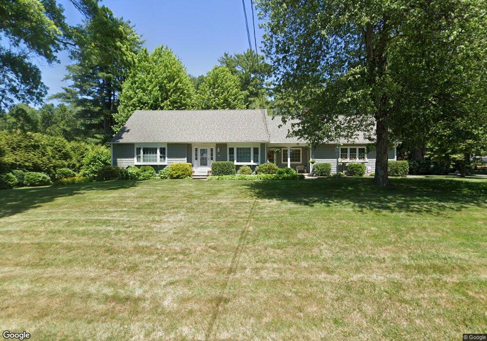
12 Fernwood Dr Wilbraham, MA 01095
Estimated Value: $437,311 - $570,000
4
Beds
2
Baths
1,821
Sq Ft
$273/Sq Ft
Est. Value
About This Home
This home is located at 12 Fernwood Dr, Wilbraham, MA 01095 and is currently estimated at $496,828, approximately $272 per square foot. 12 Fernwood Dr is a home located in Hampden County with nearby schools including Minnechaug Regional High School, St. John the Baptist School, and Wilbraham & Monson Academy.
Ownership History
Date
Name
Owned For
Owner Type
Purchase Details
Closed on
Oct 1, 2001
Sold by
Benham Charles C and Benham Florence
Bought by
Goodman James W and Goodman Janet C
Current Estimated Value
Home Financials for this Owner
Home Financials are based on the most recent Mortgage that was taken out on this home.
Original Mortgage
$100,000
Outstanding Balance
$39,336
Interest Rate
6.66%
Estimated Equity
$457,492
Create a Home Valuation Report for This Property
The Home Valuation Report is an in-depth analysis detailing your home's value as well as a comparison with similar homes in the area
Home Values in the Area
Average Home Value in this Area
Purchase History
| Date | Buyer | Sale Price | Title Company |
|---|---|---|---|
| Goodman James W | $215,000 | -- |
Source: Public Records
Mortgage History
| Date | Status | Borrower | Loan Amount |
|---|---|---|---|
| Open | Goodman James W | $100,000 |
Source: Public Records
Tax History Compared to Growth
Tax History
| Year | Tax Paid | Tax Assessment Tax Assessment Total Assessment is a certain percentage of the fair market value that is determined by local assessors to be the total taxable value of land and additions on the property. | Land | Improvement |
|---|---|---|---|---|
| 2025 | $7,274 | $406,800 | $102,200 | $304,600 |
| 2024 | $6,588 | $356,100 | $102,200 | $253,900 |
| 2023 | $7,071 | $336,100 | $102,200 | $233,900 |
| 2022 | $7,071 | $345,100 | $102,200 | $242,900 |
| 2021 | $6,711 | $292,300 | $109,200 | $183,100 |
| 2020 | $6,542 | $292,300 | $109,200 | $183,100 |
| 2019 | $6,374 | $292,400 | $109,200 | $183,200 |
| 2018 | $6,144 | $271,400 | $109,200 | $162,200 |
| 2017 | $5,971 | $271,400 | $109,200 | $162,200 |
| 2016 | $5,767 | $267,000 | $121,300 | $145,700 |
| 2015 | $5,575 | $267,000 | $121,300 | $145,700 |
Source: Public Records
Map
Nearby Homes
- 26 Sandalwood Dr
- 15 Sandalwood Dr Unit site 00
- 111 Sandalwood Dr Unit site 00
- 11 Hickory Hill Dr
- 57 Sandalwood Dr Unit site 61
- 103 Sandalwood Dr Unit site 00
- 10 Forest Glade Dr
- 344 Stony Hill Rd
- 99 Sandalwood Dr Unit site 00
- 92 Sandalwood Dr
- 8 Glenn Dr
- 4 Lance Ln
- 6V Melikian Dr
- 32 Lodge Ln Unit 32
- 24 Lodge Ln Unit 24
- 34 Blacksmith Rd
- 11 Wellfleet Dr
- 116 Cherry Dr Unit 116
- 19 Linwood Dr
- 2205 Boston Rd Unit I 82
- 10 Fernwood Dr
- 2 Laurel Ln
- 14 Fernwood Dr
- 13 Fernwood Dr
- 11 Fernwood Dr
- 1 Laurel Ln
- 15 Fernwood Dr
- 8 Fernwood Dr
- 9 Fernwood Dr
- 16 Fernwood Dr
- 3 Beechwood Dr
- 4 Laurel Ln
- 14 Sandalwood Dr Unit 14
- 18 Sandalwood Dr Unit 18
- 18 Sandalwood Dr
- 18 Sandalwood Dr Unit 18
- 17 Fernwood Dr
- 16 Sandalwood Dr
- 6 Fernwood Dr
- 3 Laurel Ln