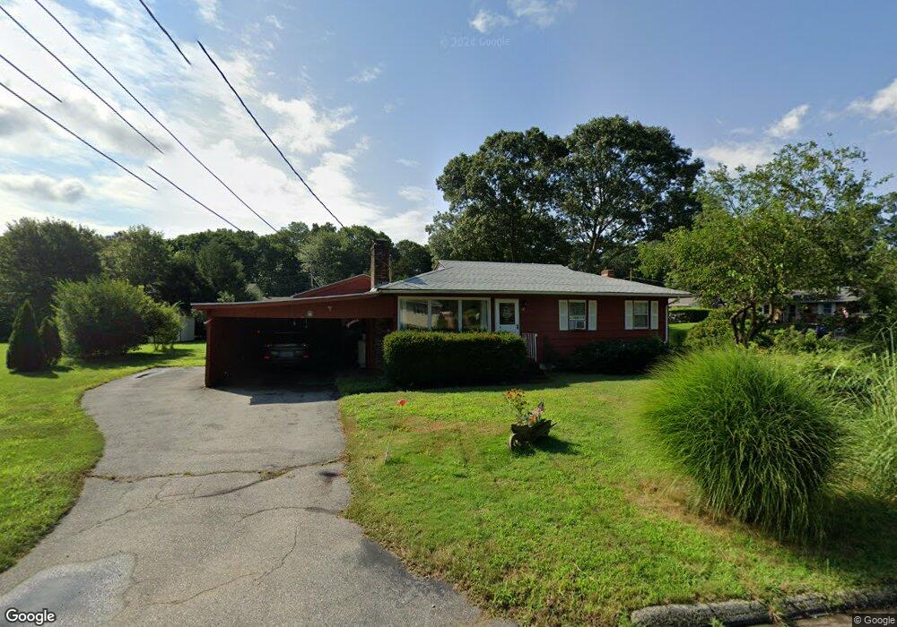
12 Filosi Rd East Lyme, CT 06333
Estimated Value: $376,000 - $496,000
3
Beds
2
Baths
1,330
Sq Ft
$326/Sq Ft
Est. Value
About This Home
This home is located at 12 Filosi Rd, East Lyme, CT 06333 and is currently estimated at $432,972, approximately $325 per square foot. 12 Filosi Rd is a home located in New London County with nearby schools including East Lyme Middle School, East Lyme High School, and Carelot Children's Center - East Lyme.
Ownership History
Date
Name
Owned For
Owner Type
Purchase Details
Closed on
Jun 4, 2021
Sold by
Nelson Kirk and Nelson Phylis R
Bought by
Avery Matthew
Current Estimated Value
Home Financials for this Owner
Home Financials are based on the most recent Mortgage that was taken out on this home.
Original Mortgage
$310,800
Outstanding Balance
$281,391
Interest Rate
2.9%
Mortgage Type
Purchase Money Mortgage
Estimated Equity
$151,581
Purchase Details
Closed on
Nov 10, 1965
Bought by
Pierce Robert H and Pierce Judy
Create a Home Valuation Report for This Property
The Home Valuation Report is an in-depth analysis detailing your home's value as well as a comparison with similar homes in the area
Home Values in the Area
Average Home Value in this Area
Purchase History
| Date | Buyer | Sale Price | Title Company |
|---|---|---|---|
| Avery Matthew | $300,000 | None Available | |
| Pierce Robert H | -- | -- |
Source: Public Records
Mortgage History
| Date | Status | Borrower | Loan Amount |
|---|---|---|---|
| Open | Avery Matthew | $310,800 | |
| Previous Owner | Pierce Robert H | $30,000 |
Source: Public Records
Tax History Compared to Growth
Tax History
| Year | Tax Paid | Tax Assessment Tax Assessment Total Assessment is a certain percentage of the fair market value that is determined by local assessors to be the total taxable value of land and additions on the property. | Land | Improvement |
|---|---|---|---|---|
| 2025 | $5,082 | $181,440 | $81,480 | $99,960 |
| 2024 | $4,781 | $181,440 | $81,480 | $99,960 |
| 2023 | $4,514 | $181,440 | $81,480 | $99,960 |
| 2022 | $4,326 | $181,440 | $81,480 | $99,960 |
| 2021 | $4,093 | $143,570 | $77,420 | $66,150 |
| 2020 | $4,072 | $143,570 | $77,420 | $66,150 |
| 2019 | $4,047 | $143,570 | $77,420 | $66,150 |
| 2018 | $3,927 | $143,570 | $77,420 | $66,150 |
| 2017 | $3,756 | $143,570 | $77,420 | $66,150 |
| 2016 | $3,490 | $137,620 | $73,290 | $64,330 |
| 2015 | $3,401 | $137,620 | $73,290 | $64,330 |
| 2014 | $3,307 | $137,620 | $73,290 | $64,330 |
Source: Public Records
Map
Nearby Homes
- 10 Filosi Rd
- 32 Upper Pattagansett Rd Unit 8
- 231 Boston Post Rd Unit 9
- 14 Irvingdell Place
- 138 Boston Post Rd Unit 10
- 138 Boston Post Rd Unit 11
- 138 Boston Post Rd Unit 16
- 138 Boston Post Rd Unit 17
- 138 Boston Post Rd Unit 3
- 20 Sunrise Trail
- 33 Arbor Crossing
- 18 Sandpiper Ln
- 1 Hathaway Rd
- 0 Cedarbrook Ln Unit 24110327
- 12 Brookfield Dr
- 43 Mayfield Terrace
- 11 Pumpkin Grove
- 48 Quailcrest Rd
- 14 Pumpkin Grove
- 5 Pumpkin Grove