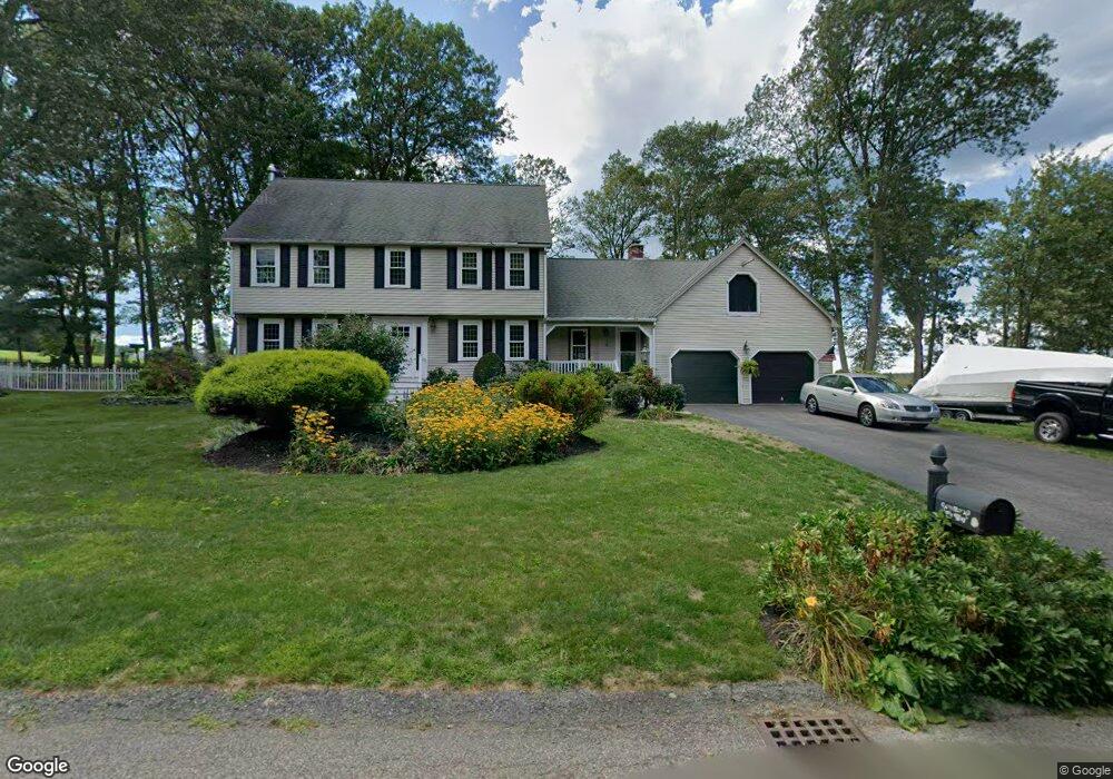
12 Fir Way North Attleboro, MA 02760
North Attleboro NeighborhoodEstimated Value: $706,810 - $941,000
3
Beds
3
Baths
2,148
Sq Ft
$361/Sq Ft
Est. Value
About This Home
This home is located at 12 Fir Way, North Attleboro, MA 02760 and is currently estimated at $774,703, approximately $360 per square foot. 12 Fir Way is a home located in Bristol County with nearby schools including North Attleboro High School and Dayspring Christian Academy.
Ownership History
Date
Name
Owned For
Owner Type
Purchase Details
Closed on
Feb 3, 2016
Sold by
Ty-Sweeney Maureen N
Bought by
Ty Maureen N and Blanchette Dennis D
Current Estimated Value
Home Financials for this Owner
Home Financials are based on the most recent Mortgage that was taken out on this home.
Original Mortgage
$245,000
Outstanding Balance
$195,500
Interest Rate
3.98%
Mortgage Type
New Conventional
Estimated Equity
$579,203
Purchase Details
Closed on
May 7, 2004
Sold by
Sweeney Kevin M and Ty Sweeney Maureen N
Bought by
Ty-Sweeney Maureen N
Home Financials for this Owner
Home Financials are based on the most recent Mortgage that was taken out on this home.
Original Mortgage
$330,000
Interest Rate
5.39%
Purchase Details
Closed on
Mar 28, 1995
Sold by
Andrulis John I and Andrulis Louise P
Bought by
Sweeney Kevin M and Ty Sweeney Maureen N
Create a Home Valuation Report for This Property
The Home Valuation Report is an in-depth analysis detailing your home's value as well as a comparison with similar homes in the area
Home Values in the Area
Average Home Value in this Area
Purchase History
| Date | Buyer | Sale Price | Title Company |
|---|---|---|---|
| Ty Maureen N | -- | -- | |
| Ty-Sweeney Maureen N | -- | -- | |
| Sweeney Kevin M | $222,500 | -- |
Source: Public Records
Mortgage History
| Date | Status | Borrower | Loan Amount |
|---|---|---|---|
| Open | Ty Maureen N | $245,000 | |
| Previous Owner | Ty-Sweeney Maureen N | $330,000 | |
| Previous Owner | Sweeney Kevin M | $329,600 | |
| Previous Owner | Sweeney Kevin M | $125,000 |
Source: Public Records
Tax History Compared to Growth
Tax History
| Year | Tax Paid | Tax Assessment Tax Assessment Total Assessment is a certain percentage of the fair market value that is determined by local assessors to be the total taxable value of land and additions on the property. | Land | Improvement |
|---|---|---|---|---|
| 2025 | $7,514 | $637,300 | $139,800 | $497,500 |
| 2024 | $7,564 | $655,500 | $139,800 | $515,700 |
| 2023 | $7,194 | $562,500 | $139,800 | $422,700 |
| 2022 | $6,749 | $484,500 | $139,800 | $344,700 |
| 2021 | $6,397 | $448,300 | $139,800 | $308,500 |
| 2020 | $6,307 | $439,500 | $139,800 | $299,700 |
| 2019 | $6,129 | $430,400 | $127,100 | $303,300 |
| 2018 | $5,503 | $412,500 | $127,100 | $285,400 |
| 2017 | $5,453 | $412,500 | $127,100 | $285,400 |
| 2016 | $5,250 | $397,100 | $141,300 | $255,800 |
| 2015 | $5,114 | $389,200 | $148,400 | $240,800 |
| 2014 | $5,003 | $377,900 | $137,100 | $240,800 |
Source: Public Records
Map
Nearby Homes
- 637 S Washington St Unit 47
- 31 Paine Rd
- 740 Allen Ave
- 181 Paine Rd
- 47 Reservoir St
- 11 Primrose Terrace
- Lot 6 Sperry Ln
- 121 E Washington St Unit 8
- 121 E Washington St Unit 12
- 121 E Washington St Unit 13
- 121 E Washington St Unit 11
- 31 Walnut Rd
- 90 Walnut Rd
- 46-48 Juniper Rd
- 130 E Washington St Unit 57
- 130 E Washington St Unit 71
- 325 Reservoir St
- 138 Jefferson St
- 80 Broadway Unit 9
- 44 Powder Horn Way