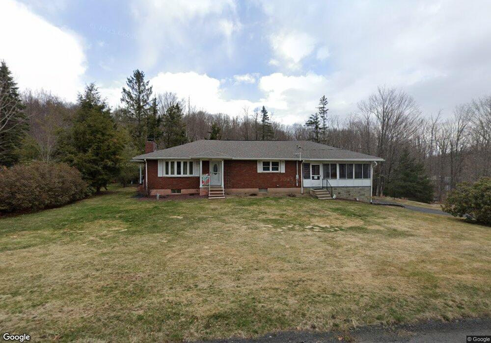
12 First St Spring Brook Township, PA 18444
Estimated Value: $116,320 - $478,000
2
Beds
1
Bath
2,907
Sq Ft
$105/Sq Ft
Est. Value
About This Home
This home is located at 12 First St, Spring Brook Township, PA 18444 and is currently estimated at $305,830, approximately $105 per square foot. 12 First St is a home located in Lackawanna County with nearby schools including Jefferson El School and North Pocono High School.
Ownership History
Date
Name
Owned For
Owner Type
Purchase Details
Closed on
Jul 3, 2025
Sold by
Connor Brian Allen and Connor Rita Ann
Bought by
Connor Brian Allen
Current Estimated Value
Purchase Details
Closed on
Jun 29, 2018
Sold by
Connor Brian Allen
Bought by
Connor Brian Allen and Connor Rita Ann
Purchase Details
Closed on
Nov 1, 2011
Sold by
Weber Edward R and Weber Maribeth A
Bought by
Connor Brian Allen
Home Financials for this Owner
Home Financials are based on the most recent Mortgage that was taken out on this home.
Original Mortgage
$127,687
Interest Rate
3.92%
Mortgage Type
VA
Purchase Details
Closed on
May 28, 2010
Sold by
Weber Edward Richard and Weber Maribeth Ann
Bought by
Weber Edward Richard and Weber Maribeth Ann
Create a Home Valuation Report for This Property
The Home Valuation Report is an in-depth analysis detailing your home's value as well as a comparison with similar homes in the area
Home Values in the Area
Average Home Value in this Area
Purchase History
| Date | Buyer | Sale Price | Title Company |
|---|---|---|---|
| Connor Brian Allen | -- | None Listed On Document | |
| Connor Brian Allen | -- | None Available | |
| Connor Brian Allen | $125,000 | 1St Choice Abstract Inc | |
| Weber Edward Richard | -- | None Available | |
| Weber Edward Richard | -- | None Available | |
| Weber Edward Richard | -- | None Available | |
| Weber Edward Richard | -- | None Available |
Source: Public Records
Mortgage History
| Date | Status | Borrower | Loan Amount |
|---|---|---|---|
| Previous Owner | Connor Brian Allen | $127,687 |
Source: Public Records
Tax History
| Year | Tax Paid | Tax Assessment Tax Assessment Total Assessment is a certain percentage of the fair market value that is determined by local assessors to be the total taxable value of land and additions on the property. | Land | Improvement |
|---|---|---|---|---|
| 2025 | $5,748 | $21,000 | $1,200 | $19,800 |
| 2024 | $4,826 | $21,000 | $1,200 | $19,800 |
| 2023 | $4,826 | $21,000 | $1,200 | $19,800 |
| 2022 | $4,692 | $21,000 | $1,200 | $19,800 |
| 2021 | $4,623 | $21,000 | $1,200 | $19,800 |
| 2020 | $4,564 | $21,000 | $1,200 | $19,800 |
| 2019 | $4,345 | $21,000 | $1,200 | $19,800 |
| 2018 | $4,276 | $21,000 | $1,200 | $19,800 |
| 2017 | $4,221 | $21,000 | $1,200 | $19,800 |
| 2016 | $2,722 | $21,000 | $1,200 | $19,800 |
| 2015 | -- | $21,000 | $1,200 | $19,800 |
| 2014 | -- | $21,000 | $1,200 | $19,800 |
Source: Public Records
Map
Nearby Homes
- 0 Green Briar Dr
- 64 Green Briar Dr
- 52 Woodland Dr
- 0 Carl Sunset Ln
- T 330 L-c Gardner Rd
- 316 Ohara Rd T 316 Rd Unit T 316
- 502 Park Ln
- 0 Donny Dr
- 922 Old Logger Rd
- 42 Davis St
- 500 Scranton-Pocono Hwy
- wl752 N Lake View
- 407 Hill St
- 304 T Rt 351
- 210 Beechwood Dr
- 118 Sunset Rd
- 708 Pin Oak Place
- 603 Clover Ln
- 27 Richland Rd
- 68 Buena Vista Dr
Your Personal Tour Guide
Ask me questions while you tour the home.