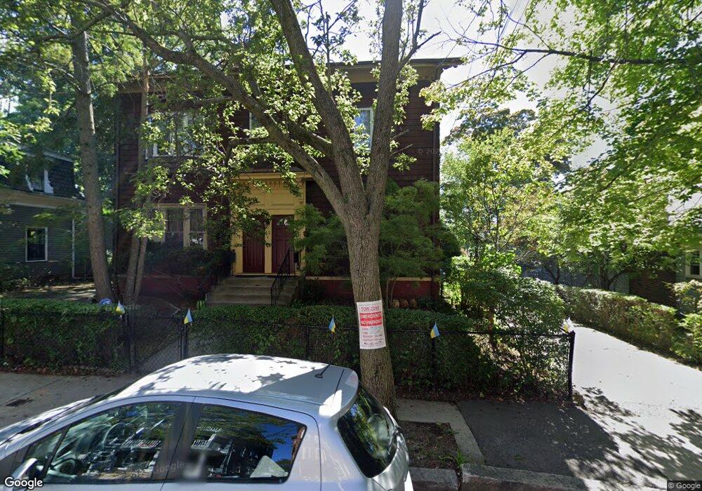
12 Florence St Cambridge, MA 02139
Cambridgeport NeighborhoodEstimated Value: $2,531,000 - $3,135,000
5
Beds
4
Baths
4,311
Sq Ft
$643/Sq Ft
Est. Value
About This Home
This home is located at 12 Florence St, Cambridge, MA 02139 and is currently estimated at $2,770,000, approximately $642 per square foot. 12 Florence St is a home located in Middlesex County with nearby schools including New England Hebrew Academy, St Herman Of Alaska Christian School, and Boston University Academy.
Ownership History
Date
Name
Owned For
Owner Type
Purchase Details
Closed on
May 16, 2017
Sold by
12 Florence Street Rt
Bought by
Niki Baccus Horowitz R
Current Estimated Value
Create a Home Valuation Report for This Property
The Home Valuation Report is an in-depth analysis detailing your home's value as well as a comparison with similar homes in the area
Home Values in the Area
Average Home Value in this Area
Purchase History
| Date | Buyer | Sale Price | Title Company |
|---|---|---|---|
| Niki Baccus Horowitz R | -- | -- |
Source: Public Records
Tax History Compared to Growth
Tax History
| Year | Tax Paid | Tax Assessment Tax Assessment Total Assessment is a certain percentage of the fair market value that is determined by local assessors to be the total taxable value of land and additions on the property. | Land | Improvement |
|---|---|---|---|---|
| 2025 | $18,048 | $2,842,200 | $1,630,500 | $1,211,700 |
| 2024 | $16,963 | $2,865,300 | $1,698,600 | $1,166,700 |
| 2023 | $16,092 | $2,746,000 | $1,681,500 | $1,064,500 |
| 2022 | $14,805 | $2,500,900 | $1,538,700 | $962,200 |
| 2021 | $13,997 | $2,392,600 | $1,454,200 | $938,400 |
| 2020 | $13,310 | $2,314,700 | $1,382,700 | $932,000 |
| 2019 | $12,244 | $2,061,300 | $1,206,000 | $855,300 |
| 2018 | $11,479 | $1,824,900 | $1,060,400 | $764,500 |
| 2017 | $11,451 | $1,764,400 | $1,039,600 | $724,800 |
| 2016 | $10,409 | $1,489,100 | $821,300 | $667,800 |
| 2015 | $10,144 | $1,297,200 | $717,300 | $579,900 |
| 2014 | $10,154 | $1,211,700 | $681,000 | $530,700 |
Source: Public Records
Map
Nearby Homes
- 214 Allston St
- 174 Hamilton St
- 161 Hamilton St
- 260 Sidney St Unit 3R
- 131 Erie St Unit 3
- 131 Erie St
- 1 Jay St
- 2 Hingham St
- 125 Brookline St Unit 4
- 73 River St Unit 4B
- 6-8 Watson St Unit 8
- 8 Watson St Unit 8
- 53 Jay St Unit 2
- 300 Franklin St Unit 5
- 300 Franklin St Unit 1
- 300 Franklin St Unit 2
- 127 Auburn St
- 129 Auburn St
- 6 Elba St
- 19 Thatcher St Unit E13
- 12 Florence St Unit 1
- 14 Florence St
- 10 Florence St
- 2 Gordon Place
- 8 Florence St
- 4 Gordon Place
- 9 Florence St Unit 3
- 9 Florence St Unit 2
- 9 Florence St Unit 1
- 6 Gordon Place
- 16 Florence St
- 6 Florence St
- 6 Florence St
- 6 Florence St Unit 6
- 11 Florence St
- 13 Florence St
- 15 Florence St Unit 15
- 15 Florence St
- 13 Florence St Unit 13
- 17 Florence St