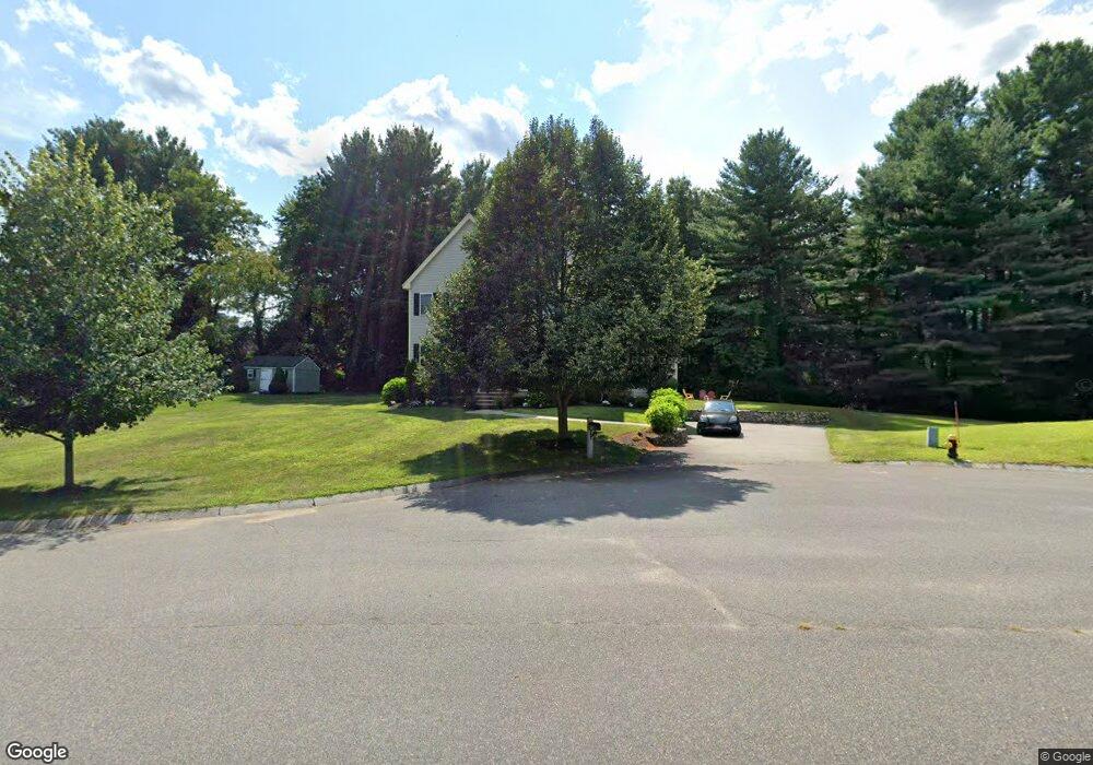
12 Foster Cir Reading, MA 01867
Estimated Value: $1,208,000 - $1,501,000
4
Beds
4
Baths
2,422
Sq Ft
$557/Sq Ft
Est. Value
About This Home
This home is located at 12 Foster Cir, Reading, MA 01867 and is currently estimated at $1,349,688, approximately $557 per square foot. 12 Foster Cir is a home located in Middlesex County with nearby schools including Wood End Elementary School, Arthur W. Coolidge Middle School, and Reading Memorial High School.
Ownership History
Date
Name
Owned For
Owner Type
Purchase Details
Closed on
Jul 29, 2009
Sold by
Tomasello Michael J
Bought by
Nadeau Peter J and Nadeau Karen P
Current Estimated Value
Home Financials for this Owner
Home Financials are based on the most recent Mortgage that was taken out on this home.
Original Mortgage
$400,000
Outstanding Balance
$263,713
Interest Rate
5.43%
Mortgage Type
Purchase Money Mortgage
Estimated Equity
$1,085,975
Purchase Details
Closed on
Jan 29, 2004
Sold by
H B Dev Corp
Bought by
Tomasello Michael J
Home Financials for this Owner
Home Financials are based on the most recent Mortgage that was taken out on this home.
Original Mortgage
$536,000
Interest Rate
5.82%
Mortgage Type
Purchase Money Mortgage
Purchase Details
Closed on
Oct 21, 2003
Sold by
Preece Rose S
Bought by
H B Dev Corp
Create a Home Valuation Report for This Property
The Home Valuation Report is an in-depth analysis detailing your home's value as well as a comparison with similar homes in the area
Home Values in the Area
Average Home Value in this Area
Purchase History
| Date | Buyer | Sale Price | Title Company |
|---|---|---|---|
| Nadeau Peter J | $650,000 | -- | |
| Tomasello Michael J | $669,900 | -- | |
| H B Dev Corp | $30,000 | -- |
Source: Public Records
Mortgage History
| Date | Status | Borrower | Loan Amount |
|---|---|---|---|
| Open | Nadeau Peter J | $400,000 | |
| Previous Owner | Tomasello Michael J | $536,000 |
Source: Public Records
Tax History Compared to Growth
Tax History
| Year | Tax Paid | Tax Assessment Tax Assessment Total Assessment is a certain percentage of the fair market value that is determined by local assessors to be the total taxable value of land and additions on the property. | Land | Improvement |
|---|---|---|---|---|
| 2025 | $13,561 | $1,190,600 | $602,700 | $587,900 |
| 2024 | $13,621 | $1,162,200 | $588,200 | $574,000 |
| 2023 | $12,731 | $1,011,200 | $511,100 | $500,100 |
| 2022 | $12,723 | $954,500 | $482,100 | $472,400 |
| 2021 | $0 | $880,600 | $468,300 | $412,300 |
| 2020 | $11,957 | $857,100 | $455,600 | $401,500 |
| 2019 | $11,751 | $825,800 | $438,800 | $387,000 |
| 2018 | $5,409 | $817,900 | $434,500 | $383,400 |
| 2017 | $11,147 | $794,500 | $421,900 | $372,600 |
| 2016 | $11,117 | $766,700 | $355,500 | $411,200 |
| 2015 | $10,306 | $701,100 | $324,600 | $376,500 |
| 2014 | $10,151 | $688,700 | $321,400 | $367,300 |
Source: Public Records
Map
Nearby Homes
- 3 Strout Ave
- 452 Lowell St
- 3 Bradford Rd
- 33 Marla Ln
- 1 March Rd
- 203 Lowell St Unit 304
- 203 Lowell St Unit 119
- 203 Lowell St Unit 115
- 203 Lowell St Unit 220
- 203 Lowell St Unit 103
- 28 Martin Rd
- 99 Grove St
- 5 Flynn Way
- 5 Morse Ave
- 149 Forest St
- 98 Lilah Ln
- 2 Inwood Dr Unit 1010
- 17 Molloy Rd
- 61 Lowell St
- 7 Cross St Unit 306