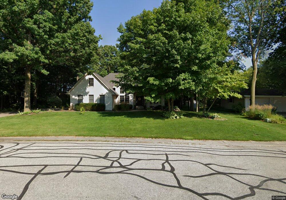
12 Foxwood Dr Unit 12 Saginaw, MI 48638
Estimated Value: $268,000 - $323,000
4
Beds
2
Baths
2,014
Sq Ft
$145/Sq Ft
Est. Value
About This Home
This home is located at 12 Foxwood Dr Unit 12, Saginaw, MI 48638 and is currently estimated at $292,409, approximately $145 per square foot. 12 Foxwood Dr Unit 12 is a home located in Saginaw County with nearby schools including Arrowwood Elementary School, Westdale Elementary School, and White Pine Middle School.
Ownership History
Date
Name
Owned For
Owner Type
Purchase Details
Closed on
Jun 16, 2003
Sold by
Foxwood Development Llc
Bought by
Brable Brable B and Brable Enciso
Current Estimated Value
Home Financials for this Owner
Home Financials are based on the most recent Mortgage that was taken out on this home.
Original Mortgage
$214,200
Interest Rate
4.75%
Mortgage Type
Purchase Money Mortgage
Create a Home Valuation Report for This Property
The Home Valuation Report is an in-depth analysis detailing your home's value as well as a comparison with similar homes in the area
Home Values in the Area
Average Home Value in this Area
Purchase History
| Date | Buyer | Sale Price | Title Company |
|---|---|---|---|
| Brable Brable B | $38,000 | -- | |
| Vrable Brian P | $38,000 | Ltic |
Source: Public Records
Mortgage History
| Date | Status | Borrower | Loan Amount |
|---|---|---|---|
| Previous Owner | Vrable Brian P | $214,200 |
Source: Public Records
Tax History Compared to Growth
Tax History
| Year | Tax Paid | Tax Assessment Tax Assessment Total Assessment is a certain percentage of the fair market value that is determined by local assessors to be the total taxable value of land and additions on the property. | Land | Improvement |
|---|---|---|---|---|
| 2025 | $4,728 | $145,900 | $0 | $0 |
| 2024 | $2,539 | $134,400 | $0 | $0 |
| 2023 | $2,417 | $132,900 | $0 | $0 |
| 2022 | $4,093 | $121,000 | $0 | $0 |
| 2021 | $3,770 | $118,000 | $0 | $0 |
| 2020 | $3,687 | $112,100 | $0 | $0 |
| 2019 | $3,524 | $113,200 | $12,200 | $101,000 |
| 2018 | $1,792 | $121,500 | $0 | $0 |
| 2017 | $3,099 | $122,300 | $0 | $0 |
| 2016 | $3,063 | $111,600 | $0 | $0 |
| 2014 | $2,930 | $103,700 | $0 | $89,600 |
| 2013 | -- | $94,700 | $0 | $0 |
Source: Public Records
Map
Nearby Homes
- 75 Foxwood Dr
- 73 Foxwood Dr
- 74 Foxwood Dr
- 76 Foxwood Dr
- 58 Deer Trail
- 80 Deer Trail
- 79 Deer Trail
- 1900 Bunny Trail
- 70 Bunny Trail
- 72 Bunny Trail
- 71 Bunny Trail
- 69 Bunny Trail
- 68 Bunny Trail
- 67 Bunny Trail
- 62 Bunny Trail
- 63 Bunny Trail
- 1839 Kingston Dr
- 6235 Dewhirst Dr
- 1607 Cranbrook Dr
- 1439 Midland Rd
- 77 Foxwood Dr
- 11 Foxwood Dr Unit 11
- 10 Foxwood Dr Unit 10
- 18 Foxwood Dr Unit 18
- 23 Deer Trail
- 14 Foxwood Dr
- 9 Foxwood Dr Unit 9
- 17 Foxwood Dr
- 6090 Normandy Dr Unit 8
- 1620 Foxwood Dr
- 24 Deer Trail
- 21 Deer Trail
- 6092 Normandy Dr Unit 7
- 76 Deer Trail
- 1610 Foxwood Dr
- 15 Foxwood Dr
- 19 Deer Trail
- 6100 Normandy Dr
- 16 Foxwood Dr
- 6102 Normandy Dr