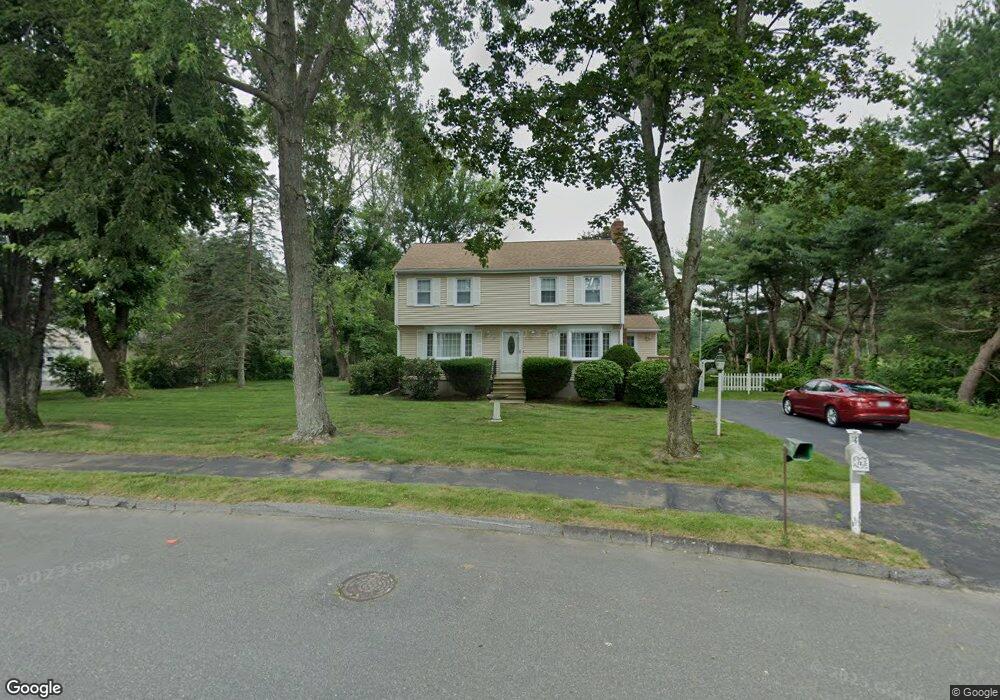
12 Freeport Dr Wilmington, MA 01887
Estimated Value: $777,000 - $850,000
3
Beds
2
Baths
1,666
Sq Ft
$485/Sq Ft
Est. Value
About This Home
This home is located at 12 Freeport Dr, Wilmington, MA 01887 and is currently estimated at $807,881, approximately $484 per square foot. 12 Freeport Dr is a home located in Middlesex County with nearby schools including Wilmington Middle School, Wilmington High School, and N Reading Knowledge Beginnings.
Ownership History
Date
Name
Owned For
Owner Type
Purchase Details
Closed on
Nov 10, 2021
Sold by
Bazzinotti Maria
Bought by
Bazzinotti Rt
Current Estimated Value
Create a Home Valuation Report for This Property
The Home Valuation Report is an in-depth analysis detailing your home's value as well as a comparison with similar homes in the area
Purchase History
| Date | Buyer | Sale Price | Title Company |
|---|---|---|---|
| Bazzinotti Rt | -- | None Available | |
| Bazzinotti Maria | -- | None Available |
Source: Public Records
Tax History
| Year | Tax Paid | Tax Assessment Tax Assessment Total Assessment is a certain percentage of the fair market value that is determined by local assessors to be the total taxable value of land and additions on the property. | Land | Improvement |
|---|---|---|---|---|
| 2025 | $8,704 | $760,200 | $339,500 | $420,700 |
| 2024 | $8,543 | $747,400 | $339,500 | $407,900 |
| 2023 | $7,743 | $648,500 | $288,100 | $360,400 |
| 2022 | $7,275 | $558,300 | $240,000 | $318,300 |
| 2021 | $7,222 | $521,800 | $218,100 | $303,700 |
| 2020 | $6,943 | $511,300 | $218,100 | $293,200 |
| 2019 | $6,821 | $496,100 | $213,200 | $282,900 |
| 2018 | $6,685 | $463,900 | $203,100 | $260,800 |
| 2017 | $6,618 | $458,000 | $203,100 | $254,900 |
| 2016 | $6,194 | $423,400 | $193,600 | $229,800 |
| 2015 | $6,047 | $420,800 | $193,600 | $227,200 |
| 2014 | $5,683 | $399,100 | $184,400 | $214,700 |
Source: Public Records
Map
Nearby Homes
- 11 Hathaway Rd
- 280 Martins Landing Unit 312
- 220 Martins Landing Unit 411
- 220 Martins Landing Unit 410
- 220 Martins Landing Unit 309
- 21 Marcia Rd
- 260 Martins Landing Unit 508
- 230 Martins Landing Unit 209
- 200 Martins Landing Unit 102
- 250 Martins Landing Unit 402
- 300 Martins Landing Unit 505
- 300 Woburn St
- 320 Martins Landing Unit 401
- 320 Martins Landing Unit 310
- 320 Martins Landing Unit 211
- 320 Martins Landing Unit 2410
- 320 Martins Landing Unit 502
- 320 Martins Landing Unit 107
- 320 Martins Landing Unit 404
- 320 Martins Landing Unit 501
Your Personal Tour Guide
Ask me questions while you tour the home.