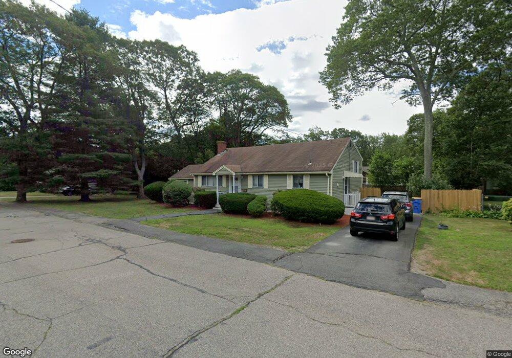
12 Gerald Ave Randolph, MA 02368
South Randolph NeighborhoodEstimated Value: $532,000 - $553,879
3
Beds
2
Baths
1,472
Sq Ft
$371/Sq Ft
Est. Value
About This Home
This home is located at 12 Gerald Ave, Randolph, MA 02368 and is currently estimated at $545,720, approximately $370 per square foot. 12 Gerald Ave is a home located in Norfolk County with nearby schools including Randolph High School and Lighthouse Baptist Christian Academy.
Ownership History
Date
Name
Owned For
Owner Type
Purchase Details
Closed on
Aug 14, 2009
Sold by
Banks Carl E
Bought by
Joseph Jean-Roll
Current Estimated Value
Home Financials for this Owner
Home Financials are based on the most recent Mortgage that was taken out on this home.
Original Mortgage
$225,834
Outstanding Balance
$148,368
Interest Rate
5.36%
Mortgage Type
Purchase Money Mortgage
Estimated Equity
$397,352
Create a Home Valuation Report for This Property
The Home Valuation Report is an in-depth analysis detailing your home's value as well as a comparison with similar homes in the area
Home Values in the Area
Average Home Value in this Area
Purchase History
| Date | Buyer | Sale Price | Title Company |
|---|---|---|---|
| Joseph Jean-Roll | $232,500 | -- |
Source: Public Records
Mortgage History
| Date | Status | Borrower | Loan Amount |
|---|---|---|---|
| Open | Joseph Jean-Roll | $225,834 |
Source: Public Records
Tax History
| Year | Tax Paid | Tax Assessment Tax Assessment Total Assessment is a certain percentage of the fair market value that is determined by local assessors to be the total taxable value of land and additions on the property. | Land | Improvement |
|---|---|---|---|---|
| 2025 | $5,509 | $474,500 | $242,200 | $232,300 |
| 2024 | $5,378 | $469,700 | $237,400 | $232,300 |
| 2023 | $5,039 | $417,100 | $215,800 | $201,300 |
| 2022 | $4,911 | $361,100 | $179,800 | $181,300 |
| 2021 | $4,876 | $329,900 | $150,000 | $179,900 |
| 2020 | $4,901 | $328,700 | $150,000 | $178,700 |
| 2019 | $4,690 | $313,100 | $142,800 | $170,300 |
| 2018 | $4,300 | $270,800 | $132,300 | $138,500 |
| 2017 | $4,314 | $266,600 | $126,000 | $140,600 |
| 2016 | $4,234 | $243,500 | $114,600 | $128,900 |
| 2015 | $4,252 | $234,900 | $109,100 | $125,800 |
Source: Public Records
Map
Nearby Homes
- 20 Selwyn Rd
- 35 Linden Park Dr
- 23 Nightingale Cir
- 7 Oakwood Ave
- 503 Page St
- 0 Payson Ave
- 276 Center St
- 5 Patterson Ave E
- 631 Page St
- 59 Highland Glen Dr Unit 328
- 314 South St
- 159 Bittersweet Ln Unit 107
- 4 Evan Cain Way
- 747 S Main St
- 405 South St
- 6 Eagle Rd
- 327 Union St
- 28 Silver St
- 8 Plain St
- 17 Mazzeo Dr
- 14 Gerald Ave
- 29 Stoughton St
- 31 Stoughton St
- 10 Gerald Ave
- 11 Gerald Ave
- 33 Stoughton St
- 27 Stoughton St
- 15 Gerald Ave
- 16 Gerald Ave
- 9 Gerald Ave
- 18 Gerald Ave
- 25 Stoughton St
- 17 Gerald Ave
- 28 Stoughton St Unit B
- 28 Stoughton St Unit A
- 8 Gerald Ave
- 12 Virginia Cir
- 10 Virginia Cir
- 24 Stoughton St Unit B
- 24 Stoughton St Unit A