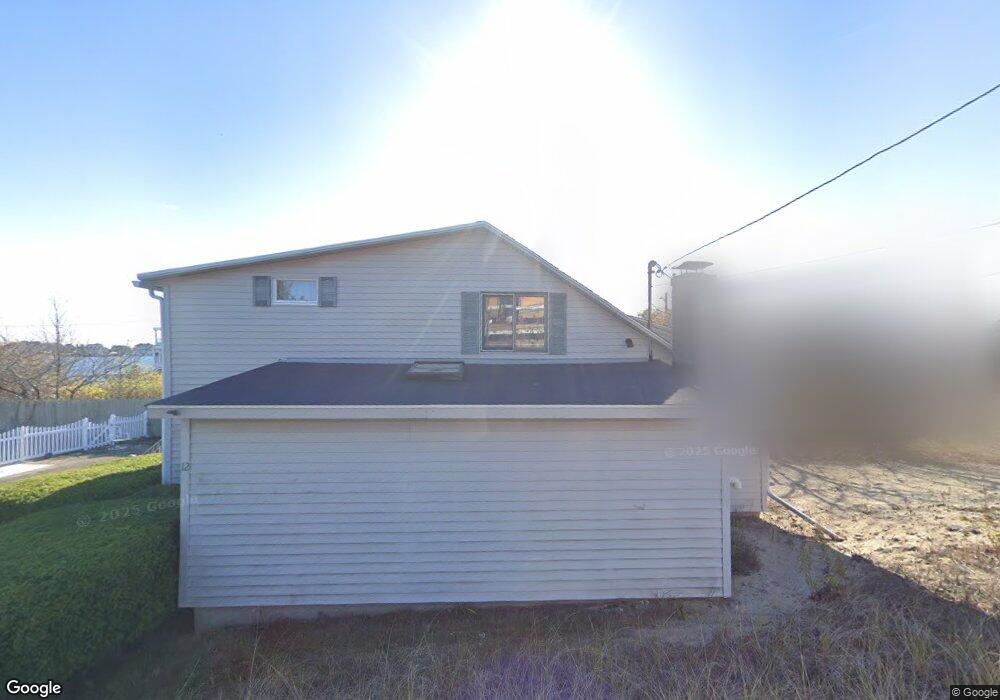
12 Gloria St Newburyport, MA 01950
Estimated Value: $829,000 - $1,203,000
3
Beds
1
Bath
1,550
Sq Ft
$685/Sq Ft
Est. Value
About This Home
This home is located at 12 Gloria St, Newburyport, MA 01950 and is currently estimated at $1,061,808, approximately $685 per square foot. 12 Gloria St is a home located in Essex County with nearby schools including Francis T. Bresnahan Elementary School, Edward G. Molin Elementary School, and Rupert A. Nock Middle School.
Ownership History
Date
Name
Owned For
Owner Type
Purchase Details
Closed on
Apr 6, 2010
Sold by
Duffin Christine E
Bought by
Pelletier James E and Pelletier Nancy Frankel
Current Estimated Value
Purchase Details
Closed on
Apr 30, 2004
Sold by
Leblanc Leonard C and Heil Sheila M
Bought by
Duffin Christine E
Create a Home Valuation Report for This Property
The Home Valuation Report is an in-depth analysis detailing your home's value as well as a comparison with similar homes in the area
Home Values in the Area
Average Home Value in this Area
Purchase History
| Date | Buyer | Sale Price | Title Company |
|---|---|---|---|
| Pelletier James E | $252,000 | -- | |
| Duffin Christine E | $437,500 | -- |
Source: Public Records
Mortgage History
| Date | Status | Borrower | Loan Amount |
|---|---|---|---|
| Previous Owner | Duffin Christine E | $144,123 | |
| Previous Owner | Duffin Christine E | $128,220 | |
| Previous Owner | Duffin Christine E | $83,570 | |
| Previous Owner | Duffin Christine E | $52,404 |
Source: Public Records
Tax History Compared to Growth
Tax History
| Year | Tax Paid | Tax Assessment Tax Assessment Total Assessment is a certain percentage of the fair market value that is determined by local assessors to be the total taxable value of land and additions on the property. | Land | Improvement |
|---|---|---|---|---|
| 2025 | $8,812 | $919,800 | $506,200 | $413,600 |
| 2024 | $8,350 | $837,500 | $460,200 | $377,300 |
| 2023 | $7,974 | $742,500 | $365,200 | $377,300 |
| 2022 | $7,504 | $624,800 | $304,300 | $320,500 |
| 2021 | $7,541 | $596,600 | $300,700 | $295,900 |
| 2020 | $7,488 | $583,200 | $300,700 | $282,500 |
| 2019 | $7,198 | $550,300 | $288,700 | $261,600 |
| 2018 | $7,057 | $532,200 | $275,000 | $257,200 |
| 2017 | $6,881 | $511,600 | $261,900 | $249,700 |
| 2016 | $6,931 | $517,600 | $259,800 | $257,800 |
| 2015 | $6,639 | $497,700 | $259,800 | $237,900 |
Source: Public Records
Map
Nearby Homes
- 7 Davoli Way
- 163 Old Point Rd
- 4 54th St
- 10 61st St Unit 10
- 12 53rd St
- 5 Harbor St
- 11 Harbor St
- 12 63rd St
- 12 Barker St
- 11 71st St
- 11 Sunset Dr
- 28 & 30 Plum Island Turnpike
- 2 Sunset Dr
- 65 Plum Island Turnpike
- 10 Meadowview Ln Unit B
- 14 Fordham Way
- 3 Riverview Dr
- 42 Riverview Dr
- 141 Atlantic Ave
- 4 Goodwin Ave