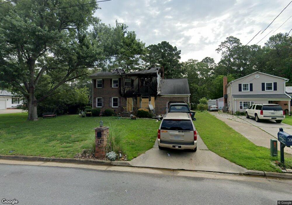
12 Hansom Dr Poquoson, VA 23662
Poquoson Shores NeighborhoodEstimated Value: $218,000 - $412,912
3
Beds
3
Baths
2,156
Sq Ft
$168/Sq Ft
Est. Value
About This Home
This home is located at 12 Hansom Dr, Poquoson, VA 23662 and is currently estimated at $361,728, approximately $167 per square foot. 12 Hansom Dr is a home located in Poquoson City with nearby schools including Emmanuel Lutheran School and Summit Christian Academy - Upper School.
Ownership History
Date
Name
Owned For
Owner Type
Purchase Details
Closed on
Oct 6, 2010
Sold by
Federal Home Loan Mortgage Corporation
Bought by
Orehowsky Chad
Current Estimated Value
Home Financials for this Owner
Home Financials are based on the most recent Mortgage that was taken out on this home.
Original Mortgage
$206,222
Outstanding Balance
$135,390
Interest Rate
4.25%
Mortgage Type
FHA
Estimated Equity
$226,338
Purchase Details
Closed on
Oct 29, 2001
Sold by
Hoiberg Marsha P
Bought by
Rabon Ralph D
Home Financials for this Owner
Home Financials are based on the most recent Mortgage that was taken out on this home.
Original Mortgage
$118,400
Interest Rate
6.82%
Create a Home Valuation Report for This Property
The Home Valuation Report is an in-depth analysis detailing your home's value as well as a comparison with similar homes in the area
Home Values in the Area
Average Home Value in this Area
Purchase History
| Date | Buyer | Sale Price | Title Company |
|---|---|---|---|
| Orehowsky Chad | $209,000 | -- | |
| Rabon Ralph D | $148,000 | -- |
Source: Public Records
Mortgage History
| Date | Status | Borrower | Loan Amount |
|---|---|---|---|
| Open | Orehowsky Chad | $206,222 | |
| Previous Owner | Rabon Ralph D | $118,400 |
Source: Public Records
Tax History Compared to Growth
Tax History
| Year | Tax Paid | Tax Assessment Tax Assessment Total Assessment is a certain percentage of the fair market value that is determined by local assessors to be the total taxable value of land and additions on the property. | Land | Improvement |
|---|---|---|---|---|
| 2024 | $1,890 | $165,800 | $121,200 | $44,600 |
| 2023 | $3,625 | $326,600 | $121,200 | $205,400 |
| 2022 | $3,413 | $302,000 | $121,200 | $180,800 |
| 2021 | $3,413 | $302,000 | $121,200 | $180,800 |
| 2020 | $0 | $279,300 | $121,200 | $158,100 |
| 2019 | -- | $279,300 | $121,200 | $158,100 |
| 2018 | -- | $270,200 | $121,200 | $149,000 |
| 2017 | -- | $261,200 | $121,200 | $140,000 |
| 2016 | -- | $261,200 | $121,200 | $140,000 |
| 2015 | -- | $276,500 | $127,500 | $149,000 |
| 2013 | -- | $276,500 | $127,500 | $149,000 |
Source: Public Records
Map
Nearby Homes
- 28 Pasture Rd
- 8 Wornom Farm Rd
- 11 Dorothy Dr
- 11 Valmoore Dr
- 41 W Sandy Point Rd
- 240 Hunts Neck Rd
- 11 Bull Run
- 15+AC Browns Neck Rd
- 40 Valmoore Dr
- 29 River Rd
- 35 River Rd
- 8 Harbour View Dr
- 1 Phillips Rd
- 15 Pickins Dr
- 103 Darden Dr
- 20 Pickins Dr
- 105 Rens Rd Unit 30
- 105 Rens Rd Unit 2
- 105 Rens Rd Unit 74
- 105 Rens Rd Unit Lot 48