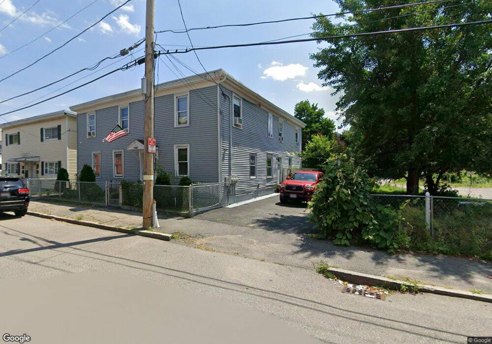
12 Harmony Way Lowell, MA 01852
Back Central NeighborhoodEstimated Value: $280,900 - $424,000
4
Beds
2
Baths
1,049
Sq Ft
$338/Sq Ft
Est. Value
About This Home
This home is located at 12 Harmony Way, Lowell, MA 01852 and is currently estimated at $354,725, approximately $338 per square foot. 12 Harmony Way is a home located in Middlesex County with nearby schools including Moody Elementary School, Abraham Lincoln Elementary School, and Greenhalge Elementary School.
Ownership History
Date
Name
Owned For
Owner Type
Purchase Details
Closed on
Feb 7, 2017
Sold by
Chieh Patrick and Chieh Elizabeth
Bought by
Nyinprun T
Current Estimated Value
Purchase Details
Closed on
Nov 22, 2004
Sold by
Habitat For Humanity L
Bought by
Chieh Elizabeth and Chieh Patrick
Home Financials for this Owner
Home Financials are based on the most recent Mortgage that was taken out on this home.
Original Mortgage
$107,000
Interest Rate
5.8%
Mortgage Type
Purchase Money Mortgage
Create a Home Valuation Report for This Property
The Home Valuation Report is an in-depth analysis detailing your home's value as well as a comparison with similar homes in the area
Home Values in the Area
Average Home Value in this Area
Purchase History
| Date | Buyer | Sale Price | Title Company |
|---|---|---|---|
| Nyinprun T | -- | -- | |
| Chieh Elizabeth | $175,000 | -- |
Source: Public Records
Mortgage History
| Date | Status | Borrower | Loan Amount |
|---|---|---|---|
| Previous Owner | Chieh Elizabeth | $107,000 |
Source: Public Records
Tax History
| Year | Tax Paid | Tax Assessment Tax Assessment Total Assessment is a certain percentage of the fair market value that is determined by local assessors to be the total taxable value of land and additions on the property. | Land | Improvement |
|---|---|---|---|---|
| 2025 | $1,910 | $166,400 | $0 | $166,400 |
| 2024 | $1,918 | $161,000 | $0 | $161,000 |
| 2023 | $1,889 | $152,100 | $0 | $152,100 |
| 2022 | $1,930 | $152,100 | $0 | $152,100 |
| 2021 | $1,728 | $128,400 | $0 | $128,400 |
| 2020 | $1,866 | $139,700 | $0 | $139,700 |
| 2019 | $1,942 | $138,300 | $0 | $138,300 |
| 2018 | $2,488 | $172,900 | $0 | $172,900 |
| 2017 | $2,430 | $162,900 | $0 | $162,900 |
| 2016 | $1,916 | $126,400 | $0 | $126,400 |
| 2015 | $1,845 | $119,200 | $0 | $119,200 |
| 2013 | $1,732 | $115,400 | $0 | $115,400 |
Source: Public Records
Map
Nearby Homes
- 39 Groves Ave
- 88 Perry St
- 80 Rogers St Unit 204
- 31 Merrill St
- 278-316 Middlesex St
- 30 Market St Unit 7
- 5 Floyd St
- 8 Cedar Ct
- 10 Kearney Square Unit 407
- 61 Market St Unit 2B
- 95 S Highland St
- 23-33 Middle St Unit 6
- 23-33 Middle St Unit 21
- 23-33 Middle St Unit 11
- 9 Central St Unit 601
- 9 Central St Unit 602
- 7 Butler Ave Unit 5
- 254 Pleasant St
- 191 Thorndike St Unit 26
- 200 Rogers St Unit 6
Your Personal Tour Guide
Ask me questions while you tour the home.