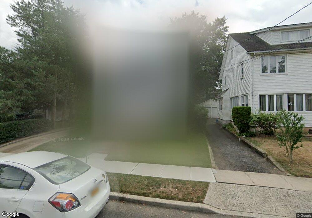
12 Hawthorne St West Hempstead, NY 11552
Estimated Value: $698,000 - $759,989
3
Beds
2
Baths
1,518
Sq Ft
$480/Sq Ft
Est. Value
About This Home
This home is located at 12 Hawthorne St, West Hempstead, NY 11552 and is currently estimated at $728,995, approximately $480 per square foot. 12 Hawthorne St is a home located in Nassau County with nearby schools including Chestnut Street School, West Hempstead Secondary School, and Hebrew Academy of Nassau County (HANC).
Ownership History
Date
Name
Owned For
Owner Type
Purchase Details
Closed on
Jun 13, 2018
Sold by
Brew Matthew and Brew Natalie
Bought by
Rivas Roy and Smart Luwisa
Current Estimated Value
Home Financials for this Owner
Home Financials are based on the most recent Mortgage that was taken out on this home.
Original Mortgage
$432,030
Outstanding Balance
$381,619
Interest Rate
5.5%
Mortgage Type
FHA
Estimated Equity
$347,376
Purchase Details
Closed on
Jul 31, 2001
Sold by
Wilson George
Bought by
Brew Matthew
Create a Home Valuation Report for This Property
The Home Valuation Report is an in-depth analysis detailing your home's value as well as a comparison with similar homes in the area
Home Values in the Area
Average Home Value in this Area
Purchase History
| Date | Buyer | Sale Price | Title Company |
|---|---|---|---|
| Rivas Roy | $440,000 | Fidelity National Title | |
| Brew Matthew | $270,000 | Rocco Iacoviello |
Source: Public Records
Mortgage History
| Date | Status | Borrower | Loan Amount |
|---|---|---|---|
| Open | Rivas Roy | $432,030 |
Source: Public Records
Tax History Compared to Growth
Tax History
| Year | Tax Paid | Tax Assessment Tax Assessment Total Assessment is a certain percentage of the fair market value that is determined by local assessors to be the total taxable value of land and additions on the property. | Land | Improvement |
|---|---|---|---|---|
| 2025 | $12,129 | $435 | $212 | $223 |
| 2024 | $3,865 | $451 | $220 | $231 |
| 2023 | $12,012 | $450 | $220 | $230 |
| 2022 | $12,012 | $461 | $225 | $236 |
| 2021 | $16,778 | $440 | $197 | $243 |
| 2020 | $12,474 | $787 | $605 | $182 |
| 2019 | $4,274 | $787 | $605 | $182 |
| 2018 | $4,062 | $787 | $0 | $0 |
| 2017 | $7,018 | $787 | $605 | $182 |
| 2016 | $10,925 | $787 | $605 | $182 |
| 2015 | $3,635 | $787 | $605 | $182 |
| 2014 | $3,635 | $787 | $605 | $182 |
| 2013 | $3,390 | $787 | $605 | $182 |
Source: Public Records
Map
Nearby Homes
- 582 Gaynor Place
- 518 Nassau Blvd
- 686 Tanwood Dr
- 600 Dogwood Ave
- 635 Hempstead Ave
- 613 Adams Ave
- 771 Maple Place
- 757 Harrison St
- 853 Arthur St
- 590 Langley Ave
- 899 Cleveland St
- 708 Anderson Ave
- 726 Meisser St
- 321 Oakford St
- 350 Paul Place
- 576 Western Park Dr
- 537 Madison Ave
- 19 Richard St
- 303 Nassau Blvd
- 791 Caryl St
- 14 Hawthorne St
- 585 Hawthorne St
- 38 Hawthorne St
- 590 Gaynor Place
- 598 Gaynor Place
- 40 Hawthorne St
- 581 Hawthorne St
- 604 Gaynor Place
- 594 Hawthorne St
- 588 Hawthorne St
- 575 Hawthorne St
- 615 Hawthorne St
- 585 Euclid Ave
- 576 Gaynor Place
- 41 Hawthorne St
- 582 Hawthorne St
- 616 Gaynor Place
- 20 Hawthorne St
- 20 Hawthorne St
- 18 Hawthorne St