Estimated Value: $782,000 - $866,000
3
Beds
3
Baths
1,410
Sq Ft
$584/Sq Ft
Est. Value
About This Home
This home is located at 12 Heald Rd, Acton, MA 01720 and is currently estimated at $823,171, approximately $583 per square foot. 12 Heald Rd is a home located in Middlesex County with nearby schools including Acton-Boxborough Regional High School.
Ownership History
Date
Name
Owned For
Owner Type
Purchase Details
Closed on
Jun 30, 1999
Sold by
Huang Rose and Huang Ching-I
Bought by
Szu Yi-Ping and Zhang Dongning
Current Estimated Value
Home Financials for this Owner
Home Financials are based on the most recent Mortgage that was taken out on this home.
Original Mortgage
$236,000
Outstanding Balance
$64,175
Interest Rate
7.19%
Mortgage Type
Purchase Money Mortgage
Estimated Equity
$758,996
Create a Home Valuation Report for This Property
The Home Valuation Report is an in-depth analysis detailing your home's value as well as a comparison with similar homes in the area
Home Values in the Area
Average Home Value in this Area
Purchase History
| Date | Buyer | Sale Price | Title Company |
|---|---|---|---|
| Szu Yi-Ping | $302,000 | -- |
Source: Public Records
Mortgage History
| Date | Status | Borrower | Loan Amount |
|---|---|---|---|
| Open | Szu Yi-Ping | $236,000 | |
| Previous Owner | Szu Yi-Ping | $153,000 | |
| Previous Owner | Szu Yi-Ping | $160,000 |
Source: Public Records
Tax History Compared to Growth
Tax History
| Year | Tax Paid | Tax Assessment Tax Assessment Total Assessment is a certain percentage of the fair market value that is determined by local assessors to be the total taxable value of land and additions on the property. | Land | Improvement |
|---|---|---|---|---|
| 2025 | $11,912 | $694,600 | $368,300 | $326,300 |
| 2024 | $11,472 | $688,200 | $368,300 | $319,900 |
| 2023 | $11,244 | $640,300 | $335,300 | $305,000 |
| 2022 | $10,890 | $559,900 | $291,400 | $268,500 |
| 2021 | $10,246 | $506,500 | $269,500 | $237,000 |
| 2020 | $9,745 | $506,500 | $269,500 | $237,000 |
| 2019 | $9,344 | $482,400 | $269,500 | $212,900 |
| 2018 | $8,899 | $459,200 | $269,500 | $189,700 |
| 2017 | $8,592 | $450,800 | $269,500 | $181,300 |
| 2016 | $8,382 | $435,900 | $269,500 | $166,400 |
| 2015 | $8,169 | $428,800 | $269,500 | $159,300 |
| 2014 | $8,099 | $416,400 | $269,500 | $146,900 |
Source: Public Records
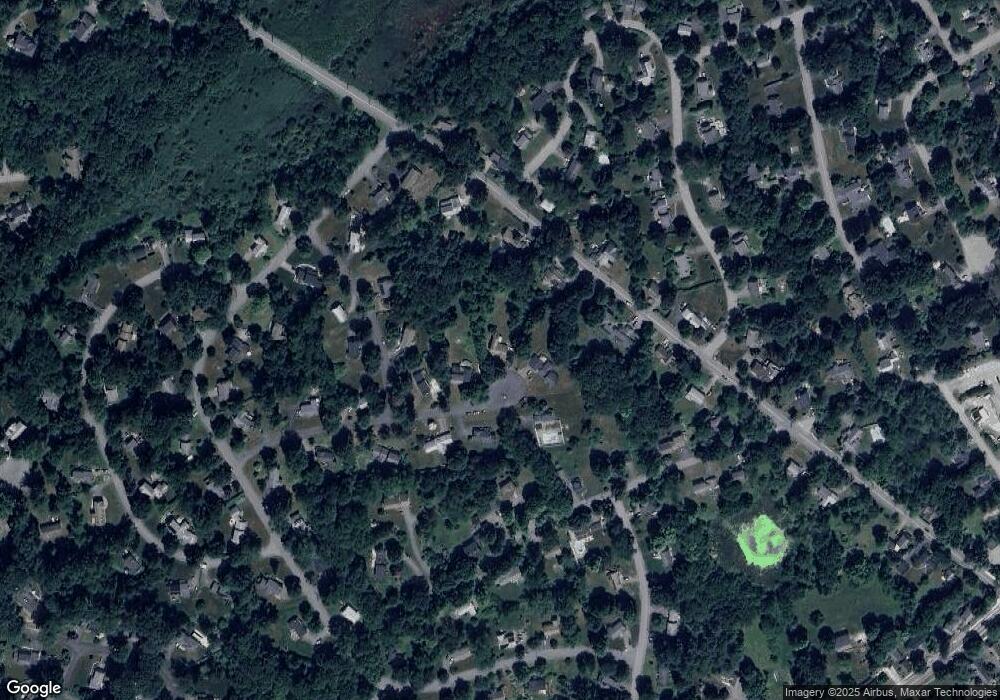
Map
Nearby Homes
- 23 John Swift Rd
- 491 Main St
- 524 Main St
- 709 Main St
- 37 Hosmer St
- 209 Great Rd Unit C1
- 5 Oakwood Rd
- 11 Horseshoe Dr
- 159 Skyline Dr Unit 159
- 4 Huron Rd
- 8 Laurel Ct
- 16 Wampus Ave Unit 32
- 1 Bayberry Rd
- 386 Great Rd Unit A8
- 7 Blue Heron Way
- 169 Main St
- 390 Great Rd Unit A2
- 31 Mohawk Dr
- 6 Bittersweet Ln
- 86 School St