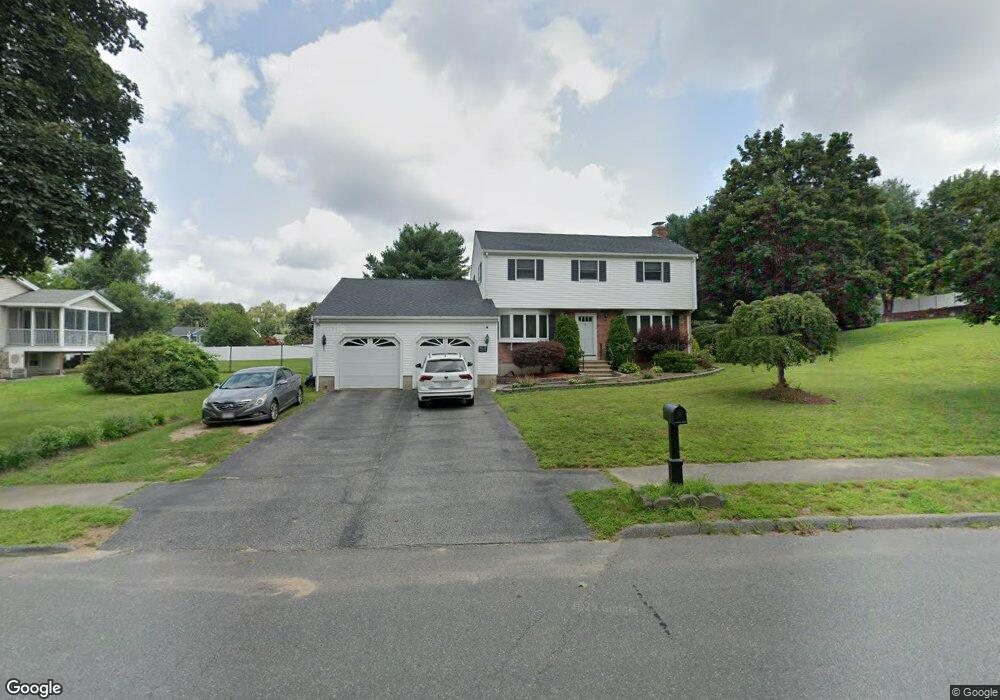
12 Heather Dr Wilmington, MA 01887
Estimated Value: $873,719 - $987,000
4
Beds
2
Baths
2,040
Sq Ft
$463/Sq Ft
Est. Value
About This Home
This home is located at 12 Heather Dr, Wilmington, MA 01887 and is currently estimated at $944,430, approximately $462 per square foot. 12 Heather Dr is a home located in Middlesex County with nearby schools including Wilmington Middle School, Wilmington High School, and N Reading Knowledge Beginnings.
Ownership History
Date
Name
Owned For
Owner Type
Purchase Details
Closed on
Jan 19, 2001
Sold by
Bjork Paul H and Bjork Kathryn W
Bought by
Stickle Janet L
Current Estimated Value
Create a Home Valuation Report for This Property
The Home Valuation Report is an in-depth analysis detailing your home's value as well as a comparison with similar homes in the area
Home Values in the Area
Average Home Value in this Area
Purchase History
| Date | Buyer | Sale Price | Title Company |
|---|---|---|---|
| Stickle Janet L | $375,000 | -- |
Source: Public Records
Mortgage History
| Date | Status | Borrower | Loan Amount |
|---|---|---|---|
| Open | Stickle Janet L | $250,000 | |
| Closed | Stickle Janet L | $214,000 |
Source: Public Records
Tax History Compared to Growth
Tax History
| Year | Tax Paid | Tax Assessment Tax Assessment Total Assessment is a certain percentage of the fair market value that is determined by local assessors to be the total taxable value of land and additions on the property. | Land | Improvement |
|---|---|---|---|---|
| 2025 | $9,371 | $818,400 | $341,200 | $477,200 |
| 2024 | $9,189 | $803,900 | $341,200 | $462,700 |
| 2023 | $8,341 | $698,600 | $289,500 | $409,100 |
| 2022 | $7,856 | $602,900 | $241,200 | $361,700 |
| 2021 | $7,820 | $565,000 | $219,200 | $345,800 |
| 2020 | $7,559 | $556,600 | $219,200 | $337,400 |
| 2019 | $7,450 | $541,800 | $214,400 | $327,400 |
| 2018 | $7,315 | $507,600 | $204,200 | $303,400 |
| 2017 | $7,238 | $500,900 | $204,200 | $296,700 |
| 2016 | $6,763 | $462,300 | $194,600 | $267,700 |
| 2015 | $6,557 | $456,300 | $194,600 | $261,700 |
| 2014 | $6,109 | $429,000 | $185,400 | $243,600 |
Source: Public Records
Map
Nearby Homes
- 3 Gordon Rd
- 220 Martins Landing Unit 309
- 260 Martins Landing Unit 508
- 260 Martins Landing Unit 103
- 200 Martins Landing Unit 102
- 320 Martins Landing Unit 311
- 320 Martins Landing Unit 108
- 320 Martins Landing Unit 109
- 320 Martins Landing Unit 110
- 320 Martins Landing Unit 303
- 320 Martins Landing Unit 102
- 320 Martins Landing Unit 103
- 320 Martins Landing Unit 403
- 320 Martins Landing Unit 210
- 320 Martins Landing Unit 2201
- 320 Martins Landing Unit 112
- 320 Martins Landing Unit 206
- 320 Martins Landing Unit 406
- 320 Martins Landing Unit 302
- 320 Martins Landing Unit 212