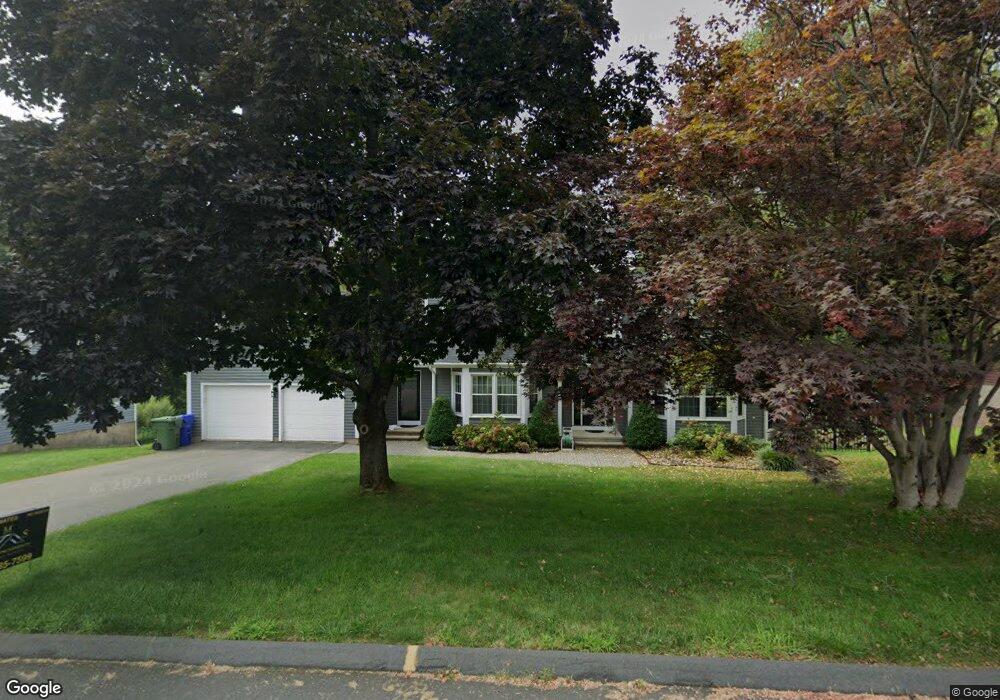
12 High Ridge Rd Cromwell, CT 06416
Estimated Value: $731,856 - $792,000
6
Beds
4
Baths
3,217
Sq Ft
$234/Sq Ft
Est. Value
About This Home
This home is located at 12 High Ridge Rd, Cromwell, CT 06416 and is currently estimated at $754,214, approximately $234 per square foot. 12 High Ridge Rd is a home located in Middlesex County with nearby schools including Edna C. Stevens School, Woodside Intermediate School, and Cromwell Middle School.
Ownership History
Date
Name
Owned For
Owner Type
Purchase Details
Closed on
Mar 6, 2009
Sold by
Casey James M and Casey Marsha L
Bought by
Lamb Aaron S and Lamb Jessica R
Current Estimated Value
Purchase Details
Closed on
Jun 26, 1996
Sold by
Rothman Barry A and Rothman Alice
Bought by
Casey James M and Casey Marsha L
Create a Home Valuation Report for This Property
The Home Valuation Report is an in-depth analysis detailing your home's value as well as a comparison with similar homes in the area
Home Values in the Area
Average Home Value in this Area
Purchase History
| Date | Buyer | Sale Price | Title Company |
|---|---|---|---|
| Lamb Aaron S | $417,000 | -- | |
| Casey James M | $240,000 | -- | |
| Lamb Aaron S | $417,000 | -- | |
| Casey James M | $240,000 | -- |
Source: Public Records
Mortgage History
| Date | Status | Borrower | Loan Amount |
|---|---|---|---|
| Open | Casey James M | $338,000 | |
| Closed | Casey James M | $321,000 |
Source: Public Records
Tax History Compared to Growth
Tax History
| Year | Tax Paid | Tax Assessment Tax Assessment Total Assessment is a certain percentage of the fair market value that is determined by local assessors to be the total taxable value of land and additions on the property. | Land | Improvement |
|---|---|---|---|---|
| 2025 | $11,001 | $357,280 | $98,980 | $258,300 |
| 2024 | $9,832 | $326,970 | $98,980 | $227,990 |
| 2023 | $9,616 | $326,970 | $98,980 | $227,990 |
| 2022 | $8,884 | $266,560 | $89,530 | $177,030 |
| 2021 | $8,884 | $266,560 | $89,530 | $177,030 |
| 2020 | $8,751 | $266,560 | $89,530 | $177,030 |
| 2019 | $8,751 | $266,560 | $89,530 | $177,030 |
| 2018 | $8,751 | $266,560 | $89,530 | $177,030 |
| 2017 | $9,045 | $266,590 | $93,890 | $172,700 |
| 2016 | $8,965 | $266,590 | $93,890 | $172,700 |
| 2015 | $8,366 | $266,590 | $93,890 | $172,700 |
| 2014 | $8,872 | $266,590 | $93,890 | $172,700 |
Source: Public Records
Map
Nearby Homes
- 8 Mohawk Ct
- 30 Larkspur Dr
- 58 Blackhaw Dr
- 15 Oxford Ln
- 18 W Street Terrace
- 92 Woodland Dr Unit 92
- 96 Woodland Dr Unit 96
- 188 Woodland Dr
- 5 Shelley St
- 165 Woodland Dr Unit 165
- 3 W Street Heights
- 6 Juniper Hill Ct Unit 6
- 148 Evergreen Rd
- 9 Bayberry Ct
- 24 Iron Gate Ln
- 20 Evergreen Rd
- 7 Willow Ct Unit 7
- 22 Linda Ct Unit 22
- 2 Birch Ct Unit 2
- 5 Chestnut Ct Unit 5
- 10 High Ridge Rd
- 14 High Ridge Rd
- 7 Old Colony Ln
- 8 High Ridge Rd
- 16 High Ridge Rd
- 15 High Ridge Rd
- 5 Old Colony Ln
- 6 High Ridge Rd
- 18 High Ridge Rd
- 13 High Ridge Rd
- 17 High Ridge Rd
- 11 High Ridge Rd
- 9 High Ridge Rd
- 4 High Ridge Rd
- 10 Windwood Dr
- 3 Old Colony Ln
- 20 High Ridge Rd
- 7 High Ridge Rd
- 8 Windwood Dr
- 8 Old Colony Ln