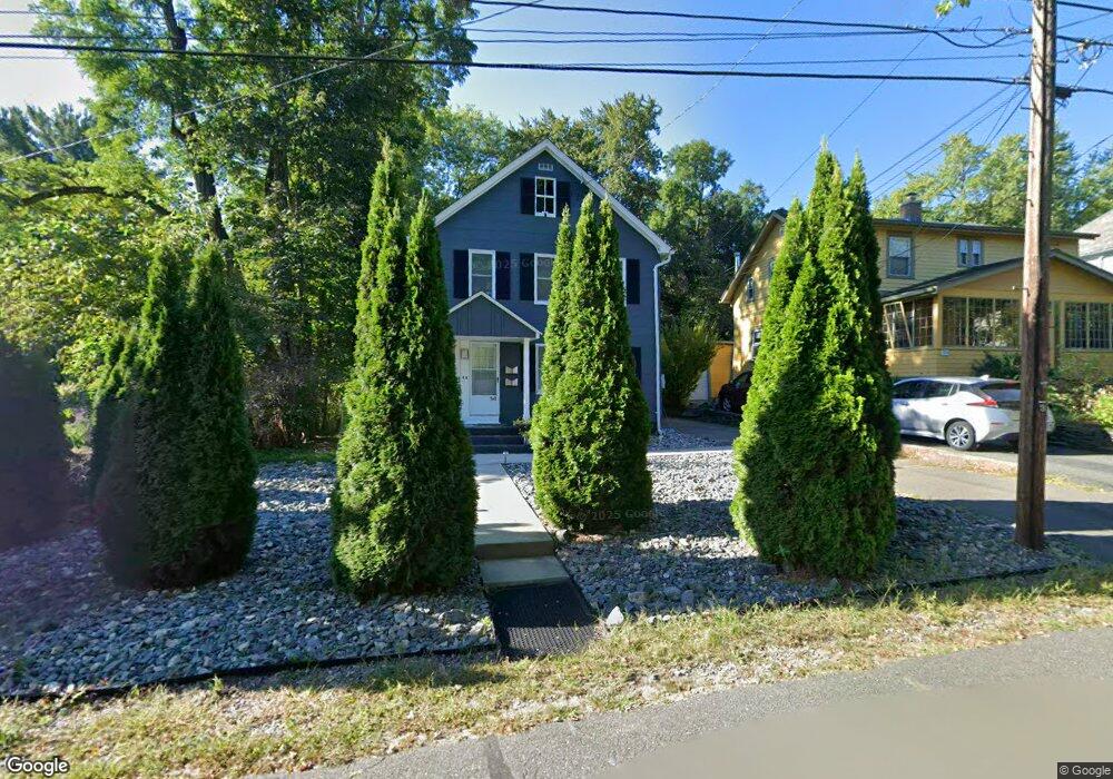
12 High St Florence, MA 01062
Florence NeighborhoodEstimated Value: $496,000 - $567,000
2
Beds
2
Baths
1,364
Sq Ft
$387/Sq Ft
Est. Value
About This Home
This home is located at 12 High St, Florence, MA 01062 and is currently estimated at $527,448, approximately $386 per square foot. 12 High St is a home located in Hampshire County with nearby schools including Northampton High School, The Montessori School of Northampton, and Lander Grinspoon Academy.
Ownership History
Date
Name
Owned For
Owner Type
Purchase Details
Closed on
Jun 1, 2009
Sold by
Cook Beverlee S and Cook Andrew B
Bought by
Brunski Christophe D
Current Estimated Value
Home Financials for this Owner
Home Financials are based on the most recent Mortgage that was taken out on this home.
Original Mortgage
$176,330
Outstanding Balance
$112,007
Interest Rate
4.87%
Mortgage Type
Purchase Money Mortgage
Estimated Equity
$415,441
Purchase Details
Closed on
Mar 2, 2005
Sold by
Rodenhizer Kurt J
Bought by
Cook Andrew B and Cook Beverlee S
Home Financials for this Owner
Home Financials are based on the most recent Mortgage that was taken out on this home.
Original Mortgage
$172,000
Interest Rate
5.66%
Mortgage Type
Purchase Money Mortgage
Purchase Details
Closed on
Sep 6, 1991
Sold by
Forrestall Holly A
Bought by
Rodenhizer Kurt J
Home Financials for this Owner
Home Financials are based on the most recent Mortgage that was taken out on this home.
Original Mortgage
$115,669
Interest Rate
9.43%
Mortgage Type
Purchase Money Mortgage
Create a Home Valuation Report for This Property
The Home Valuation Report is an in-depth analysis detailing your home's value as well as a comparison with similar homes in the area
Home Values in the Area
Average Home Value in this Area
Purchase History
| Date | Buyer | Sale Price | Title Company |
|---|---|---|---|
| Brunski Christophe D | $229,000 | -- | |
| Cook Andrew B | $215,000 | -- | |
| Rodenhizer Kurt J | $114,500 | -- |
Source: Public Records
Mortgage History
| Date | Status | Borrower | Loan Amount |
|---|---|---|---|
| Open | Brunski Christophe D | $176,330 | |
| Closed | Rodenhizer Kurt J | $45,800 | |
| Previous Owner | Cook Andrew B | $172,000 | |
| Previous Owner | Rodenhizer Kurt J | $115,669 |
Source: Public Records
Tax History
| Year | Tax Paid | Tax Assessment Tax Assessment Total Assessment is a certain percentage of the fair market value that is determined by local assessors to be the total taxable value of land and additions on the property. | Land | Improvement |
|---|---|---|---|---|
| 2025 | $6,026 | $432,600 | $163,000 | $269,600 |
| 2024 | $4,994 | $328,800 | $142,200 | $186,600 |
| 2023 | $4,345 | $274,300 | $129,300 | $145,000 |
| 2022 | $5,036 | $281,500 | $120,800 | $160,700 |
| 2021 | $4,422 | $254,600 | $115,000 | $139,600 |
| 2020 | $4,277 | $254,600 | $115,000 | $139,600 |
| 2019 | $3,842 | $221,200 | $115,000 | $106,200 |
| 2018 | $3,563 | $209,100 | $115,000 | $94,100 |
| 2017 | $3,490 | $209,100 | $115,000 | $94,100 |
| 2016 | $3,379 | $209,100 | $115,000 | $94,100 |
| 2015 | $3,656 | $231,400 | $124,400 | $107,000 |
| 2014 | $3,561 | $231,400 | $124,400 | $107,000 |
Source: Public Records
Map
Nearby Homes
- 575 Bridge Rd Unit 11-8
- 575 Bridge Rd Unit 8-5
- 575 Bridge Rd Unit 12-7
- 575 Bridge Rd Unit 10-5
- 32 Stilson Ave
- 44 Sheffield Ln
- 76 Maple St
- 14 Meadow St
- 67 Park St Unit A
- 33 Landy Ave
- 31 Lilly St
- 37 Landy Ave
- 41 Landy Ave
- 0 Terrace Ln
- 22 Lilly St
- 492 Elm St
- 63 Riverside Dr
- 61 Woodlawn Ave
- 42 Clark St
- 61 Harrison Ave
Your Personal Tour Guide
Ask me questions while you tour the home.