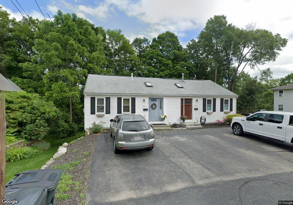
12 High St Unit 2 North Grafton, MA 01536
Estimated Value: $318,333 - $556,000
2
Beds
2
Baths
598
Sq Ft
$654/Sq Ft
Est. Value
About This Home
This home is located at 12 High St Unit 2, North Grafton, MA 01536 and is currently estimated at $391,083, approximately $653 per square foot. 12 High St Unit 2 is a home located in Worcester County with nearby schools including Grafton High School, Silver Spruce Montessori School, and Al-Hamra Academy.
Ownership History
Date
Name
Owned For
Owner Type
Purchase Details
Closed on
Feb 27, 1998
Sold by
Carlin Eugene H and Carlin Grace A
Bought by
Markt Donald E
Current Estimated Value
Home Financials for this Owner
Home Financials are based on the most recent Mortgage that was taken out on this home.
Original Mortgage
$77,000
Interest Rate
6.85%
Mortgage Type
Purchase Money Mortgage
Create a Home Valuation Report for This Property
The Home Valuation Report is an in-depth analysis detailing your home's value as well as a comparison with similar homes in the area
Home Values in the Area
Average Home Value in this Area
Purchase History
| Date | Buyer | Sale Price | Title Company |
|---|---|---|---|
| Markt Donald E | $86,000 | -- |
Source: Public Records
Mortgage History
| Date | Status | Borrower | Loan Amount |
|---|---|---|---|
| Open | Markt Donald E | $147,600 | |
| Closed | Markt Donald E | $77,000 |
Source: Public Records
Tax History Compared to Growth
Tax History
| Year | Tax Paid | Tax Assessment Tax Assessment Total Assessment is a certain percentage of the fair market value that is determined by local assessors to be the total taxable value of land and additions on the property. | Land | Improvement |
|---|---|---|---|---|
| 2025 | $3,796 | $272,300 | $0 | $272,300 |
| 2024 | $3,723 | $260,200 | $0 | $260,200 |
| 2023 | $3,605 | $229,500 | $0 | $229,500 |
| 2022 | $3,585 | $212,400 | $0 | $212,400 |
| 2021 | $3,591 | $209,000 | $0 | $209,000 |
| 2020 | $3,132 | $189,800 | $0 | $189,800 |
| 2019 | $3,462 | $207,800 | $0 | $207,800 |
| 2018 | $2,338 | $140,900 | $0 | $140,900 |
| 2017 | $2,206 | $134,500 | $0 | $134,500 |
| 2016 | $2,127 | $127,000 | $0 | $127,000 |
| 2015 | $1,602 | $97,100 | $0 | $97,100 |
| 2014 | $1,482 | $97,100 | $0 | $97,100 |
Source: Public Records
Map
Nearby Homes
- 17 Hingham Rd
- 11 Hovey Pond Dr Unit 11
- 7 Hovey Pond Dr Unit 7
- 194 Worcester St
- 4 Westboro Rd
- 22 Beverly Rd
- 14 Northgate Ct Unit 14
- 0 East St
- 30 Falmouth Dr
- 4 Winslow Ln Unit 1410
- 15 Windle Ave
- 44 Meadow Ln
- 3 Abby Rd
- 2 Winslow Ln Unit 2302
- 2 Winslow Ln Unit 406
- Ivywood Plan at Winslow Point - The Building 1 Series
- Hayden Plan at Winslow Point - The Building 1 Series
- 51 Cortland Grove Dr Unit 51
- 34 Clews St
- 1 Purinton St
- 12 High St Unit 1
- 12 Perry St Unit 18
- 12 Perry St Unit 11
- 12 High St Unit A
- 12 Perry St Unit 17
- 12 Perry St Unit 3
- 12 Perry St Unit 13
- 12 Perry St Unit 16
- 12 Perry St
- 12 High St Unit B
- 4 High St Unit AFF
- 4 High St Unit AFF
- 14 High St
- 16 High St
- 11 High St
- 47 N Main St
- 13 High Street B
- 13A High St
- 13B High St
- 13 High St