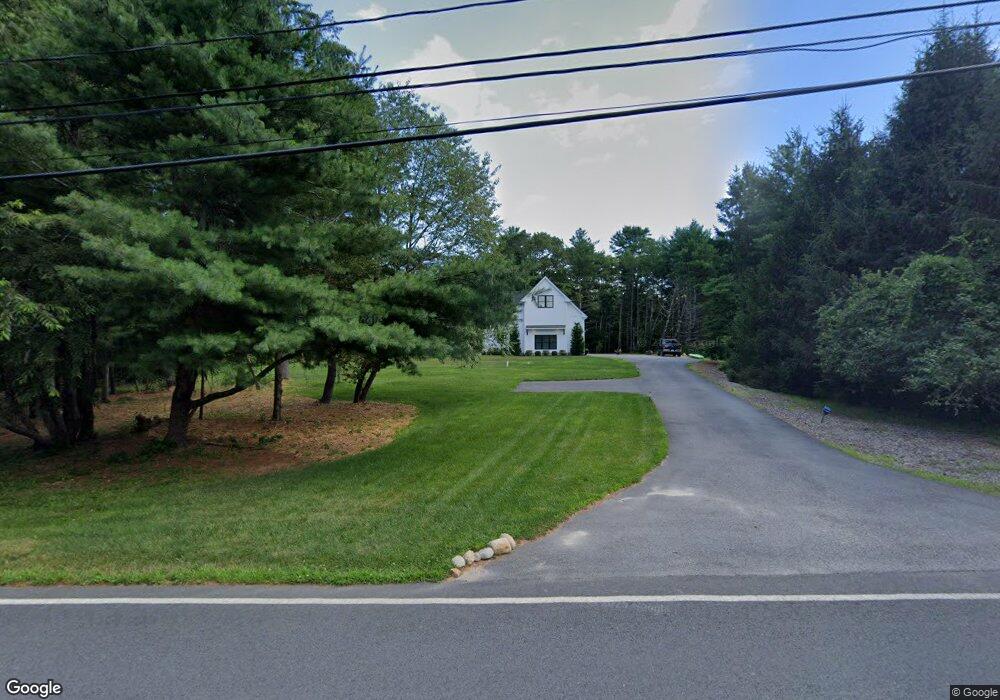
12 High St Rochester, MA 02770
Estimated Value: $773,000 - $964,000
4
Beds
3
Baths
3,011
Sq Ft
$294/Sq Ft
Est. Value
About This Home
This home is located at 12 High St, Rochester, MA 02770 and is currently estimated at $886,734, approximately $294 per square foot. 12 High St is a home with nearby schools including Rochester Memorial School and Old Rochester Regional High School.
Ownership History
Date
Name
Owned For
Owner Type
Purchase Details
Closed on
Dec 9, 2024
Sold by
Mchanon Anthony
Bought by
Mchanon Anthony and Mcmahon Ellen
Current Estimated Value
Purchase Details
Closed on
May 6, 2022
Sold by
Sachem Construction Llc
Bought by
Mcmahon Anthony
Home Financials for this Owner
Home Financials are based on the most recent Mortgage that was taken out on this home.
Original Mortgage
$450,000
Interest Rate
4.42%
Mortgage Type
Purchase Money Mortgage
Purchase Details
Closed on
Feb 23, 1984
Bought by
Mendes Nicholas
Create a Home Valuation Report for This Property
The Home Valuation Report is an in-depth analysis detailing your home's value as well as a comparison with similar homes in the area
Home Values in the Area
Average Home Value in this Area
Purchase History
| Date | Buyer | Sale Price | Title Company |
|---|---|---|---|
| Mchanon Anthony | -- | None Available | |
| Mchanon Anthony | -- | None Available | |
| Mcmahon Anthony | $600,000 | None Available | |
| Mcmahon Anthony | $600,000 | None Available | |
| Mendes Nicholas | $9,000 | -- |
Source: Public Records
Mortgage History
| Date | Status | Borrower | Loan Amount |
|---|---|---|---|
| Previous Owner | Mcmahon Anthony | $450,000 |
Source: Public Records
Tax History Compared to Growth
Tax History
| Year | Tax Paid | Tax Assessment Tax Assessment Total Assessment is a certain percentage of the fair market value that is determined by local assessors to be the total taxable value of land and additions on the property. | Land | Improvement |
|---|---|---|---|---|
| 2025 | $10,564 | $976,300 | $178,400 | $797,900 |
| 2024 | $10,371 | $937,700 | $169,900 | $767,800 |
| 2023 | $9,158 | $771,500 | $169,900 | $601,600 |
| 2022 | $2,844 | $223,200 | $203,200 | $20,000 |
| 2021 | $2,030 | $151,800 | $151,800 | $0 |
| 2020 | $1,983 | $147,100 | $147,100 | $0 |
| 2019 | $1,938 | $138,400 | $138,400 | $0 |
Source: Public Records
Map
Nearby Homes
- 22 High St
- 2 High St
- LOT 21 Walnut Plain Rd
- 555 Walnut Plain Rd
- 549 Walnut Plain Rd
- 588 Walnut Plain Rd
- 4 Stuart Rd
- 544 Walnut Plain Rd
- 66 High St
- 54 High St
- 6 Stuart Rd
- 1 Stuart Rd
- 8 Stuart Rd
- 3 Stuart Rd
- 5 Stuart Rd
- 10 Stuart Rd
- 10 Stuart Rd Unit 1
- 525 Walnut Plain Rd
- 522 Walnut Plain Rd
- 7 Stuart Rd