12 High St South Kingstown, RI 02879
Estimated Value: $2,151,023
--
Bed
--
Bath
11,160
Sq Ft
$193/Sq Ft
Est. Value
About This Home
This home is located at 12 High St, South Kingstown, RI 02879 and is currently estimated at $2,151,023, approximately $192 per square foot. 12 High St is a home located in Washington County with nearby schools including South Kingstown High School and South Shore School.
Ownership History
Date
Name
Owned For
Owner Type
Purchase Details
Closed on
Jun 27, 2002
Sold by
Wakefield Mill Bldg
Bought by
Sbi Bldg Mgmt Co Llc
Current Estimated Value
Home Financials for this Owner
Home Financials are based on the most recent Mortgage that was taken out on this home.
Original Mortgage
$540,000
Interest Rate
6.92%
Mortgage Type
Commercial
Create a Home Valuation Report for This Property
The Home Valuation Report is an in-depth analysis detailing your home's value as well as a comparison with similar homes in the area
Home Values in the Area
Average Home Value in this Area
Purchase History
| Date | Buyer | Sale Price | Title Company |
|---|---|---|---|
| Sbi Bldg Mgmt Co Llc | $675,000 | -- |
Source: Public Records
Mortgage History
| Date | Status | Borrower | Loan Amount |
|---|---|---|---|
| Open | Sbi Bldg Mgmt Co Llc | $500,000 | |
| Closed | Sbi Bldg Mgmt Co Llc | $540,000 |
Source: Public Records
Tax History Compared to Growth
Tax History
| Year | Tax Paid | Tax Assessment Tax Assessment Total Assessment is a certain percentage of the fair market value that is determined by local assessors to be the total taxable value of land and additions on the property. | Land | Improvement |
|---|---|---|---|---|
| 2025 | $10,612 | $1,187,000 | $301,400 | $885,600 |
| 2024 | $11,746 | $1,063,000 | $251,700 | $811,300 |
| 2023 | $11,746 | $1,063,000 | $251,700 | $811,300 |
| 2022 | $11,640 | $1,063,000 | $251,700 | $811,300 |
| 2021 | $14,147 | $979,000 | $230,900 | $748,100 |
| 2020 | $14,147 | $979,000 | $230,900 | $748,100 |
| 2019 | $13,996 | $968,600 | $230,900 | $737,700 |
| 2018 | $13,961 | $890,400 | $191,700 | $698,700 |
| 2017 | $13,632 | $890,400 | $191,700 | $698,700 |
| 2016 | $13,436 | $890,400 | $191,700 | $698,700 |
| 2015 | $14,004 | $902,300 | $203,600 | $698,700 |
| 2014 | $13,968 | $902,300 | $203,600 | $698,700 |
Source: Public Records
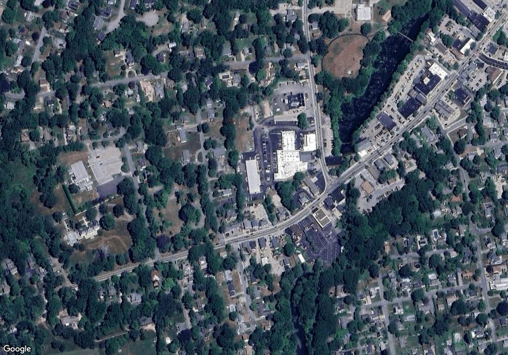
Map
Nearby Homes
- 98 Meadow Ave
- 35 Whittier Dr
- 37 Whittier Dr
- 37 Columbia St
- 23 Rockland Dr
- 10 Hendricks St
- 39 Hazard Ave
- 156 River St Unit B
- 45 Cherry Ln Unit C
- 48 Stone Bridge Dr
- 128 Rodman St
- 47 Tuckertown Rd
- 40 Amos St
- 5 Secluded Dr
- 333 South Rd
- 38 Eisenhower Place
- 228 Rodman St
- 3 Larkin St
- 70 Broad Rock Rd
- 30 Sweet Meadows Ct Unit 26
- 25 Wright Ave
- 43 Wright Ave
- 33 Wright Ave
- 19 Wright Ave
- 19 Wright Ave Unit 2
- 51 Wright Ave
- 10 High St
- 57 Wright Ave
- 473 Main St Unit 473 Main
- 445 Main St
- 471 Main St
- 457 Main St
- 491 Main St
- 103 Birdie Ct Unit 103
- 101 Birdie Ct Unit 101
- 100 Birdie Ct Unit 100
- 102 Birdie Ct Unit 102
- 73 Wright Ave
- 433 Main St
- 476 Main St