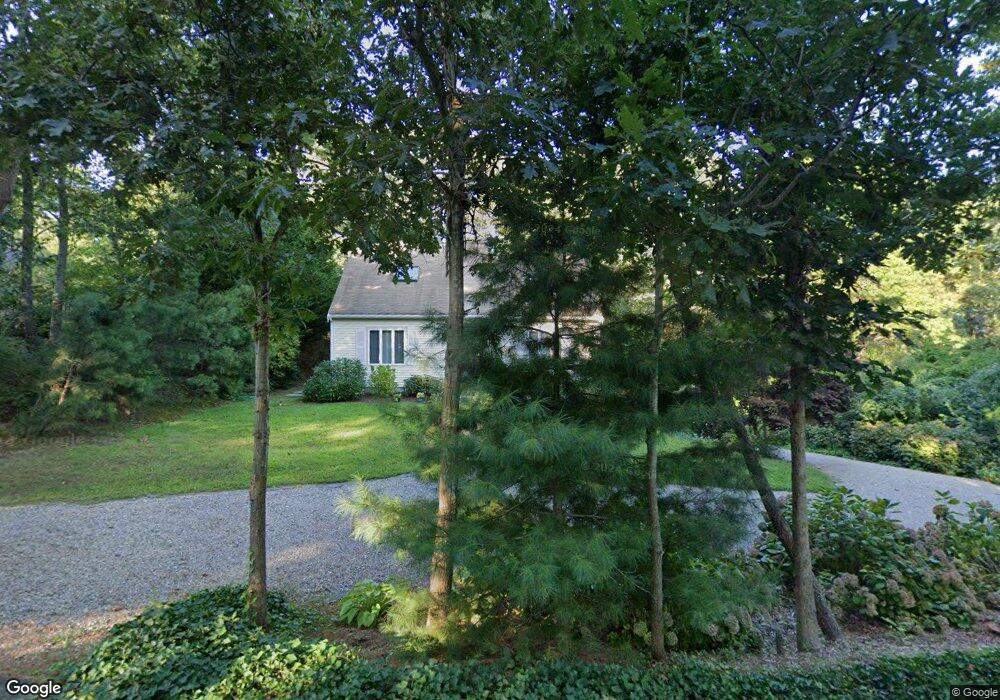
12 Hillcrest Rd Yarmouth Port, MA 02675
Yarmouth Port NeighborhoodEstimated Value: $683,000 - $814,000
3
Beds
3
Baths
1,494
Sq Ft
$489/Sq Ft
Est. Value
About This Home
This home is located at 12 Hillcrest Rd, Yarmouth Port, MA 02675 and is currently estimated at $730,245, approximately $488 per square foot. 12 Hillcrest Rd is a home located in Barnstable County with nearby schools including Dennis-Yarmouth Regional High School.
Ownership History
Date
Name
Owned For
Owner Type
Purchase Details
Closed on
Dec 29, 2011
Sold by
Bova Linda J
Bought by
Leonard Joseph A and Leonard Sheila M
Current Estimated Value
Home Financials for this Owner
Home Financials are based on the most recent Mortgage that was taken out on this home.
Original Mortgage
$235,000
Outstanding Balance
$27,040
Interest Rate
4%
Mortgage Type
Purchase Money Mortgage
Estimated Equity
$703,205
Purchase Details
Closed on
Aug 21, 1998
Sold by
Kbs Rt and Anderson Karl E
Bought by
Bova Kenneth F and Bova Linda J
Purchase Details
Closed on
Jan 22, 1997
Sold by
Sheperdson Robert W
Bought by
Kbs Rt and Anderson Karl E
Create a Home Valuation Report for This Property
The Home Valuation Report is an in-depth analysis detailing your home's value as well as a comparison with similar homes in the area
Home Values in the Area
Average Home Value in this Area
Purchase History
| Date | Buyer | Sale Price | Title Company |
|---|---|---|---|
| Leonard Joseph A | $335,000 | -- | |
| Bova Kenneth F | $39,000 | -- | |
| Kbs Rt | $20,000 | -- |
Source: Public Records
Mortgage History
| Date | Status | Borrower | Loan Amount |
|---|---|---|---|
| Open | Leonard Joseph A | $235,000 | |
| Previous Owner | Kbs Rt | $125,000 | |
| Previous Owner | Kbs Rt | $35,000 | |
| Previous Owner | Kbs Rt | $125,000 |
Source: Public Records
Tax History Compared to Growth
Tax History
| Year | Tax Paid | Tax Assessment Tax Assessment Total Assessment is a certain percentage of the fair market value that is determined by local assessors to be the total taxable value of land and additions on the property. | Land | Improvement |
|---|---|---|---|---|
| 2025 | $4,811 | $679,500 | $152,700 | $526,800 |
| 2024 | $4,476 | $606,500 | $132,800 | $473,700 |
| 2023 | $4,391 | $541,400 | $120,700 | $420,700 |
| 2022 | $3,996 | $435,300 | $115,200 | $320,100 |
| 2021 | $3,911 | $409,100 | $115,200 | $293,900 |
| 2020 | $3,779 | $377,900 | $121,900 | $256,000 |
| 2019 | $3,436 | $340,200 | $121,900 | $218,300 |
| 2018 | $3,292 | $319,900 | $101,600 | $218,300 |
| 2017 | $3,180 | $317,400 | $101,600 | $215,800 |
| 2016 | $3,086 | $309,200 | $93,400 | $215,800 |
| 2015 | $3,023 | $301,100 | $89,400 | $211,700 |
Source: Public Records
Map
Nearby Homes
- 51 Bray Farm Rd N
- 59 Main St Unit 19-2
- 59 Route 6a Unit 29-4
- 268 Main St
- 42 John Hall Cartway Unit 42
- 50 John Hall Cartway
- 50 John Hall Cartway Unit 50
- 64 Kates Path
- 6 Nimble Hill Dr
- 228 Kates Path
- 34 Kates Path
- 34 Kates Path Unit 34
- 44 Stratford Ln
- 17 Kates Path Unit A
- 43 Canterbury Rd
- 13 Covey Dr
- 7 Forest Gate Unit 7
- 30 W Woods
- 6 Thomas Ct
- 30 W Woods Cir Unit 30
- 4 Hillcrest Rd
- 20 Hillcrest Rd
- 15 Bray Farm Rd N
- 9 Bray Farm Rd N
- 20 Longfellow Dr
- 21 Bray Farm Rd N
- 26 Hillcrest Rd
- 42 Longfellow Dr
- 25 Hillcrest Rd
- 1 Bray Farm Rd N
- 10 Embassy St
- 10 Embassy Ln
- 31 Longfellow Dr
- 25 Longfellow Dr
- 37 Longfellow Dr
- 16 Bray Farm Rd N
- 29 Bray Farm Rd N
- 19 Longfellow Dr
- 50 Longfellow Dr
- 43 Longfellow Dr