12 Hog 42 Sapelo Island, GA 31327
Estimated Value: $614,000 - $622,000
3
Beds
2
Baths
1,270
Sq Ft
$487/Sq Ft
Est. Value
About This Home
This home is located at 12 Hog 42, Sapelo Island, GA 31327 and is currently estimated at $618,000, approximately $486 per square foot. 12 Hog 42 is a home with nearby schools including Todd Grant Elementary School, McIntosh County Middle School, and McIntosh County Academy.
Ownership History
Date
Name
Owned For
Owner Type
Purchase Details
Closed on
Jan 1, 2021
Sold by
West Family Partners Lllp
Bought by
Brighton Driftwood Llc
Current Estimated Value
Purchase Details
Closed on
May 4, 2017
Sold by
Newberry Martha W
Bought by
West Fam Partners Lllp
Purchase Details
Closed on
Aug 19, 2015
Sold by
Newberry S Lloyd
Bought by
Newberry Martha W
Purchase Details
Closed on
Oct 2, 2008
Sold by
Ferrell William
Bought by
Sln Liv Trust
Purchase Details
Closed on
Oct 13, 1997
Sold by
Brasher Chris
Bought by
Ferrell William
Purchase Details
Closed on
Nov 20, 1991
Bought by
Brasher Chris
Create a Home Valuation Report for This Property
The Home Valuation Report is an in-depth analysis detailing your home's value as well as a comparison with similar homes in the area
Home Values in the Area
Average Home Value in this Area
Purchase History
| Date | Buyer | Sale Price | Title Company |
|---|---|---|---|
| Brighton Driftwood Llc | -- | -- | |
| West Fam Partners Lllp | $415,000 | -- | |
| Newberry Martha W | -- | -- | |
| Sln Liv Trust | $305,000 | -- | |
| Ferrell William | $5,000 | -- | |
| Brasher Chris | $4,400 | -- |
Source: Public Records
Tax History Compared to Growth
Tax History
| Year | Tax Paid | Tax Assessment Tax Assessment Total Assessment is a certain percentage of the fair market value that is determined by local assessors to be the total taxable value of land and additions on the property. | Land | Improvement |
|---|---|---|---|---|
| 2024 | $2,210 | $74,175 | $9,900 | $64,275 |
| 2023 | $2,218 | $74,215 | $9,900 | $64,315 |
| 2022 | $2,174 | $74,255 | $9,900 | $64,355 |
| 2021 | $1,973 | $74,255 | $9,900 | $64,355 |
| 2020 | $1,974 | $74,295 | $9,900 | $64,395 |
| 2019 | $1,974 | $74,295 | $9,900 | $64,395 |
| 2018 | $1,955 | $73,575 | $9,900 | $63,675 |
| 2017 | $2,108 | $73,575 | $9,900 | $63,675 |
| 2016 | $2,108 | $73,575 | $9,900 | $63,675 |
| 2015 | $2,066 | $72,775 | $9,900 | $62,875 |
| 2014 | $2,780 | $99,415 | $36,540 | $62,875 |
Source: Public Records
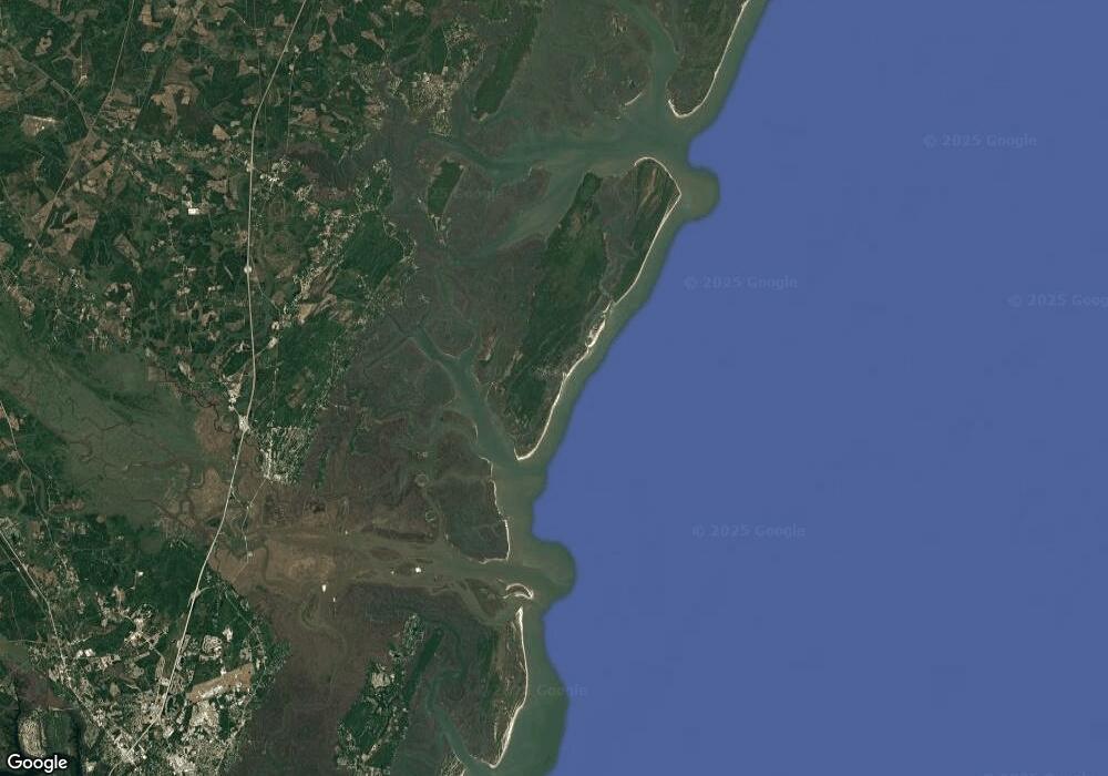
Map
Nearby Homes
- 0 Part of Lot 19 Rd Unit 1653426
- 1871 E Perimeter Rd SE
- 13 Seabreeze Dr
- 1165 Durant Dr SE
- 0 Mission Dr SE Unit 1655895
- Lot 4 Mission Dr SE
- 2486 Mission Dr SE
- 40 Mission Dr
- 12 Tolomato Dr SE
- 1100 Hudson Creek Ct
- Lot 9 Hudson Creek Ct
- Lot 8 Hudson Creek Ct
- 1072 Hudson Creek Ct SE
- 1356 Atwood Rd SE
- Lot 65 Mission Dr SE
- 1298 Baywood Plantation Dr SE
- 1066 Baywood Ave SE
- Lot 8 Hudson Creek Dr SE
- 0 W Mission Dr Unit 1657431
- Lot 46 St Joseph Dr
- 11 Lt A Point
- 1236 Walker Rd
- 1462 Walker Rd
- 1214 Wilson Rd
- 1378 Wilson Rd
- 1512 E Perimeter Rd
- 1025 Green Ln
- 1267 Carter Rd NE
- 1496 E Perimeter Rd
- 1179 Grovner Rd
- 1177 Grovner Rd
- 1736 E Perimeter Rd
- 1353 E Perimeter Rd
- Lot 17-9 Wilson Tract
- 2172 Dixie Hwy
- 2178 Dixie Hwy
- 1 E West Autobahn
- 5 Lt 6x Hog Hamm
- 1239 Old Field Rd
- 1781 Perimeter Rd
