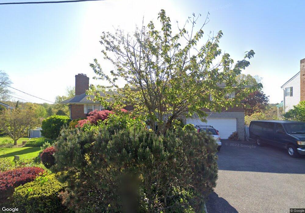
12 Hubbard Cir Bronxville, NY 10708
Estimated Value: $1,376,623 - $1,723,000
6
Beds
4
Baths
4,056
Sq Ft
$390/Sq Ft
Est. Value
About This Home
This home is located at 12 Hubbard Cir, Bronxville, NY 10708 and is currently estimated at $1,582,541, approximately $390 per square foot. 12 Hubbard Cir is a home located in Westchester County with nearby schools including William E Cottle School, Tuckahoe Middle School, and Tuckahoe High School.
Ownership History
Date
Name
Owned For
Owner Type
Purchase Details
Closed on
Aug 31, 2023
Sold by
Unknown
Bought by
Myers Donna and Tiso Antonia
Current Estimated Value
Purchase Details
Closed on
Mar 16, 2017
Sold by
Kaplan Ronald and Kaplan Eileen
Bought by
Pinto Patricia Ann
Purchase Details
Closed on
Jun 30, 1997
Sold by
Linder Paul and Jay Eugene
Bought by
Kaplan Eileen
Create a Home Valuation Report for This Property
The Home Valuation Report is an in-depth analysis detailing your home's value as well as a comparison with similar homes in the area
Home Values in the Area
Average Home Value in this Area
Purchase History
| Date | Buyer | Sale Price | Title Company |
|---|---|---|---|
| Myers Donna | -- | Record & Return Title | |
| Pinto Patricia Ann | $820,000 | Thoroughbred Title | |
| Kaplan Eileen | $165,000 | Chicago Title Insurance Co |
Source: Public Records
Tax History Compared to Growth
Tax History
| Year | Tax Paid | Tax Assessment Tax Assessment Total Assessment is a certain percentage of the fair market value that is determined by local assessors to be the total taxable value of land and additions on the property. | Land | Improvement |
|---|---|---|---|---|
| 2024 | $24,533 | $8,980 | $2,900 | $6,080 |
| 2023 | $23,754 | $8,980 | $2,900 | $6,080 |
| 2022 | $23,025 | $8,980 | $2,900 | $6,080 |
| 2021 | $22,460 | $8,980 | $2,900 | $6,080 |
| 2020 | $22,081 | $8,980 | $2,900 | $6,080 |
| 2019 | $21,702 | $8,980 | $2,900 | $6,080 |
| 2018 | $21,114 | $8,980 | $2,900 | $6,080 |
| 2017 | $0 | $8,980 | $2,900 | $6,080 |
| 2016 | $20,083 | $8,980 | $2,900 | $6,080 |
| 2015 | -- | $8,980 | $2,900 | $6,080 |
| 2014 | -- | $8,980 | $2,900 | $6,080 |
| 2013 | -- | $8,980 | $2,900 | $6,080 |
Source: Public Records
Map
Nearby Homes
- 466 California Rd
- 12 Hewitt Ave
- 629 California Rd
- 10 Westway
- 9 Rittenhouse Rd
- 2 Lockwood Ave Unit 3D
- 2 Lockwood Ave Unit 3B
- 2 Lockwood Ave Unit 2B
- 15 Hillside Rd
- 2 Fordal Rd
- 184 Hillcrest Rd
- 9 White Plains Rd
- 2 Valois Place
- 124 Robins Rd Unit 124
- 118 Robins Rd Unit 118
- 11 Dusenberry Rd
- 306 Hutchinson Blvd
- 257 Sheridan Ave
- 838 Pelhamdale Ave Unit 3R
- 87 Interlaken Ave
- 5 Grissom Dr
- 10 Hubbard Cir
- 4 Grissom Dr
- 14 Hubbard Cir
- 11 Hubbard Cir
- 3 Grissom Dr
- 493 California Rd
- 2 Grissom Dr
- 8 Hubbard Cir
- 15 Hubbard Cir
- 1 Grissom Dr
- 17 Hubbard Cir
- 6 Alexander Place
- 7 Grissom Dr
- 9 Hubbard Cir
- 2 Alexander Place
- 471 California Rd
- 20 Greystone Cir
- 7 Hubbard Cir
- 474 California Rd