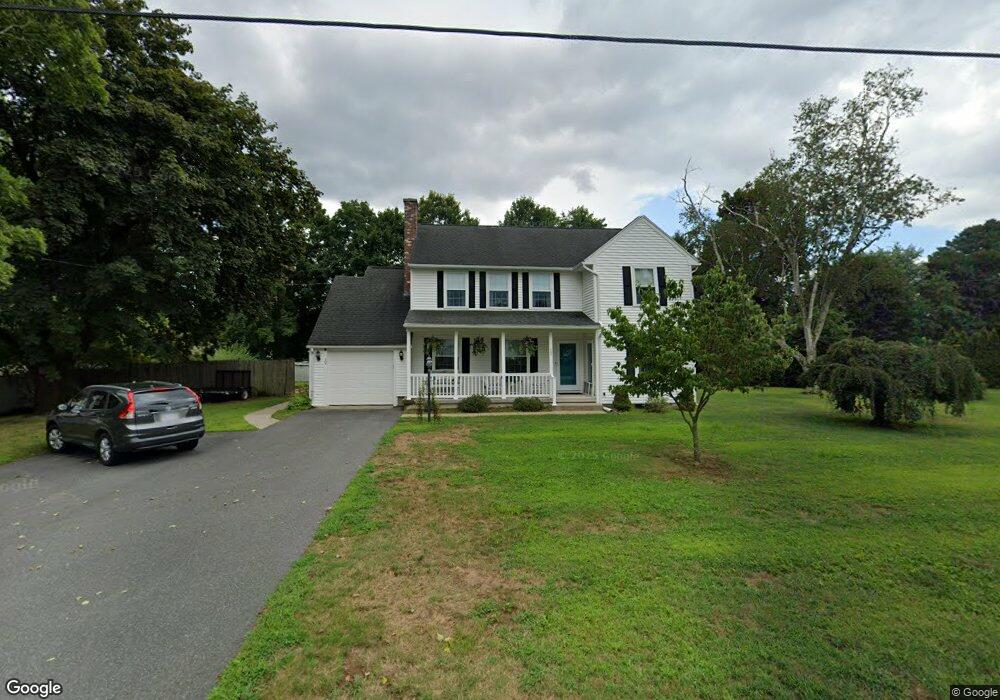
12 Hunting Ln Wilbraham, MA 01095
Estimated Value: $553,000 - $597,000
4
Beds
3
Baths
2,628
Sq Ft
$217/Sq Ft
Est. Value
About This Home
This home is located at 12 Hunting Ln, Wilbraham, MA 01095 and is currently estimated at $570,763, approximately $217 per square foot. 12 Hunting Ln is a home located in Hampden County with nearby schools including Minnechaug Regional High School, Springfield International Charter School, and Wilbraham & Monson Academy.
Ownership History
Date
Name
Owned For
Owner Type
Purchase Details
Closed on
Jan 27, 2011
Sold by
Trimble James W and Trimble Marjorie A
Bought by
Trimble Deborah A and Averill Richard G
Current Estimated Value
Home Financials for this Owner
Home Financials are based on the most recent Mortgage that was taken out on this home.
Original Mortgage
$65,000
Outstanding Balance
$2,511
Interest Rate
4.83%
Mortgage Type
Purchase Money Mortgage
Estimated Equity
$568,252
Purchase Details
Closed on
Oct 1, 1991
Sold by
Rice Marion F
Bought by
Trimble James W and Trimble Marjorie A
Create a Home Valuation Report for This Property
The Home Valuation Report is an in-depth analysis detailing your home's value as well as a comparison with similar homes in the area
Home Values in the Area
Average Home Value in this Area
Purchase History
| Date | Buyer | Sale Price | Title Company |
|---|---|---|---|
| Trimble Deborah A | $100,000 | -- | |
| Trimble James W | $118,000 | -- |
Source: Public Records
Mortgage History
| Date | Status | Borrower | Loan Amount |
|---|---|---|---|
| Open | Trimble James W | $65,000 |
Source: Public Records
Tax History Compared to Growth
Tax History
| Year | Tax Paid | Tax Assessment Tax Assessment Total Assessment is a certain percentage of the fair market value that is determined by local assessors to be the total taxable value of land and additions on the property. | Land | Improvement |
|---|---|---|---|---|
| 2025 | $8,922 | $499,000 | $86,900 | $412,100 |
| 2024 | $9,085 | $491,100 | $86,900 | $404,200 |
| 2023 | $8,257 | $439,200 | $86,900 | $352,300 |
| 2022 | $8,257 | $403,000 | $86,900 | $316,100 |
| 2021 | $7,912 | $344,600 | $95,300 | $249,300 |
| 2020 | $7,712 | $344,600 | $95,300 | $249,300 |
| 2019 | $7,584 | $347,900 | $95,300 | $252,600 |
| 2018 | $7,603 | $335,800 | $95,300 | $240,500 |
| 2017 | $7,388 | $335,800 | $95,300 | $240,500 |
| 2016 | $7,033 | $325,600 | $101,400 | $224,200 |
| 2015 | $6,799 | $325,600 | $101,400 | $224,200 |
Source: Public Records
Map
Nearby Homes
- 68 Monson Rd
- 8 Patriot Ridge Ln
- 2 Bayberry Dr Unit 51
- 6 Hilltop Park
- 1028 Tinkham Rd
- 767 Stony Hill Rd
- 763 Stony Hill Rd
- 12 Highridge Rd
- 14 Brookdale Dr
- 28 Decorie Dr
- 5 Edgewood Rd
- 6 Katie St
- 751 Ridge Rd
- 474 Mountain Rd
- 17 Peak Rd
- 500 Springfield St
- 407 Monson Rd
- 11 Wellfleet Dr
- 474-480 Mountain Rd
- 69 High Pine Cir