12 Jacob Rd Somerset, NJ 08873
Estimated Value: $595,921 - $623,000
--
Bed
--
Bath
2,246
Sq Ft
$272/Sq Ft
Est. Value
About This Home
This home is located at 12 Jacob Rd, Somerset, NJ 08873 and is currently estimated at $609,980, approximately $271 per square foot. 12 Jacob Rd is a home located in Somerset County with nearby schools including Franklin High School, Central Jersey College Prep Charter School, and Thomas Edison EnergySmart Charter School.
Ownership History
Date
Name
Owned For
Owner Type
Purchase Details
Closed on
Sep 28, 2006
Sold by
Litwinetz Raymond J
Bought by
Patullo Thomas and Patullo Florence
Current Estimated Value
Home Financials for this Owner
Home Financials are based on the most recent Mortgage that was taken out on this home.
Original Mortgage
$320,000
Outstanding Balance
$196,433
Interest Rate
6.52%
Estimated Equity
$393,556
Purchase Details
Closed on
Dec 29, 2003
Sold by
Canal Walk Associates Llc
Bought by
Litwinetz Raymond J and Litwinetz Evelyn G
Create a Home Valuation Report for This Property
The Home Valuation Report is an in-depth analysis detailing your home's value as well as a comparison with similar homes in the area
Home Values in the Area
Average Home Value in this Area
Purchase History
| Date | Buyer | Sale Price | Title Company |
|---|---|---|---|
| Patullo Thomas | $400,000 | -- | |
| Litwinetz Raymond J | $264,900 | -- |
Source: Public Records
Mortgage History
| Date | Status | Borrower | Loan Amount |
|---|---|---|---|
| Open | Patullo Florence | $158,000 | |
| Closed | Patullo Florence | $165,920 | |
| Closed | Patullo Florence | $115,500 | |
| Closed | Patullo Thomas | $100,000 | |
| Open | Patullo Thomas | $320,000 |
Source: Public Records
Tax History Compared to Growth
Tax History
| Year | Tax Paid | Tax Assessment Tax Assessment Total Assessment is a certain percentage of the fair market value that is determined by local assessors to be the total taxable value of land and additions on the property. | Land | Improvement |
|---|---|---|---|---|
| 2024 | $8,528 | $469,100 | $224,600 | $244,500 |
| 2023 | $8,784 | $454,900 | $210,400 | $244,500 |
| 2022 | $8,592 | $421,600 | $177,100 | $244,500 |
| 2021 | $8,497 | $383,600 | $139,100 | $244,500 |
| 2020 | $8,363 | $369,400 | $124,900 | $244,500 |
| 2019 | $8,504 | $369,400 | $124,900 | $244,500 |
| 2018 | $8,592 | $369,400 | $124,900 | $244,500 |
| 2017 | $8,260 | $353,900 | $110,600 | $243,300 |
| 2016 | $8,320 | $353,900 | $110,600 | $243,300 |
| 2015 | $7,932 | $339,700 | $96,400 | $243,300 |
| 2014 | $7,383 | $320,700 | $77,400 | $243,300 |
Source: Public Records
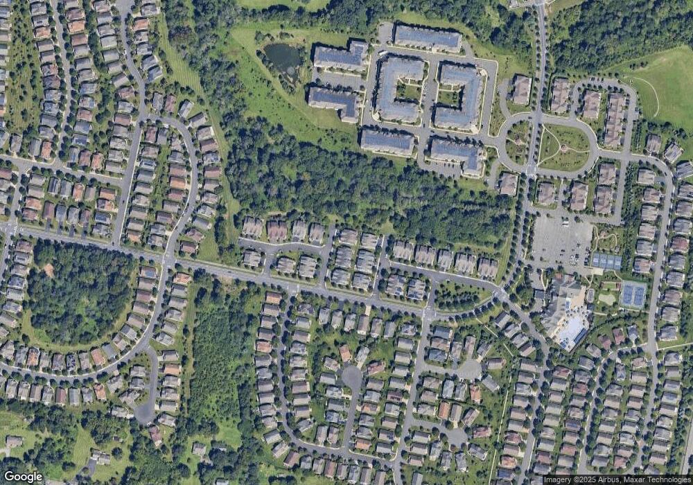
Map
Nearby Homes
- 12 Farrington Plaza
- 1 Silcox Place
- 22 Hardenbergh St
- 12 Witherspoon Way
- 4204 Enclave Cir Unit 14204
- 1103 Enclave Cir Unit 1103
- 138 Canal Walk Blvd
- 53 Patriots Way
- 148 Saratoga Ct
- 79 Constitution Way
- 9 Independence Ct
- 50 Patriots Way
- 23 Schenck Ln
- 107 Weston Rd
- 107-109 Weston Rd
- 1 Shadowlawn Dr
- 1111 Millstone River Rd
- 8 Theodora Dr
- 925 S Main St
- 109 Weston Rd